You cannot ride all the way round Cam Ranh bay, because the navy owns the middle of it. What you can ride, in a long half day from the airport or a full day from Nha Trang, is the frame: Nguyễn Tất Thành boulevard down the Bãi Dài strip to the airport, the road round the head of the bay to Ba Ngòi on the west shore, QL1A south past the salt pans, the Cam Lập road east to the promontory at the bay mouth, and QL1A north again through the mango country. It is the best short ride in the south of the province, and it is the one where the rules matter most.
Nothing on it needs a boat, a ticket or a permit. The whole loop is public road, and the only skill required is knowing which side of the fence you are on.
What is the bay, in two paragraphs?
Cam Ranh bay is widely described as the finest deep-water shelter in Southeast Asia: a narrow entrance opening into a bay about 32 km long and over 3 km wide, 18 to 30 m deep, sheltered by islands and ridges up to 400 m, with the continental shelf so narrow that deep ocean comes almost to the shore. Sources give its area as about 140 km2 or 60 km2, the larger figure probably taking in the outer bay. It sits about 290 km north-east of Ho Chi Minh City.
Every navy that reached this coast used it: the French, the Japanese, then the Americans, who built a major base in months after the Vũng Rô incident of February 1965, with a 10,000-foot runway finished in about 50 days, and handed it to South Vietnam in May 1972. North Vietnamese forces captured it on 3 April 1975; the Soviet Union leased it from 1979 and Russia left on 2 May 2002. Today it is the Vietnam People’s Navy’s main base and submarine facility, the civilian airport sits on the old runway site, and Cam Ranh International Port has taken foreign warships since 8 March 2016. The salt and lobster road goes into the working side of all this; here it is context for where the fences are.
Leg one: Nguyen Tat Thanh down the strip
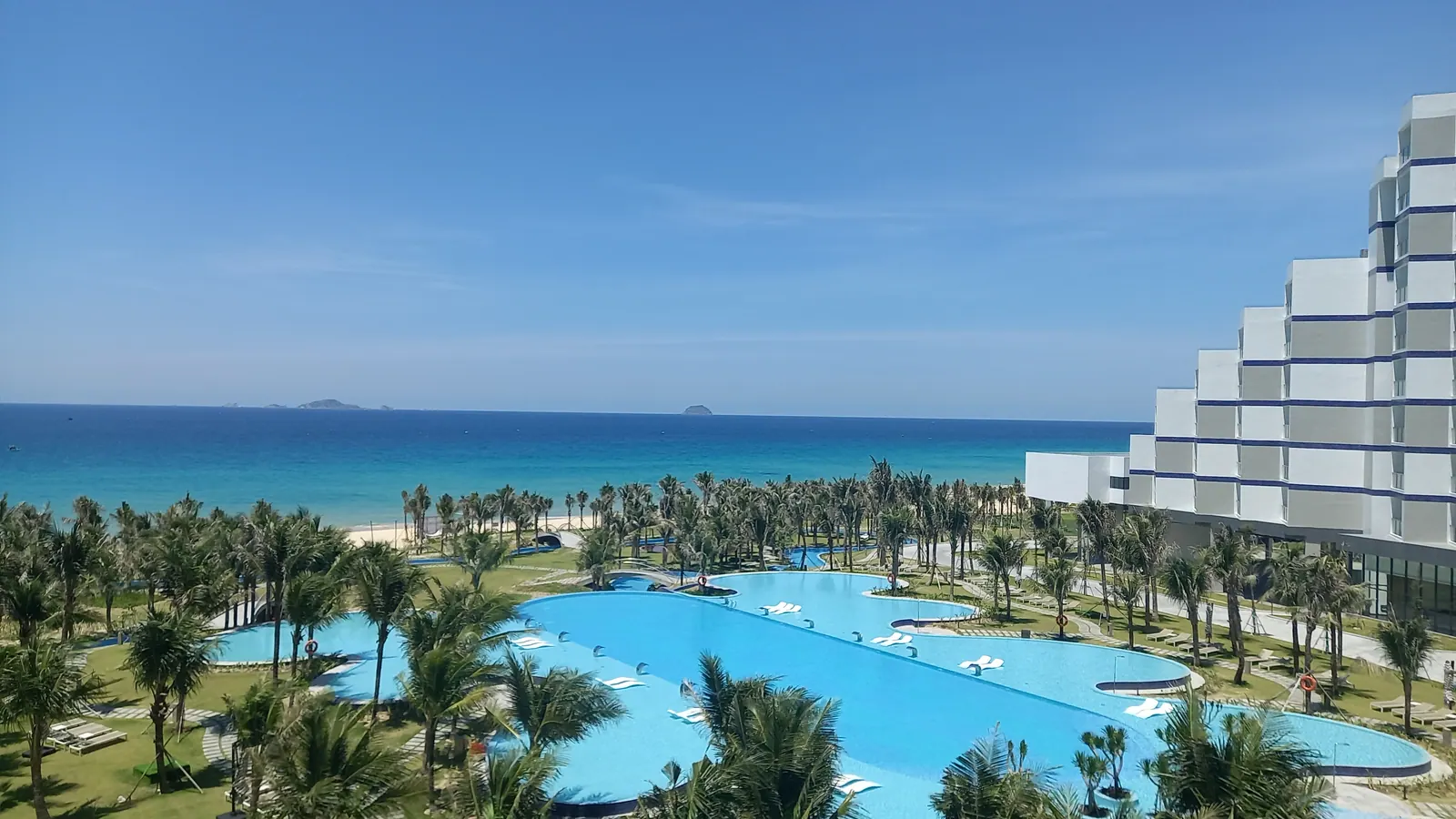
From Nha Trang the boulevard runs south along the coast for about 30 km to Cam Ranh by Tuổi Trẻ’s figure, including the 8 km Cù Hin pass over the Đồng Bò range, which is the best stretch of road within an hour of the city. Beyond the pass it drops to sea level and runs dead straight along Bai Dai, with roughly 15 km of resorts on the sea side and the flat of Cam Lâm on the other. The beach is public; the access points are the gaps between resorts. Bai Dai in the wind season is the beach from those gaps.
The Gạc Ma memorial is on the boulevard at the Cam Lam end, free, and worth an hour; the memorial post explains it. The strip ends at Cam Ranh International Airport, about 35 km from Nha Trang by Vietnam Airlines’ figure and 30 km by Wikipedia’s, on the north end of the peninsula. Civil flights have used the old base runway since 19 May 2004; the second runway opened on 10 October 2019. You do not ride onto the peninsula beyond the terminal. The road stops being yours there.
Leg two: round the head of the bay to Ba Ngoi
From the airport the road turns west round the head of the bay and joins QL1A, and Ba Ngoi, the main ward of the former Cam Ranh city, is about 19 km by road from the terminal, 25 minutes in a taxi. This is the leg where the bay first opens up on your left, wide and flat, with the peninsula and its low ridge across the water and the rafts in the shallows. Ba Ngoi has the market, best before eight, the waterfront and the port; the afternoon in Ba Ngoi post has the town.
It is also the leg with the most uniforms. Since 1 January 2025 Law 25/2023/QH15 has prohibited recording, filming, surveying, mapping or publishing material about defence works and military zones. I could not find out which stretches of the Ba Ngoi waterfront are signed, so I follow the legal rule rather than a local one: the boats, the rafts and the water are fine, grey hulls and gates are not, and a drone stays home for the whole loop.
Leg three: south past the salt, east to Cam Lap
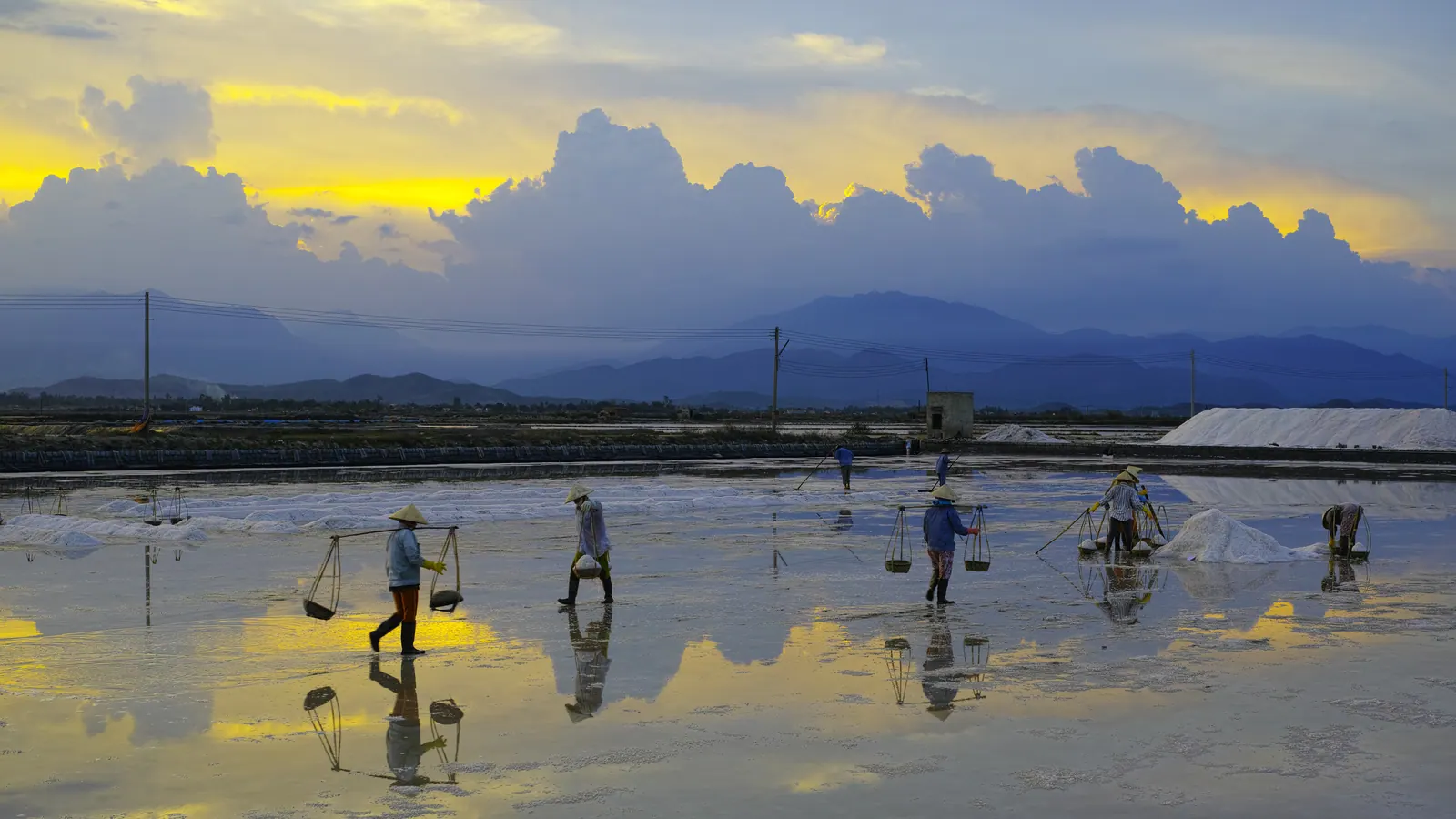
South of Ba Ngoi, QL1A runs through Nam Cam Ranh commune, formed on 16 June 2025 from the old Cam Lap, Cam Bình, Cam Thịnh Đông and Cam Thịnh Tây communes, and the shore turns into salt pans: a grid of shallow mirrors at first light, white cones by mid-morning. They are working family plots, free to look at from the road.
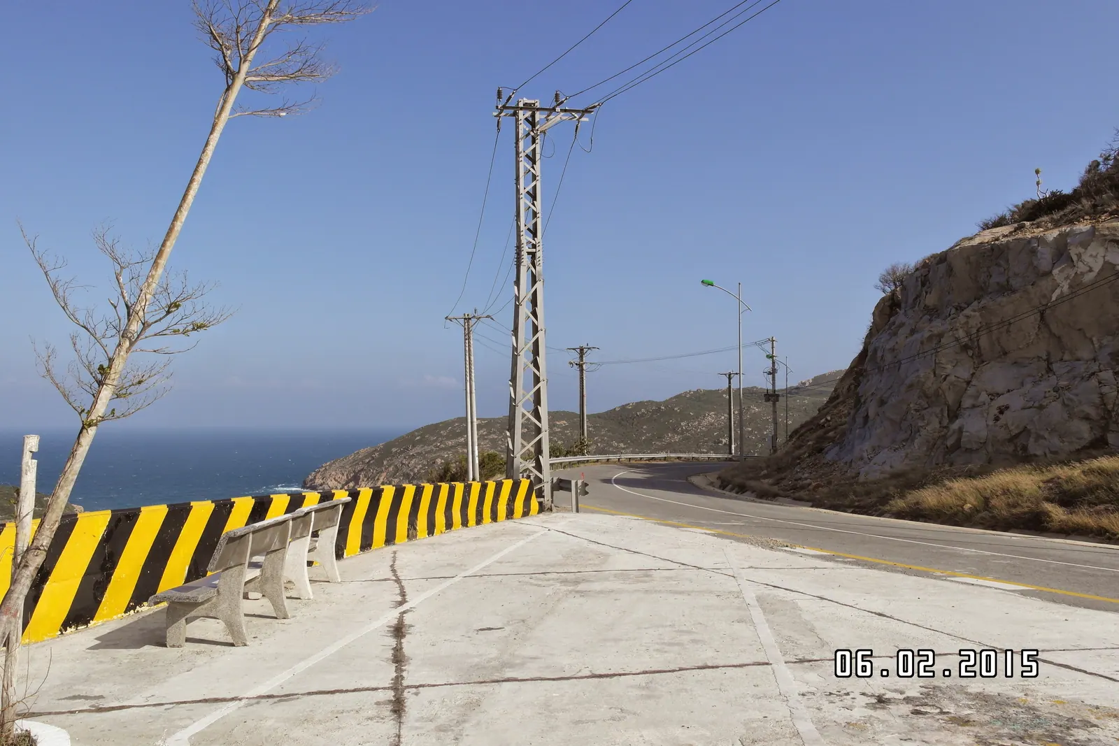
Then the turn east, signposted for Bình Lập, out along the Cam Lap headland on the south-east side of the bay. The shoreline here is boulder points and small rocky coves looking straight out of the bay mouth, with beach camps and homestays rather than resorts, and the clearest water on the loop. The operators of individual coves may charge for parking or a lounger, so agree it first. If you keep going, the road runs on to the Binh Lap peninsula, about 40 km from Cam Ranh town by a 2025 guide or about 50 km from the airport by a 2026 one; a weekend in Binh Lap is that extension, and it turns the half day into two.
What you are looking at across the water from Cam Lap is Binh Ba, and the answer to the obvious question is no. The islands at the bay mouth have been closed to tourism since the June 2026 order; the view from the promontory is as close as anyone is allowed, and it is a good view.
Leg four: back on QL1A
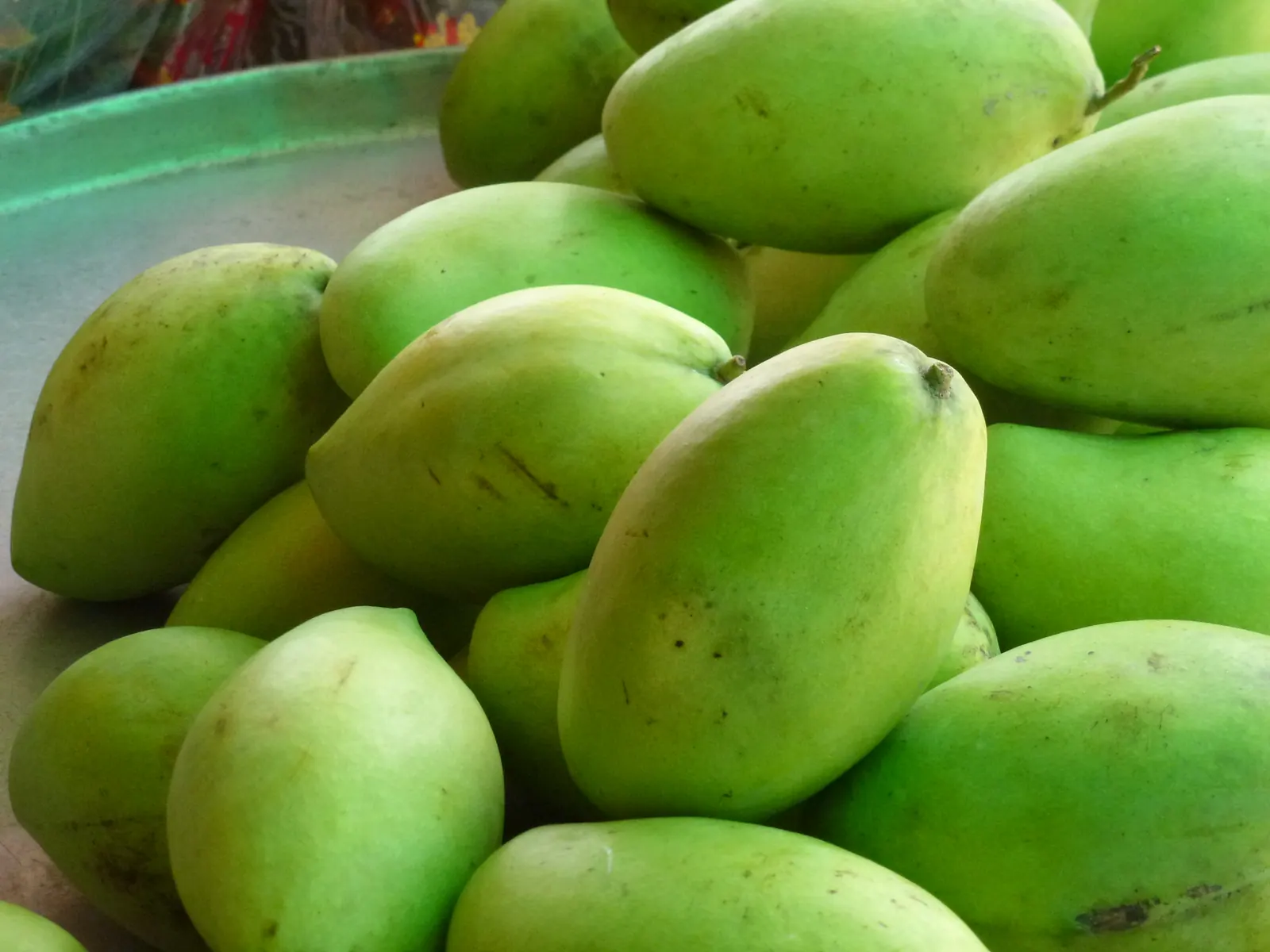
Back to QL1A and north. Through Cam Ranh the highway is trucks; north of the town it runs up through Cam Lam’s orchard country, where the mango stands line both sides of the road in season, and on to Diên Khánh and the city. From the airport, Phan Rang is about 60 km south by QL1A, my arithmetic from the 95 km Nha Trang to Phan Rang figure less the 35 km to the airport; if you would rather go that way than home, the Nui Chua coast road is the reason, and the seven-day loop is what happens when you do not turn back at all.
| Leg | Distance | Source |
|---|
| Nha Trang to Cam Ranh along Nguyen Tat Thanh | about 30 km, including the 8 km Cu Hin pass | Tuoi Tre, April 2025 |
| Airport to the Bai Dai resort strip | about 10 km; the strip begins a few km north of the terminal | camranh.aero |
| Airport to Nha Trang | 35 km by Vietnam Airlines, 30 km by Wikipedia; 40 to 60 minutes | Vietnam Airlines; Wikipedia |
| Airport to Ba Ngoi | about 19 km; 25 minutes by taxi | Cam Ranh Guide |
| Cam Ranh town to Binh Lap | about 40 km | vexere, June 2025 |
| Airport to Binh Lap | about 50 km | mia.vn, May 2026 |
| Airport to Phan Rang by QL1A | about 60 km, my arithmetic | Wikipedia; Vietnam Airlines |
Where you stop and where you do not
You stop at the Bai Dai access gaps, the memorial, the Ba Ngoi market and waterfront, the salt pans from the roadside, and any cove on the Cam Lap road that will have you. You do not stop at the airport perimeter, the port, any gate with a soldier on it, or anywhere a sign in red tells you not to, and you do not photograph any of those. I have never been challenged on this loop, and I would like to keep it that way.
Field note: ride it clockwise, Bai Dai first. You get the strip in the morning light, the bay opening on your left all the way round, and the salt pans before the glare. Anticlockwise, the salt is in full sun and the boulevard is in the afternoon traffic.
What I’d do
- From Nha Trang, leave at first light and take the boulevard south over the Cu Hin pass, stopping at a Bai Dai gap for a walk on the sand and at the Gac Ma memorial for an hour.
- Round the head of the bay to Ba Ngoi before the market winds down, then south on QL1A past the salt.
- Turn east for Cam Lap, swim in a cove, and eat on a raft off the road with the price fixed before it is cooked.
- Decide at the promontory: back north on QL1A for home by mid-afternoon, on to Binh Lap for the night, or south to Phan Rang and the coast road.
- If you are without a bike, the Cam Ranh Guide page on taxis and Grab says what a driver for the loop involves, and its airport page covers the start and end point.