Skip the resort strip and Cam Ranh is Ba Ngòi: a port town and a navy town on the west shore of the bay, about 19 km by road from the airport on the peninsula opposite, with a seafood market, a waterfront, a pagoda covered in shells, a roundabout with coffee on it, and the base behind its fences. There is not much, and an afternoon is enough. I go anyway, several times a year, for the market at the start of the day and the light on the bay at the end of it, and because it is the one town on this coast that has no idea what a tourist looks like.
This is an honest post about a working town. If you want things to do, the salt and lobster road starts here and is the better day. If you want to understand why the town is the shape it is, read on.
What is Cam Ranh, on paper, in 2026?
Cam Ranh was a provincial city from 23 December 2010: 316 km2 and 134,100 people in 2024, the second urban centre of the province after Nha Trang. Since 1 July 2025 it has not existed as an administrative unit. Under the two-tier reform that abolished every district and provincial city in Vietnam, Resolution 1667/NQ-UBTVQH15 of 16 June 2025 redrew it as four wards and one rural commune.
| Unit from 1 July 2025 | Made from |
|---|
| Bắc Cam Ranh ward | Cam Nghĩa, Cam Phúc Bắc, Cam Thành Nam |
| Cam Ranh ward | Cam Phú, Cam Lộc, Cam Phúc Nam |
| Cam Linh ward | Cam Thuận, Cam Lợi, Cam Linh |
| Ba Ngòi ward | Ba Ngòi and Cam Phước Đông |
| Nam Cam Ranh commune | Cam Lập, Cam Bình, Cam Thịnh Đông, Cam Thịnh Tây |
Ba Ngoi is the ward that matters to a visitor: 78.18 km2 with about 31,700 residents in 2024, which is the ward as it stood before Cam Phuoc Dong was folded into it in 2025, created on 7 July 2000, when Cam Ranh was made a town, ten years before it became a provincial city, and the working centre on the water. Wikipedia lists the population as Kinh, Tanka and Cham. The merger post explains what the reform means for addresses and offices; for a visitor it means the address is now phường Ba Ngòi rather than thành phố Cam Ranh, and nothing else has moved.
What is there to see?
The market first, and early. Ba Ngoi market is the everyday produce and seafood market for the southern half of the bay, and by mid-morning the seafood trade is over. Ba Ngoi is one of the three landing points, with Đá Bạc and Đầm Thủy Triều, that supply Cam Ranh’s wholesale seafood houses, which is why the fish here is cheaper and fresher than in any market in Nha Trang. A local guide traces the town’s main market to fishermen gathering on the Ba Ngoi shore in the early twentieth century to trade the catch for household goods, and says the vendors will pack and ice seafood for the airport. I have never tested the second claim. The Cam Ranh Guide page on Ba Ngoi market has the practicalities.
Then the waterfront, which is boats, rafts, the port and a lot of sky. Then Từ Vân pagoda, known for structures encrusted with shells and coral; I have no fee or hours to give you, because I never found them published, and it has always been open when I passed. Then the roundabout where Hùng Vương boulevard meets 22 Tháng 8 street, which is the centre of town and where the coffee is. That is the list, and I have not padded it.
Why is the town the shape it is?
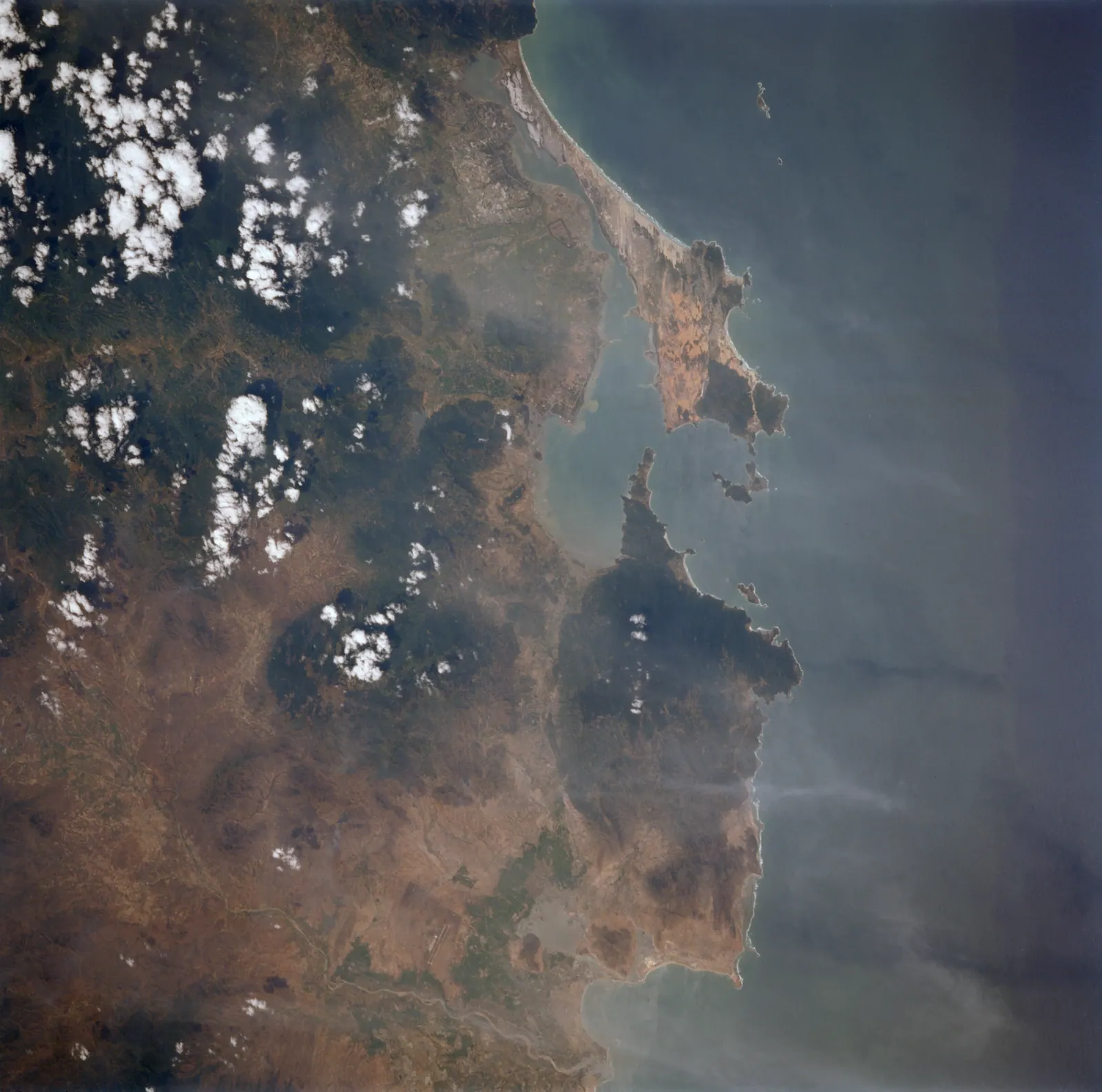
Because of the bay, which is widely described as the finest deep-water shelter in Southeast Asia: about 32 km long, over 3 km wide, 18 to 30 m deep, behind a narrow entrance. Every navy that reached this coast used it. The French based colonial forces here. The Japanese staged the 1941 and 1942 invasions of Malaya and Borneo from the bay, and in January 1945 a US task force destroyed most of what they had built. After the Vũng Rô incident of February 1965 the Americans built a major base in months, with a 10,000-foot runway finished in about 50 days by October 1965, and handed it to South Vietnam in May 1972. North Vietnamese forces took it on 3 April 1975.
The Soviet Union signed a 25-year lease in 1979 and by 1987 had made it four times its original size, the USSR’s largest overseas naval base; Russia completed its withdrawal on 2 May 2002. Today the bay is the Vietnam People’s Navy’s main base and submarine facility, home to the 189th Submarine Brigade, and Cam Ranh International Port, the dual-use port opened on 8 March 2016, sits on the same water. Ba Ngoi has always been the town that served all of them, and it shows: the port, the fences, the number of men in uniform in the coffee shops, and the absence of anything built for visitors.
What you may not photograph
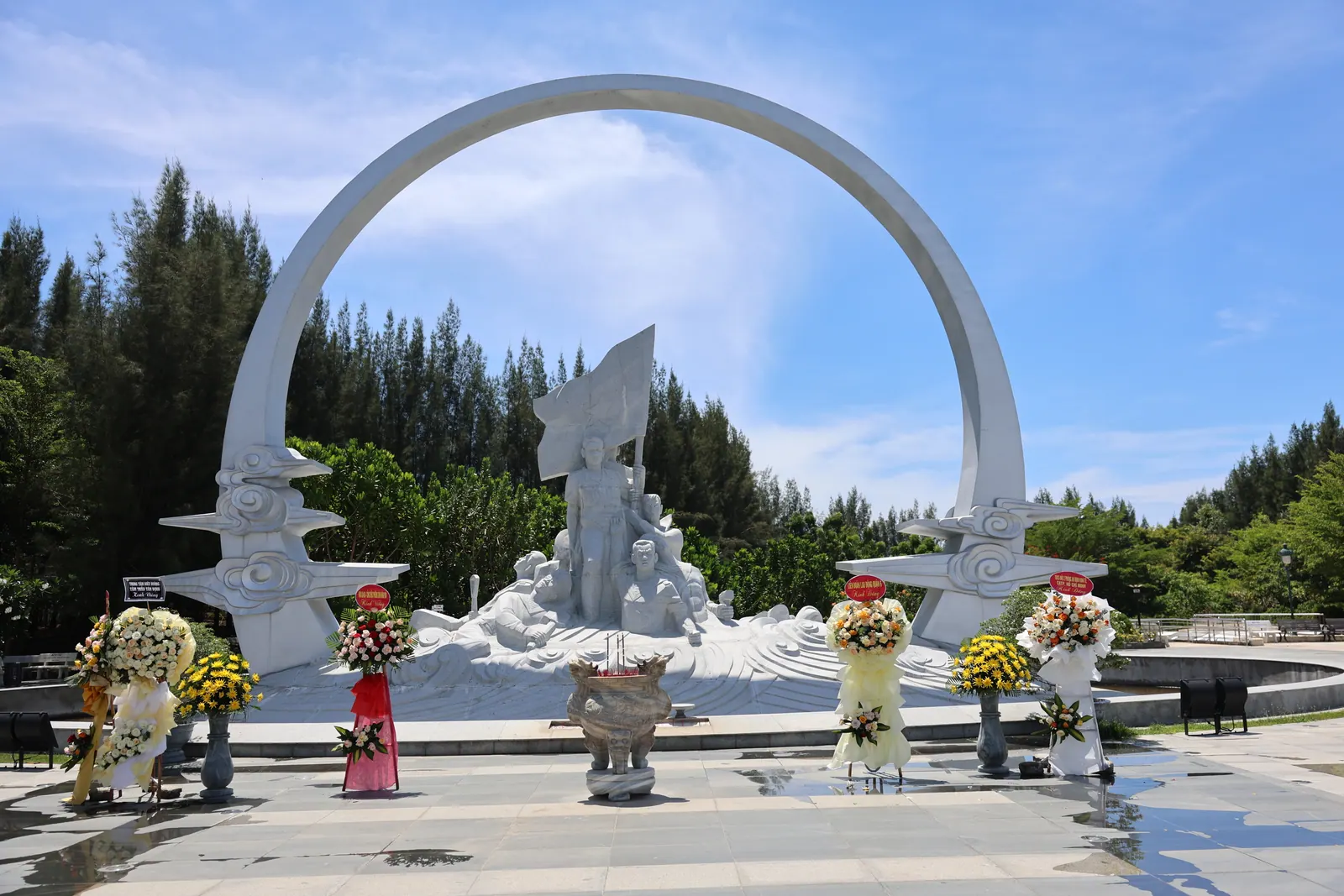
Since 1 January 2025, Law 25/2023/QH15 has prohibited recording, filming, surveying, mapping or publishing material about defence works and military zones, except with permission. Decision 38/2025/QĐ-TTg, in force from 1 December 2025, put even the international port’s visiting passengers under the supervision of the base protection force. I could not find out which stretches of the Ba Ngoi waterfront are signed as prohibited, and I could not find a published penalty. So the rule I follow is the legal one: the market, the fishing boats, the rafts and the water are fine; grey hulls, the port, gates and anything behind a military sign are not, and a drone does not leave the bag. The Gac Ma memorial across the bay is the place to think about what the navy is for; Ba Ngoi is where you see it working.
The pier that used to go to the islands
Ba Ngoi port was the quay for the wooden ferry to Bình Ba: older guides list it at 25,000 to 30,000 VND, 30 to 60 minutes, with about four departures a day, and note that foreigners were being refused at the port before the 2026 order. On 4 June 2026 the province ordered every tour and every tourist transport to Binh Ba and Binh Hung stopped, for everyone, because both islands lie inside the security belt of the base. Why I am not writing a Binh Ba guide has the documents.
Whether a residents’ boat still runs I could not confirm. It does not matter for you: a tourist may not board it. The pier is now a place to look at the bay, and on a late afternoon with the rafts lit up it is a good one.
Getting there and away
From the airport, the road round the bay is about 19 km and a taxi takes about 25 minutes. Bus 18 runs between Nha Trang and the airport, 35 km in about an hour, and the guides disagree on the fare, so budget 65,000 VND for the full route; it does not come to Ba Ngoi. A local tourism site says city buses reach the Cam Ranh market from Nha Trang in about 45 minutes, which I have not tested. There is a railway station, Ga Ngã Ba in Cam Phước Đông, but the booking site listed no services on 11 September 2026 and I would not plan around a train stopping here. The Cam Ranh Guide page on buses and trains keeps the timetable side current. I come by motorbike down QL1A, which is the honest answer.
What I’d do
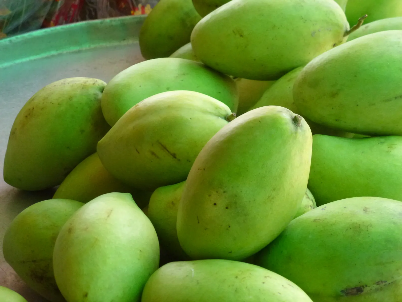
- Arrive before eight, not in the afternoon: the market is the reason, and it is a morning market. Buy salt and dried squid, and watch what the seafood costs before you eat any.
- Walk the waterfront while the light is still low, camera pointed at the fishing boats and nothing else.
- Coffee at the Hung Vuong roundabout, then Tu Van pagoda.
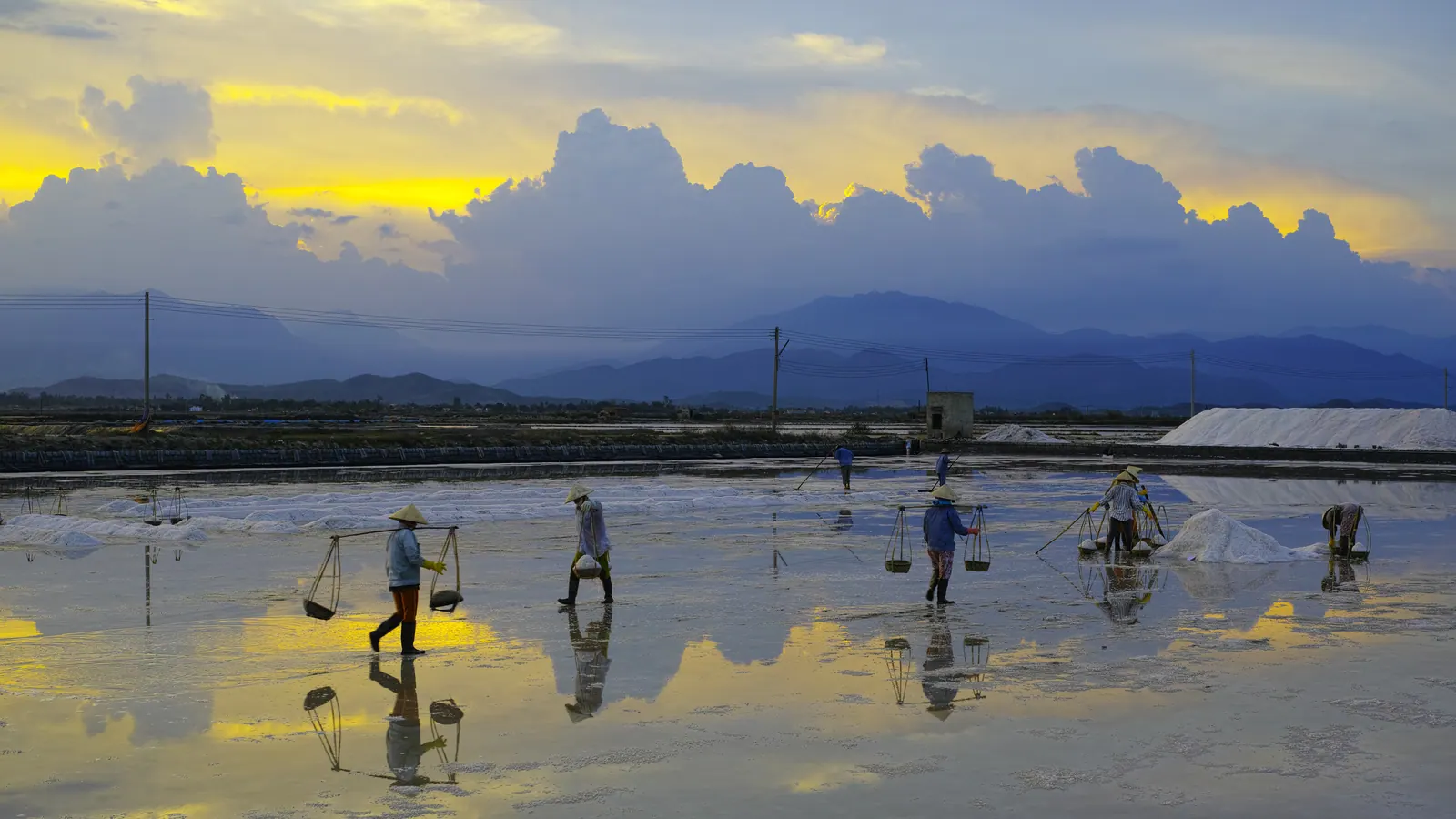
- If the day is young, ride south along the salt and lobster road and eat on a raft off the Cam Lap road, price fixed before it is cooked. If it is not, eat in town; nothing here is sold by the plate either.
- Leave before dark. QL1A through the town after sunset is trucks and no lights.