Khanh Hoa Guide Two years in Nha Trang and every road in the province

Region / Vạn Ninh / 51 km from Nha Trang as the crow flies

Van Ninh

The far north of the province is one enormous bay, Van Phong, with a sand spit running out into it and a headland at the end of the spit that is the easternmost point of mainland Vietnam. There is an island you can walk to at low tide, a beach at the foot of the Ca pass, and very few other visitors.

Everything here takes a full day from Nha Trang. I have never regretted one of them.

Hotels and hard practical facts for this area live on Nha Trang Guide, which I also write.

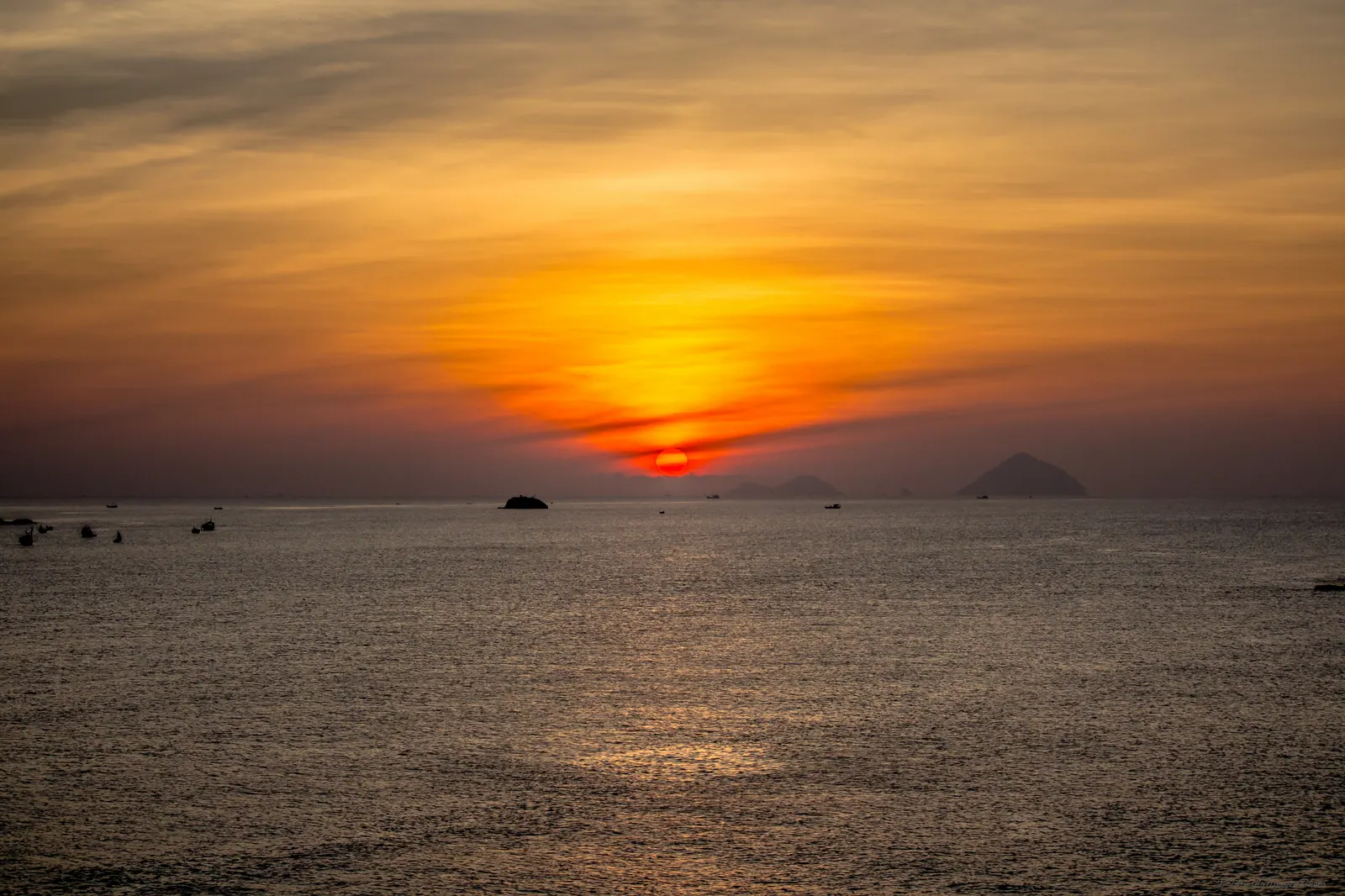
A red sun rising over the calm water of Van Phong bay.
Photo: Phong Nguyen, CC BY 2.0

4 posts from Van Ninh

All regions

Van Phong Bay: the huge bay nobody has heard of

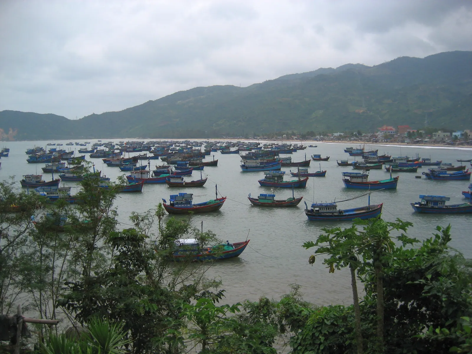
Van Phong is Khanh Hoa's largest bay and its least visited: 150,000 hectares between the Hon Khoi headland and the Hon Gom sandbar, 60 km north of Nha Trang, with a 17 km mouth, 20 to 27 m deep. The depth drew a port that never got built; the shelter holds about 35,000 lobster cages. For a visitor it means Diep Son, Mui Doi, Whale Island and Doc Let.
7 min

Dai Lanh beach and the Ca pass: the north edge of Khanh Hoa

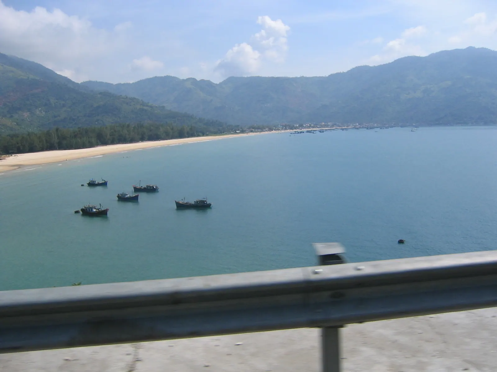
Dai Lanh is the last beach before the Ca pass, 80 km north of Nha Trang and 30 km from Tuy Hoa: white sand, a fishing village, a railway halt and a 20,000 VND shower ticket in 2025. Motorbikes ride the 12 km pass road, cars use the 4.1 km tunnel open since 2017. The Dai Lanh lighthouse is on Mui Dien, over the pass in another province.

6 min

Diep Son's path through the sea: why the tide chart matters

Diep Son is three islands in Van Phong Bay, about 60 km north of Nha Trang, joined by a sandbar that shows at low tide and is about a metre under at high tide. Lunar days 1 to 15 the water falls in the afternoon, days 16 to 30 in the morning. Boats from Van Gia pier run 07:00 to midday, 100,000 to 300,000 VND return; December to June.

6 min

Walking to Mui Doi, mainland Vietnam's easternmost point

Mui Doi, at the tip of the Hon Gom sandbar in Dai Lanh commune, is the easternmost point of mainland Vietnam; Mui Dien across the water in the former Phu Yen is second. You reach it on foot from Dam Mon, 12 to 13 km each way over dunes, forest and boulders with a night at Bai Rang beach, or by hired boat in 30 to 45 minutes. January to June is the season.

7 min

Where it is

Van Ninh on the map of Khanh Hoa Van Gia (Van Phong Bay: the huge bay nobody has heard of) Diep Son (Hon Bip) (Van Phong Bay: the huge bay nobody has heard of) Whale Island (Hon Ong) (Van Phong Bay: the huge bay nobody has heard of) Mui Doi (Van Phong Bay: the huge bay nobody has heard of) Doc Let beach (Van Phong Bay: the huge bay nobody has heard of) Dai Lanh (Dai Lanh beach and the Ca pass: the north edge of Khanh Hoa) Diep Son (Hon Bip) (Diep Son's path through the sea: why the tide chart matters) Van Gia pier (Diep Son's path through the sea: why the tide chart matters) Mui Doi (Walking to Mui Doi, mainland Vietnam's easternmost point) Nha Trang Cam Ranh Dien Khanh Ninh Hoa Van Ninh Khanh Vinh Khanh Son Ninh Thuan 51 km 20 km

this region other regions places in these posts

In one line

Van Phong bay, the walk to the easternmost point of the mainland, the tide path to Diep Son, the Ca pass.

Straight-line distance from the Nha Trang beachfront to Van Ninh: 51 km. Road distances are longer and are quoted in the posts from their sources.