Vân Phong is the biggest bay in Khánh Hòa and the one visitors know least: about 150,000 hectares between the Hòn Khói headland and the Hòn Gốm sandbar, 60 km north of Nha Trang by road, with a mouth 17 km wide and water 20 to 27 m deep. The depth is why the state has been trying to build a container transshipment port here since 2009. The shelter is why some 35,000 lobster cages float in it.
For a visitor, today, the bay means four things: the tide sandbar at Điệp Sơn, the walk to Mũi Đôi, one resort on Whale Island, and Dốc Lết beach on the southern headland. The rest is fishing villages, a shipyard, salt pans and plans, and the plans are the part that will change.
How big is it, really?
The figures below are from Vietnamese Wikipedia’s article on the bay and its article on the former Vạn Ninh district, plus an August 2025 piece in the provincial paper. Where they disagree I give both. The province as a whole has about 490 km of coastline and roughly 200 inshore islands; this bay accounts for a large share of the calm water in that total.
| Measure | Figure | Source |
|---|
| Total area | 150,000 ha, about 1,500 km2 | Wikipedia, bay article |
| Water | About 80,000 ha; land about 70,000 ha | Wikipedia, bay article |
| Mouth | 17 km wide, open to the East Sea | Wikipedia, bay article |
| Maximum length | 25 km | Wikipedia, bay article |
| Depth | 22 m average, 25 m maximum | Wikipedia, bay article |
| Depth, other reading | 20 to 27 m average | Wikipedia district article; Bao Khanh Hoa, August 2025 |
| From Nha Trang | More than 30 km as the crow flies; 60 km by road | Wikipedia |
The islands are Hòn Cỏ Cỏ and Hòn Bến Gội in the Wikipedia list, plus Diep Son, Hòn Ông (Whale Island) and Hòn Lớn on the Hon Gom side. Since the July 2025 reform the shore is run by Đông Ninh Hòa ward and the communes of Bắc Ninh Hòa, Vạn Hưng, Vạn Ninh, Tu Bông and Đại Lãnh; the old district names are still what everyone says.
What is the economic zone, and what actually got built?
The Van Phong Economic Zone dates from Decision 92/2006/QD-TTg and covers 1,500 km2, 800 of them water, across the old Van Ninh district and the coastal part of Ninh Hòa. Those are the same two figures the bay article gives for the bay itself, so either the zone was drawn on the bay or one source has them from the other; I could not separate them. The idea was an international container transshipment port at Đầm Môn, where the natural depth allows ships of 200,000 DWT, wrapped in a free-trade zone with oil terminals, industry and resorts. Ground was broken on 31 October 2009 for two berths totalling 690 m for 9,000 TEU ships. Then it stalled, and by August 2025 the port was being re-planned.
What did get built is on the Ninh Hoa side, and you can see it from Doc Let. The HD Hyundai shipyard at Mỹ Giang delivered 710,369 gross tonnes of ships in 2025, about 80 percent of everything Vietnam launched, on USD 350 million of registered investment; it builds about 15 ships a year and wants 23 a year by 2030. The Van Phong 1 coal power station is a USD 2.58 billion Sumitomo project. Australis runs a fish farm on USD 68.19 million. By August 2025 the zone counted 155 projects, 131 domestic and 24 foreign, with about USD 5.4 billion registered.
| Year | What happened | Money |
|---|
| 2006 | Economic zone created | 53,000 billion VND planned for infrastructure to 2025 |
| 31 October 2009 | Transshipment port ground-breaking; later stalled | Two berths, 690 m |
| By August 2025 | 155 projects registered; port re-planning under way | About USD 5.4 billion |
| June 2025 | Tu Bong and Dam Mon new towns approved by the Prime Minister | About 43,000 and 25,645 billion VND |
Who is out on the water?
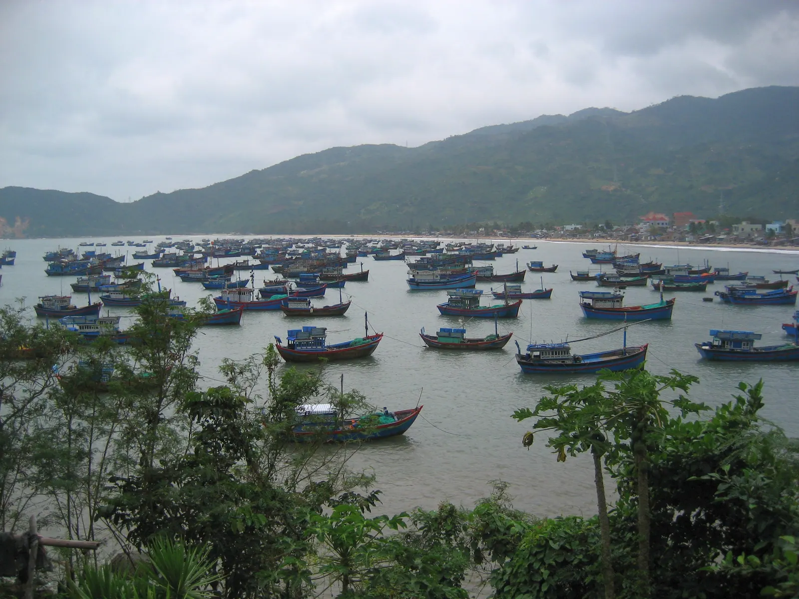
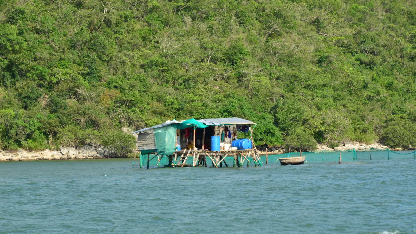
Lobster farmers, mostly. Van Phong off Van Ninh is one of Vietnam’s two great lobster grounds. A count from April 2022 gave about 34,000 cages across the district; an April 2024 report put about 35,000 in the northern bay, roughly 10,000 of them off the former Vạn Thạnh commune on the sandbar and more than 4,200 off Van Hung. Each cage holds 200 to 300 lobsters, raised from juveniles that come from Cam Ranh on a diet of live crab, fish and oysters.
It is a hard business. Farm-gate prices for large lobsters fell from 1.5 to 1.6 million VND a kilo to 1.1 to 1.2 million after Tết in 2022, and an April 2024 heat wave, with dense stocking and low oxygen, killed about a tenth of the stock. The rafts are private workplaces. You can see them from the shore road between Vạn Giã and Van Hung, and the wooden boat to Diep Son runs past them, but you go aboard only by invitation or with a boatman who knows the owner. The raft lunches sold in Cam Ranh and Nha Trang bay do not exist here as far as I have found, and I would not promise one.
Field note: the feed boats go out at first light, and from the shore road at that hour the rafts look like a floating town with its lights still on. It is the best free thing in the north of the province.
What can a visitor actually do here?
| Place | How | What it costs |
|---|
| Diep Son sandbar | Boat from Van Gia pier, 07:00 to midday | 100,000 to 300,000 VND return per person, 2025 to 2026; no island fee documented |
| Mui Doi | Walk 12 to 13 km from Dam Mon and camp, or hire a boat, 30 to 45 minutes | Guide and boat prices not published anywhere I could open |
| Whale Island | Resort boat from Dam Mon, about 15 minutes, guests only | Port fee 20,000 VND; airport transfers 2,100,000 VND from Cam Ranh, 1,500,000 VND from Tuy Hoa |
| Doc Let beach | Road, 46.3 km from Nha Trang | Resort section 50,000 VND adult in 2025; the open sand free |
Diep Son is the one to start with, and Diep Son’s path through the sea is about getting the tide right. Mui Doi is an overnight or a boat day, in walking to Mui Doi. Whale Island is a booking, not a visit; the boat is for guests, turning up at Dam Mon without one leaves you on the quay, and the sister guide’s page on island resorts near Nha Trang has it alongside the others. Doc Let is the family beach on the southern headland, in Doc Let on a weekday, with the salt pans a kilometre behind it in Hon Khoi salt fields at dawn. Dai Lanh beach is on the far side of the sandbar, outside the bay proper, in Dai Lanh beach and the Ca pass.
The calendar is the same for all of them: December to June. From September to November the swell comes through the mouth and the boatmen stop; the typhoon window on this coast runs from early September to about 10 December.
What do I expect to change?
The sandbar. Dam Mon today is a fishing port with a market, a resort boat and a road that ends in sand, and it now has an approved new town of about 25,645 billion VND and a re-planned deepwater port on paper. Tu Bông, where the sandbar road leaves QL1, has a larger one at about 43,000 billion VND. I have no construction schedule to give you beyond those June 2025 approvals, and in Vietnam an approval and a bulldozer can be a decade apart. But I would not assume the empty road along the dunes stays empty, and if you want Mui Doi with nothing at the trailhead, I would go sooner.
The Ninh Hoa shore has already changed, and the shipyard’s cranes are the proof. The bay is big enough that the two ends barely know about each other, which is the thing to understand about it: it is not one place. It is an industrial estate on one side, a lobster town in the middle and a sand desert at the far end, with 80,000 hectares of flat water between.
What I’d do
- One day: Van Gia by eight, the Diep Son boat, the sandbar at low water, back on the shore road past the Van Hung rafts in the late afternoon. That is 60 km each way.
- Two days: add Dam Mon, either the boat to Mui Doi or the overnight walk, and sleep on the sand.
- A resort week: Whale Island, booked ahead, and fly to Tuy Hoa rather than Cam Ranh if you can, because the transfer is 90 minutes instead of three hours.
- Wrong season: look at the bay from the Doc Let end, eat in Ninh Hoa, and leave the boats for December.
For how these islands sit in the wider picture of what is open and what is not, see which Khanh Hoa islands you can actually visit; Van Phong’s are the easy ones.