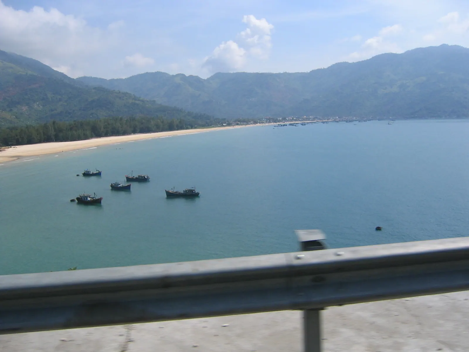
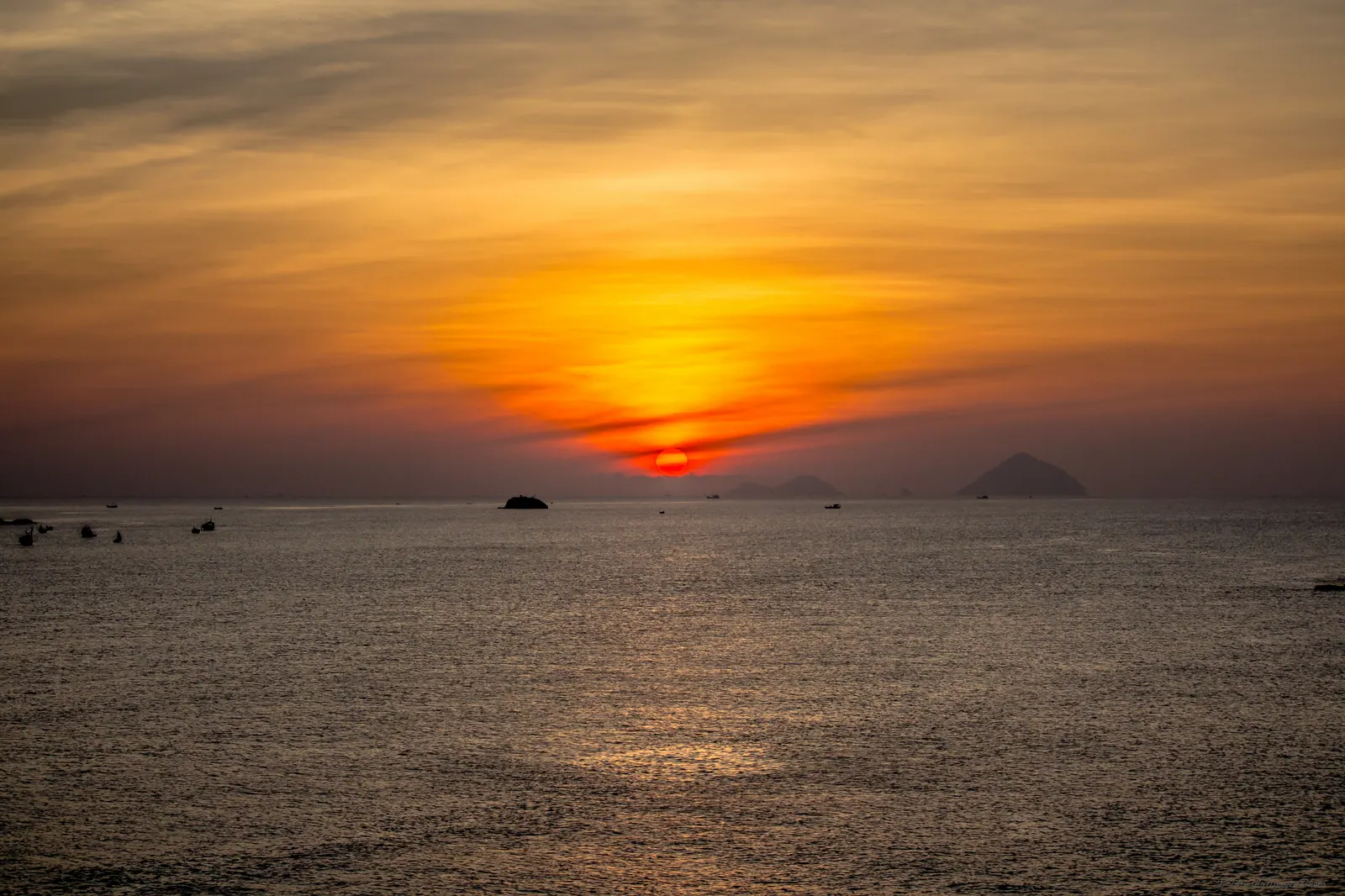
Đại Lãnh is the last beach in Khánh Hòa, 80 km north of Nha Trang and 30 km short of Tuy Hòa: a long crescent of white sand with a fishing village at one end, the railway at its back and the Cả pass climbing away to the north. It is the edge of the province in the plainest sense. The commune of Dai Lanh is the northernmost in Khanh Hoa, and the pass above it has been a border of one kind or another since 1471. Go between March and August, pay the 20,000 VND for the section with showers, and ride the old pass road rather than the tunnel, which a motorbike cannot use anyway.
One correction before anything else. The Dai Lanh lighthouse is not at Dai Lanh. It stands on Mũi Điện, on the far side of the pass, in what was Phú Yên and since June 2025 is Đắk Lắk. People ride up here looking for it, and I was one of them the first time.
What is the beach like?
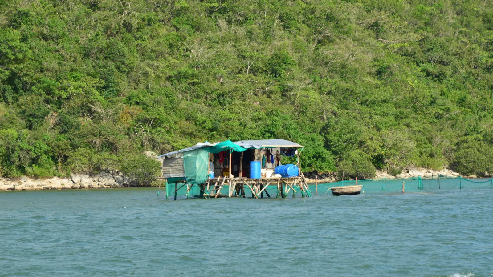
Wedged is the right word. The Cổ Mã pass and its 500 m tunnel close the beach off to the south, the Ca pass closes it to the north, and in between are a few kilometres of sand with QL1 and the railway line running along the back of it. The Dai Lanh halt is there; whether passenger trains still stop I have not been able to verify, so I go by road. The village sits at the southern end, and its boats work Vân Phong Bay behind the Hòn Gốm sandbar: they run out to the fishing hamlets of Khải Lương and Đầm Môn and north round the cape to Vũng Rô.
The sand is steeper than Dốc Lết’s and the water gets deep faster, which makes it a better swim and a worse paddling beach. In the dry months the sea is clear and the wind drops in the mornings. From October to December the north-east monsoon pushes real surf onto it, with rips, and I do not go in then. A 2025 listing gives the managed section’s prices, which are the only ones I have seen published.
| Item | Price (2025) |
|---|
| Entry to the managed section, with freshwater shower | 20,000 VND per person |
| Camping | 50,000 VND per person |
| Tent for five, one night | 400,000 VND |
| Kayak | 50,000 VND an hour |
| The open sand by the village | Nothing |
How Dai Lanh compares with the rest of the coast is in every beach in Khanh Hoa, ranked. The short version is that it is the best beach in the north of the province for an actual swim, and the least convenient.
The old pass road or the tunnel?
If you are on a motorbike the question answers itself, because bikes are not allowed through the tunnel; every time I have arrived at the portal they have been waved onto the old road. If you are in a car, the tunnel is a few minutes and the pass is about 30, and I would still take the pass at least one way.
The Ca pass carries QL1 over the Dai Lanh mountains, 12 km long and 333 m at the top, where the hamlet of Vung Ro sits; the bay of the same name is far below it on the northern side. The old road was nicknamed Đèo Cục Kịch for its 98 bends. From 1471 to 1653 it was the frontier between Đại Việt and Champa, French and Việt Minh forces fought over it in January 1947, and since 12 June 2025, when Phu Yen was merged into Dak Lak, it separates Dai Lanh commune from Hòa Xuân commune in a different province. It is narrow, the bends are blind, and it takes whatever weather comes off the sea. At the Dai Lanh end the water is right beside the tarmac; on the far side Vung Ro bay opens out below.
| The pass road | The Deo Ca tunnel |
|---|
| Length | 12 km over the top | 4.1 km, twin tubes, 9.8 m wide and 6.5 m high; 13.5 km with the Co Ma tunnel and approaches |
| Open since | Always; no source says it is closed or tolled | Full opening 21 August 2017, after a technical opening on 21 June 2016 |
| Cost to build | | 15,603 billion VND in all |
| Time | About 30 minutes | A few minutes; 70 to 90 km/h for cars |
| Toll | None | 90,000 VND per trip for cars under 12 seats from 1 April 2019, up to 240,000 for the largest; 110,000 VND in a September 2024 listing, up to 280,000 in the same one |
| Motorbikes | Yes | No |
The 2024 toll figure comes from a transport company’s price list rather than from the operator, and the 2019 figure is the last official adjustment I could find, so take both as a range and check at the booth. The tunnel runs 24 hours and has toll stations at both portals.
Where is the Dai Lanh lighthouse, then?
On Mui Dien, the Cap Varella of the old French charts, 35 km south-east of Tuy Hoa. It was built in 1890, a 26.5 m tower standing 110 m above the sea with a range of 27 nautical miles, about 40 km; it was restored in 1961, rebuilt in 1995 and listed as a national heritage site in 2008. The name comes from the mountains, not the beach, and it has sent a lot of people to the wrong side of the pass.
It is also the runner-up in a different argument. Mui Dien’s own Wikipedia article calls it the second easternmost point of the mainland, after Mũi Đôi on the tip of the Hon Gom sandbar back in Khanh Hoa. That headland is reached on foot from Dam Mon, and I have written it up in walking to Mui Doi. If you want the lighthouse, it is a separate outing: over or through the pass to Vung Ro, then the coast road east. From Dai Lanh beach you can see the cape; you cannot ride to it in an hour.
Which months?
| Months | What the sources say | My reading |
|---|
| January and February | Dry (the coast is dry January to September) | Clear water, cool mornings, a leftover swell some days |
| March to August | The best season by the 2025 listing | Flat sea by nine, the village boats out, the sand hot by noon |
| September | Still dry by one account, the first rain by another | Watch the forecast; the typhoon window opens |
| October to December | Rain, heaviest in October and November (302 and 332 mm at the Nha Trang station); strong surf and rips | The pass in cloud, the beach empty, no swimming |
The pass matters in this table as much as the beach. In the wet months the old road is in cloud with water across it, and I have turned round at the bottom rather than ride it.
Field note: the first bend above the beach is the one to stop at. The whole crescent is below you, the railway is a line along the back of it, and you can see why the French built a lighthouse on the next cape and not this one.
What I’d do
- Leave Nha Trang at first light in March to August. QL1 all the way, 80 km, about two hours; fuel at Vạn Giã.
- On the sand by mid-morning. Pay the 20,000 VND for the showers if you want a chair and a rinse, or walk to the village end where there is no ticket.
- Swim before the wind, then lunch in the village.
- Ride the pass to the summit at Vung Ro and back down the same road, about 30 minutes in all. Save the lighthouse for another day.
- Be off the pass and heading south well before dark.
Dai Lanh is the far end of one long day north of Nha Trang, and the honest thing to say is that on that day it gets an hour. If you want the beach for itself, camp; the 2025 listing puts camping at 50,000 VND per person, and dawn on a beach with a pass at each end is worth the tent. The bay behind the sandbar, and what is planned for it, is in Van Phong Bay explained.