Khanh Hoa Guide Two years in Nha Trang and every road in the province

Region / Diên Khánh / 10 km from Nha Trang as the crow flies

Dien Khanh

Ten kilometres inland from the beach, the road crosses into rice country and a town with a citadel from 1793 that most people in Nha Trang have never walked around. Dien Khanh is where I go when I want the province without the sea: breakfast, a temple on a hill, a loop through the fields, the river.

It is also the cheapest answer to the question of where to live if you work from home and do not need the beach every day.

Hotels and hard practical facts for this area live on Nha Trang Guide, which I also write.

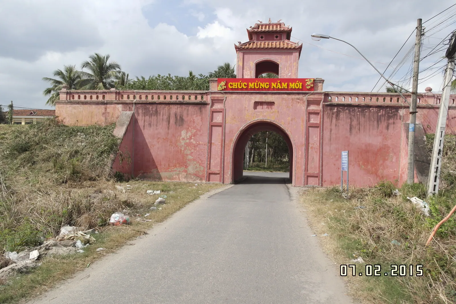
The red-painted east gate of the Dien Khanh citadel with its watchtower pavilion, seen from the approach road.
Photo: Lam Tr Th, CC BY-SA 3.0

5 posts from Dien Khanh

All regions

Following the Cai river upstream from Nha Trang

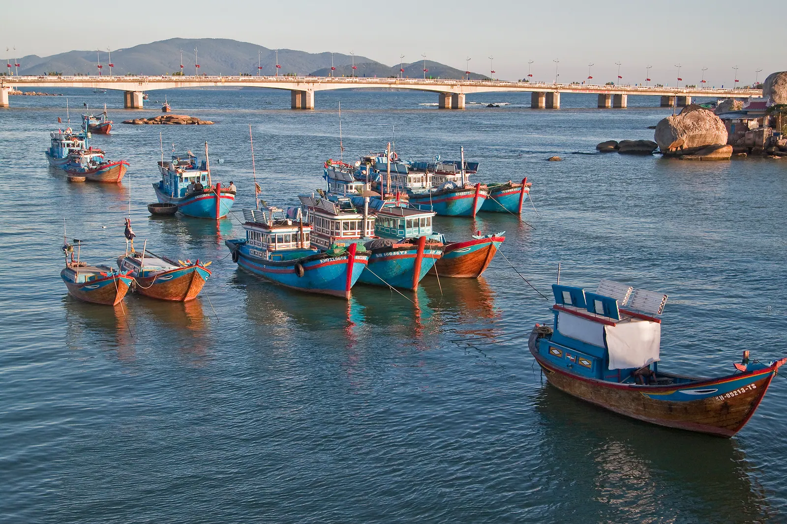
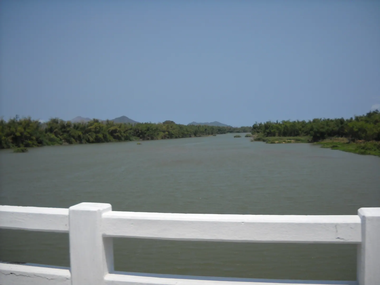
The Cai river runs 84 km from its source on Hon Gia Le at 1,812 m to the sea at Cua Lon in Nha Trang. Followed upstream by motorbike it is the fishing fleet and three bridges in the first stretch, the rice of Dien Khanh in the second and the hills of Khanh Vinh in the third, 30 to 35 km by road. I turn back at Khanh Vinh town, where the road climbs the pass.
6 min

The Dien Khanh countryside loop by motorbike

A loop I ride in about three hours: out on duong 23 thang 10 to the Dien Khanh citadel at 10 km, north through the rice of Dien Dien to the foot of Am Chua, then east along the lanes beside the Cai river and back into the city over the Xom Bong bridge. Green fields in the winter-spring and summer-autumn crops, stubble and smoke between them.

6 min

Am Chua and Thien Y A Na, the goddess of the province

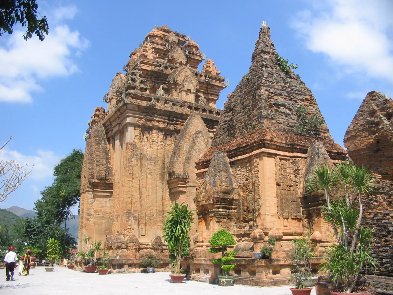
Am Chua is the shrine on Dai An hill north of Dien Khanh town where local tradition, recorded on an 1856 stele at the Po Nagar towers, places the childhood of Thien Y A Na, the goddess of the province. More than a hundred stone steps, no fee I ever found, and a festival on the first three days of the third lunar month: 17 to 19 April in 2026.

6 min

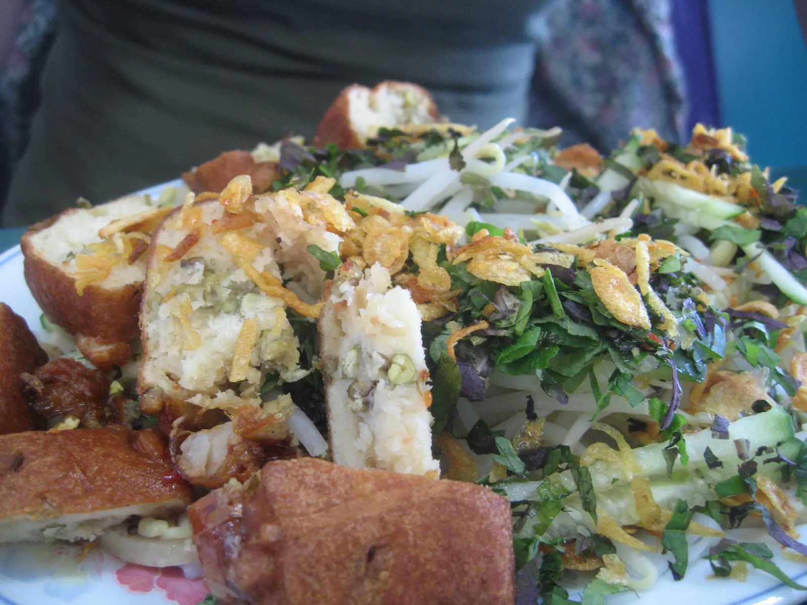
Banh uot in Dien Khanh: a breakfast worth ten kilometres

The Dien Khanh version of banh uot is served one freshly steamed sheet per small plate, with scallion oil, floss and fish sauce, and the empty plates stack up in front of you. The street known for it is on National Route 1A in Phu Khanh Trung, 10 km west of Nha Trang. It is a breakfast dish; go early and eat it before walking the citadel.

6 min

An afternoon at the Dien Khanh citadel

Dien Khanh's citadel is a 1793 Vauban-style fort ten kilometres west of Nha Trang, with four of its six gates standing on the town's streets. In September 2026 the restoration begun in early 2025 was about 75 percent done and due to finish by 31 October 2026, so expect works. I have never found a fee or opening hours.

6 min

Where it is

Dien Khanh on the map of Khanh Hoa Xom Bong bridge (Following the Cai river upstream from Nha Trang) Dien Khanh citadel (Following the Cai river upstream from Nha Trang) Khanh Vinh town (Following the Cai river upstream from Nha Trang) Dien Khanh citadel (The Dien Khanh countryside loop by motorbike) Am Chua (The Dien Khanh countryside loop by motorbike) Xom Bong bridge (The Dien Khanh countryside loop by motorbike) Am Chua (Am Chua and Thien Y A Na, the goddess of the province) Po Nagar Cham towers (Am Chua and Thien Y A Na, the goddess of the province) Dien Khanh citadel (Am Chua and Thien Y A Na, the goddess of the province) Dien Khanh town (Banh uot in Dien Khanh: a breakfast worth ten kilometres) Dien Khanh citadel (An afternoon at the Dien Khanh citadel) 11 km

this region other regions places in these posts

In one line

The old citadel town and the rice country west of the city, ten kilometres and a century away.

Straight-line distance from the Nha Trang beachfront to Dien Khanh: 10 km. Road distances are longer and are quoted in the posts from their sources.