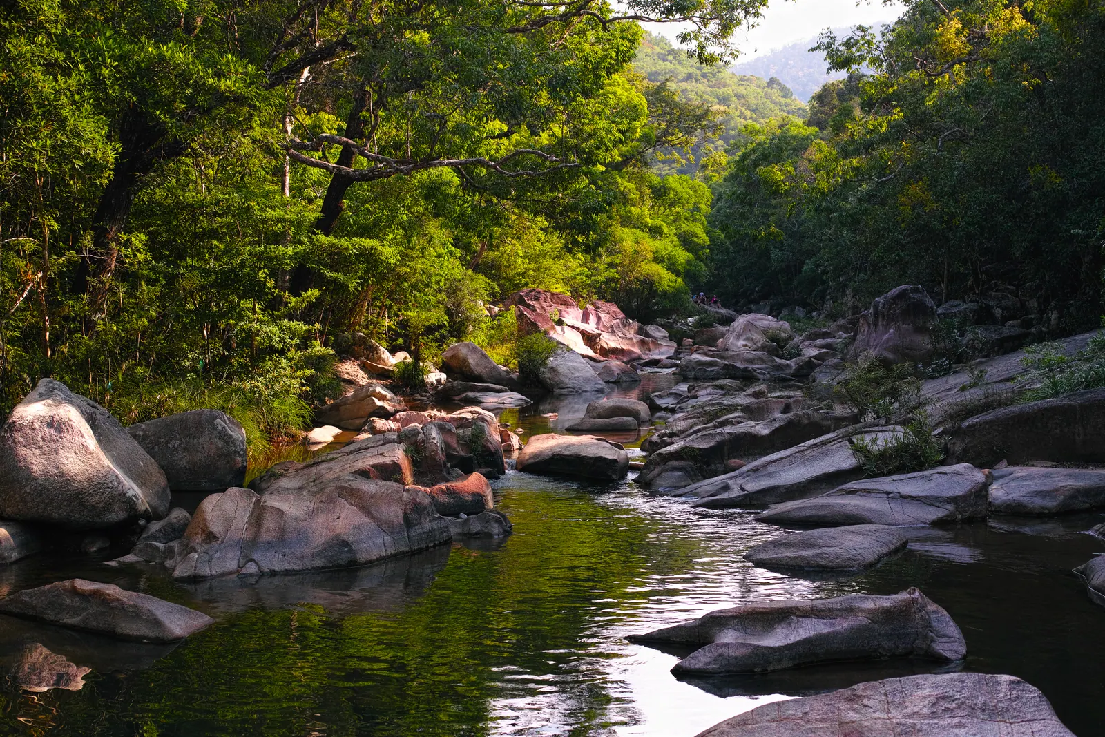
The Cái river is 84 km long, from its source on Hòn Gia Lê at 1,812 m to the sea at Cửa Lớn in Nha Trang, and you can follow it upstream on a motorbike from the Xóm Bóng bridge to Khánh Vĩnh town, 30 to 35 km by road, in a slow half day. Beyond the town the road climbs the Khánh Lê pass and the river turns into a mountain stream you glimpse from above, so that is where I turn back.
The first stretch is the city and the fishing fleet, the second is the rice of Diên Khánh, the third is hills. Nothing on it is a sight in the ticketed sense. It is a road that stays next to water, which is rarer here than it sounds.
What is the Cái river?
Sông Cái Nha Trang, to give it its full name, because there is more than one Sông Cái in Vietnam, drains most of the country between the mountains and the city. Vietnamese Wikipedia has the figures, and they explain the valley better than I can:
| Fact | Figure |
|---|
| Source | Hòn Gia Lê, 1,812 m |
| Length | 84 km |
| Basin | 1,732 km2 |
| Water carried each year | About 1.79 km3, equivalent to 940 mm of runoff |
| Flood season | October to December, about 73 percent of the year’s flow |
| Dry season | January to September, the other 27 percent |
| Tributaries | 15 longer than 10 km, 7 of them main ones |
| Mouth | Cửa Lớn, also called Đại Cù Huân, at Nha Trang |
The upper course has a string of small falls, Đồng Trăng, Ông Hào and Đá Lửa among them, none of which I have reached by road. Lower down, at Xuân Lạc in Vĩnh Ngọc ward, the river splits, the main branch running north-east past Ngọc Hội and dividing again before the channels rejoin at Cồn Dê, which is why the city end of the river looks like several rivers from a bridge and only one from the hill above it.
Where does it start for a visitor?
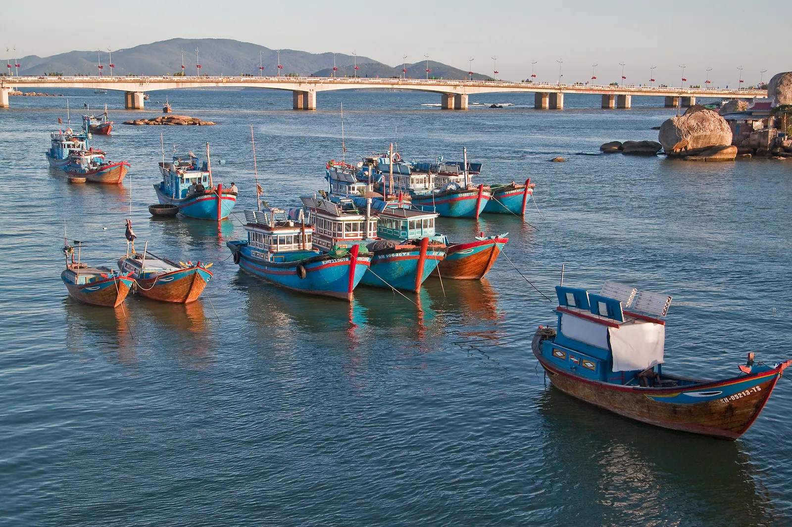
At the Xóm Bóng bridge, the old crossing at the mouth directly below the Po Nagar towers, with the blue and red boats of the Xóm Bóng fishing community moored on both sides. For a long time it was the only crossing between the two halves of Nha Trang; it was narrow and jammed, and in 1999 the People’s Committee decided to build the wider Trần Phú bridge alongside it. The old bridge now works mainly as a viewpoint, and it is the best one in the city: free, open at all hours, best early when the boats come in or late for the light, and unpleasant in the middle of the day when it still carries real traffic.
The boats land every morning, which is why this river appears in Nha Trang at five in the morning. The lanes below the bridge are residential; walk, do not stare, and ask before you photograph anyone up close.
Upstream of the two road bridges is the railway bridge, an iron truss carrying the north-south line over the river, and I have stood at the end of it to watch a train cross more times than is reasonable. Above that the crossings are ordinary concrete road bridges; I count them rather than name them, because I have no source for the names and the locals use the ward instead.
What changes in the first ten kilometres?
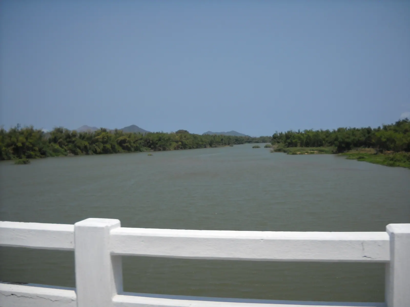
The city thins out through Vĩnh Ngọc, where the river braids around its islands and the houses turn to gardens, and by the time the road reaches Diên Khánh, 10 km west of Nha Trang on National Route 1, the Cái is wide, slow and lined with trees, and the citadel town sits beside it. That is the river I would show someone who had only seen the mouth. The 1793 citadel with its four gates is a few minutes from the bank; an afternoon at the Dien Khanh citadel covers it and the restoration due to finish by 31 October 2026.
The lanes on this stretch are the ones I use for the Dien Khanh countryside loop, which turns north into the rice here and comes back along the water. Going upstream you keep going west, and the choice is between QL27C, the Đà Lạt road, which is the fast way up the valley, and whichever lane stays closest to the river, which is the slow way and the point.
And the next ten, and the ten after?
The second ten kilometres are the plain giving up. The fields stay flat and green or gold on the crop calendar, but the hills on both sides come closer, the orchards start, and the river loses its width and picks up a current you can see. Villages sit on the bank with their backs to the road. I stop at the garden cafés with hammocks over the water, and I have not named one because they change and because you will find your own.
The third ten kilometres are Khánh Vĩnh, 30 km from Nha Trang by Vietnamese Wikipedia’s count and about 35 km by Báo Khánh Hòa’s, the difference being where in the city you start. The river here runs over rock; at Khánh Phú, now part of Khánh Vĩnh commune, there is a bend where people bathe below forested hills and cattle stand in the shallows, and the water is cold in a way it never is at the coast. This is Raglai country, and the Raglai villages of Khanh Vinh is where I have written about the people rather than the water.
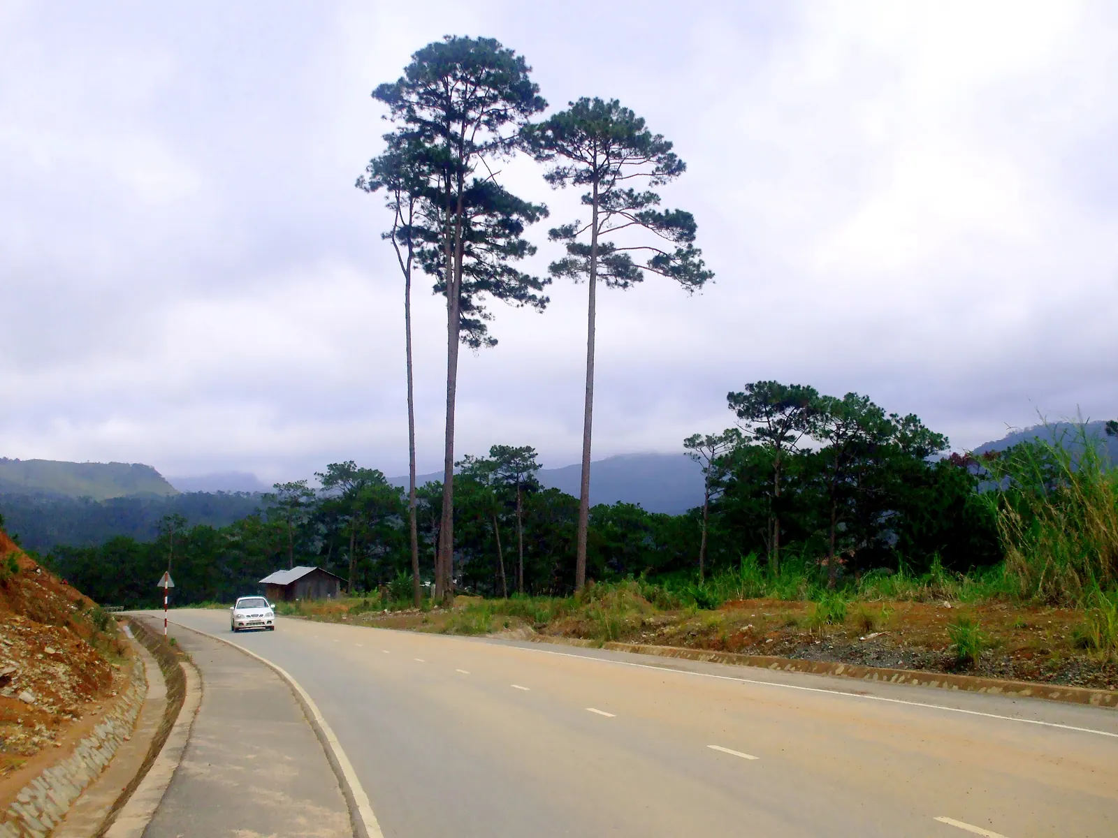
Khánh Vĩnh town is where I turn back. Beyond it QL27C starts to climb, the river drops away into a gorge you see from the road, and the ride becomes riding the Khanh Le pass to Da Lat, which is a different day: 134 to 140 km from Nha Trang and 3.5 to 5 hours, with its own weather and its own closures.
Field note: the river tells you the season before the sky does. Brown and fast at the Diên Khánh bend means the mountains have had rain you have not; clear and low with the sandbars showing means the pass will be dry.
When should you go, and when not?
The dry season, January to September, when the river carries only 27 percent of its year’s water and the sandbars, the wading cattle and the bathing bends exist. From October to December the Cái carries the other 73 percent; the lanes along it flood in a bad week, and the Khánh Lê pass above it is the road that closes: its recent closures, in December 2024 and November 2025, both fell in the flood months, for exactly the reasons the flow figures suggest. I do not ride upstream in those months, and I would not send anyone.
Within the dry season, the morning. The mouth is a working port at dawn and a traffic jam by nine, the fields are photographable until the light goes white, and the Khánh Vĩnh bend is best when the water is still cold and empty.
What I’d do
- Be on the Xóm Bóng bridge at first light for the boats coming in, then coffee on the north bank under the towers.
- West through Vĩnh Ngọc on whichever lane stays nearest the water, to the wide bend at Diên Khánh by 08:00. Walk one citadel gate.
- Keep west on the river lanes, QL27C only when they run out. Coffee in a hammock somewhere between the plain and the hills.
- Khánh Vĩnh town by late morning, 30 to 35 km in; lunch there, then the bend at Khánh Phú for the cold water.
- Back the fast way on QL27C, in the city by mid-afternoon, before the trucks and the heat make the highway a chore.
If you want the version with a summit, do this once, then come back another day for the pass with a full tank and a jacket.