Ride it, but only in daylight and only in the dry months. Quốc lộ 27C over the Khánh Lê pass is the best road in the province and the one with the worst record: a rockfall hit a bus at about 23:00 on 16 November 2025 and killed six people, the pass was shut for over a month, and when it reopened it was for daytime only. Since 13 February 2026 every type of vehicle has been allowed through between 05:00 and 18:00, and on 13 September 2026 the authorities were still asking drivers to stay off it between 18:00 and 05:00 while nine landslide sites are repaired.
I have ridden it in both directions, most recently in the spring of 2026 after the reopening, and I took the bus once, in the 2025 wet season, when the forecast was rain for three days. What follows is the road as it stands, with the dates, and the timing that has worked for me.
What is the road, in numbers?
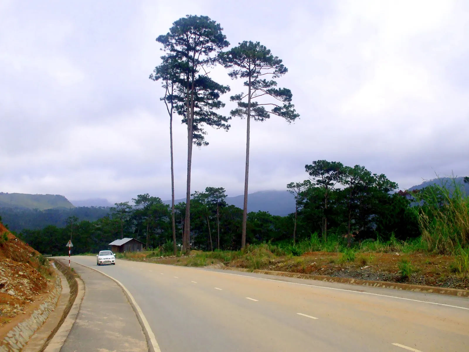
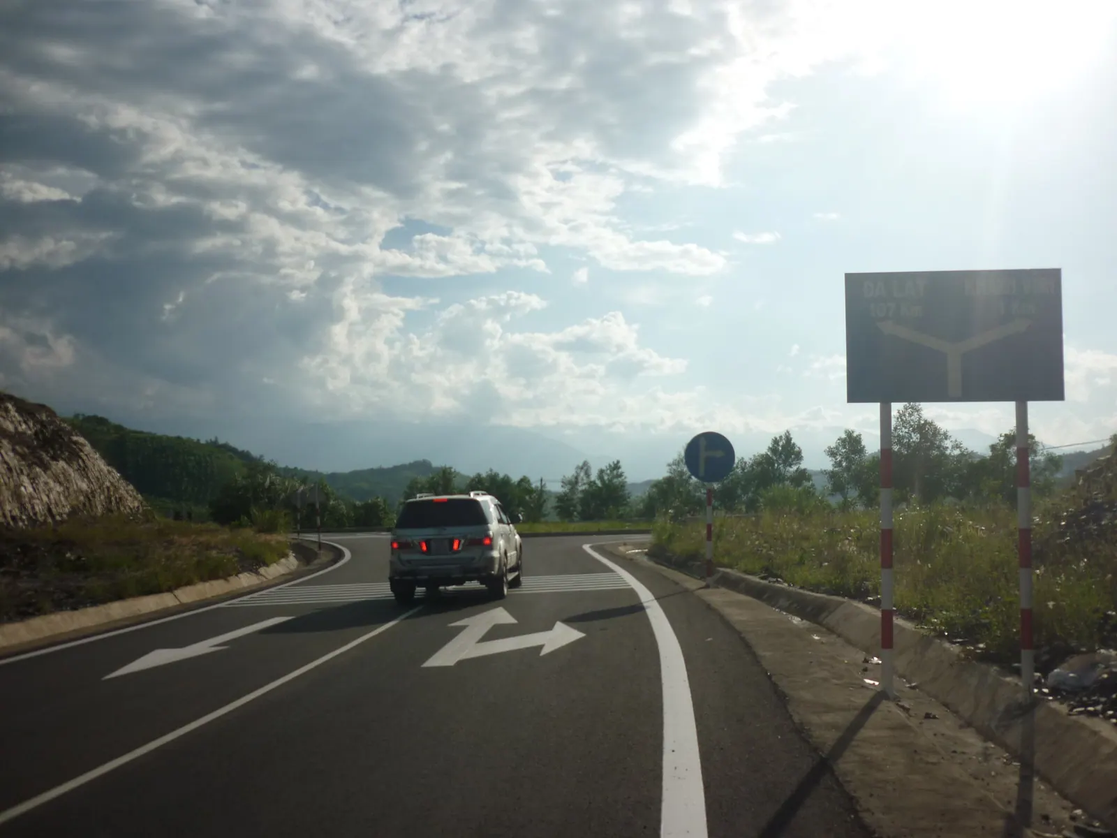
QL27C runs 121 km from Nha Trang to Đà Lạt. The pass itself is 33 km by the usual count, though the sign at the Khánh Vĩnh foot says 29 km, and it climbs to about 1,700 m at the Lâm Đồng border under Hòn Giao, the 2,062 m peak that is the province’s highest point. That is why some maps call it the Hon Giao pass; the bus drivers call it the Omega pass, for its shape. Construction began on 20 April 2004, the first phase opened on 24 July 2007, and it became a national highway in June 2015.
Door to door, Nha Trang to Da Lat is 134 to 140 km depending on where you start, and 3.5 to 5 hours by bus or car. On a small motorbike I plan for four hours of riding plus stops and have never done it in less. Khanh Vinh town, 30 to 35 km out of Nha Trang, is the last fuel and food stop before the climb.
| Figure | As of |
|---|
| Length of QL27C | 121 km | 2026 |
| Pass road | 33 km (the sign says 29 km) | 2026 |
| Summit | about 1,700 m | 2026 |
| Nha Trang to Da Lat | 134 to 140 km, 3.5 to 5 hours | 2026 |
| Phuong Trang bus, standard seat | 250,000 to 350,000 VND | 2026 |
What happened in November 2025?
At about 23:00 on 16 November 2025 a rockslide at km 45, in Nam Khánh Vĩnh commune, hit a passenger bus carrying 32 people. Six died and 18 were injured. The whole pass was closed from 08:00 the next morning; the surveys found about 100 landslide points, more than 50 of them blocking the carriageway, and the road stayed fully blocked for over a month. It was not the first time. On 15 December 2024 more than 50,000 m3 of rock and earth had closed it for about a week, and the serious collapses of 2024 and 2025 were at the same hairpin.
The reopening came in steps. In December 2025 vehicles under 5 tonnes and up to 16 seats were let through between 06:00 and 17:00. From 13 February 2026 all vehicles were allowed between 05:00 and 18:00, with night traffic still banned because of the remaining slide points, rain and fog. A repair of nine sites, budgeted at nearly 125 billion VND, began in June 2026 and was 40 to 50 percent done on 13 September 2026, with a deadline in early October. The road stays open while the work goes on.
| Date | What changed |
|---|
| 15 December 2024 | Slide of over 50,000 m3; closed about a week; one lane reopened on 22 December with a 17:00 to 07:00 night ban |
| 16 November 2025 | Rockfall at km 45 hits a bus at about 23:00; 6 dead, 18 injured |
| 17 November 2025 | Whole pass closed from 08:00; about 100 slide points |
| December 2025 | Reopened to vehicles under 5 tonnes and 16 seats, 06:00 to 17:00 |
| 13 February 2026 | All vehicles, 05:00 to 18:00; night crossing still banned |
| June to October 2026 | Nine sites under repair; night crossing still discouraged on 13 September 2026 |
When does the fog come?
Nobody has published a month-by-month climatology for the pass, so this is inference plus my own rides. All three closures fell in November and December, and the Sông Cái basin below the pass takes 73 percent of its annual flow between October and December. That is the season to take the bus or not go at all; October and November in Nha Trang are wet enough at sea level, and the pass is worse. The Nha Trang guide’s research puts it the way every driver I have asked does: the pass is often in cloud by afternoon, and the morning crossing is the one with the views.
My rule is to be on the pass before 10:00 going up and to leave Da Lat by noon coming down. Twice I have ridden into cloud so thick above K’Long K’Lanh that I followed the white line at walking pace. It is cold up there even when the coast is hot; the Cam Ranh Guide page on QL27C and the Khanh Le pass says carry a layer, and it is right. I carry a rain jacket, gloves and a second shirt, and I have used all three in April.
Should you ride it or take the bus?
Ride it if you are used to mountain roads, the forecast is dry, and you can leave Nha Trang at first light. If you have not yet ridden outside the city, read a year on a motorbike in Nha Trang first; this is not the road to learn on. The climb is well surfaced, the hairpins are wide, and the traffic is mostly buses and produce trucks that know the road. The rockfall sites are obvious: fresh concrete, netting, a cliff of raw earth.
Take the bus if it is October to December, if you have never ridden a pass, or if you want to arrive rested. Phương Trang runs the route from Nha Trang with departures between 07:15 and 17:00 and a published standard-seat fare of 250,000 to 350,000 VND in 2026, on a four-hour timetable that is honest. The Nha Trang Guide page on bus stations and sleeper buses has the stations and the operators. For the two months the pass was restricted, a van of 16 seats or fewer was the only public way over, which is worth remembering the next time it closes.
An expressway of about 80 km is planned, with construction meant to start in 2026, and would cut the drive to roughly two hours. Until it exists the pass is the road, and the pass is the inland leg of my seven-day motorbike loop of the province. If you want the mountain without committing to Da Lat, Hon Ba is the shorter, colder day.
Field note: the last petrol before the climb is in Khanh Vinh town. Fill up there even if the gauge says half. The pass is 33 km of climbing with nothing on it that I would rely on, and the first town on the far side is a long way down.
What I’d do
- Check the current order the night before. The rules changed four times between December 2024 and February 2026 and will change again when the repair finishes in October 2026.
- Leave Nha Trang at 06:00. QL27C is the road west through Diên Khánh; you are in Khanh Vinh town by 07:00 for fuel and breakfast.
- Be on the pass by 08:00 and over the top before the cloud. Stop at the rest stops on the Lam Dong side rather than on the hairpins.
- Stay two nights in Da Lat; it sits at about 1,500 m and nights can drop to around 10 degrees, so the jacket comes in twice.
- Come back the same way, leaving by noon and never later than 15:00. If it is raining on the plateau, wait a day, or take the bus and fetch the bike later.