Khanh Hoa Guide Two years in Nha Trang and every road in the province

Region / Khánh Vĩnh / 32 km from Nha Trang as the crow flies

Khanh Vinh

West of the rice fields the mountains start, and Khanh Vinh is the road through them: the pass to Da Lat that closes after every big storm, a waterfall park, a peak where the temperature drops to something you need a jacket for, and villages of the Raglai people who were on this land before anyone else.

This is the region where I most often turned back. The posts say when and why.

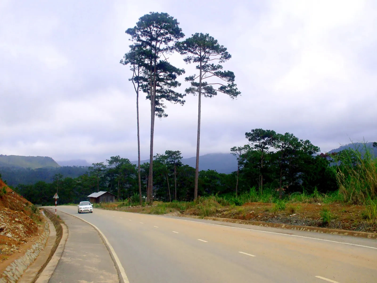
The Nha Trang to Da Lat road (route 27C) climbing through pine-dotted hills in Son Thai commune, on the approach to the Khanh Le pass.
Photo: Bùi Thụy Đào Nguyên, CC BY-SA 3.0

4 posts from Khanh Vinh

All regions

The Raglai of Khanh Vinh: what is polite, what is for sale

The Raglai were 49 percent of Khanh Vinh's people at the 2009 census and 73.4 percent of Khanh Son's in 2024. Khanh Vinh has no community tourism village yet, only plans; what you can visit is the Yang Bay stage show, the pomelo orchards and, over the mountain in Khanh Son, the Hon Dung longhouse village launched in June 2025. My etiquette rules are my own.
6 min

Hon Ba: the mountain where Khanh Hoa gets cold

Hon Ba is the 1,578 m mountain south-west of Nha Trang where Alexandre Yersin built a research station in 1915 and where Tuoi Tre measured 17 to 20 degrees in June 2024. Since a pilot scheme at Tet 2024 the summit is reached with an organised tour, not independently, and I found no 2025 or 2026 statement on whether the 37 km summit road is open.

6 min

Yang Bay: an honest take on the waterfall park

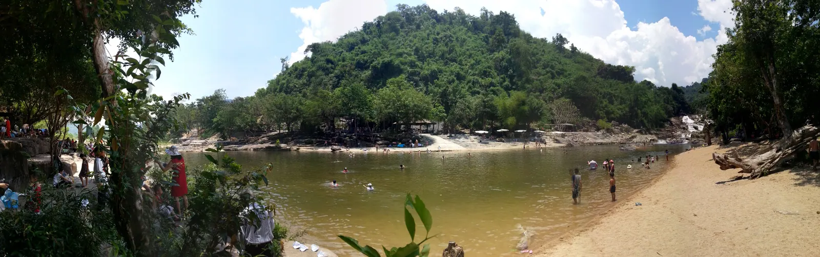
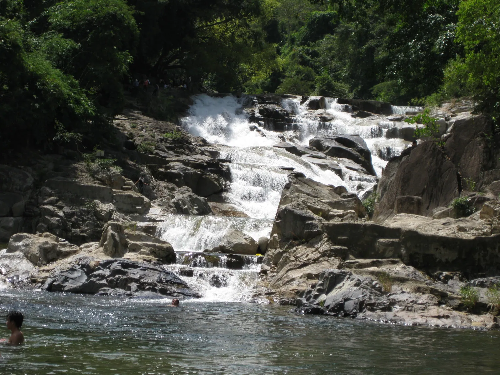
Yang Bay is worth the 200,000 VND gate price (2026) if you are taking children or parents and want a full, easy day out of the city. It is the wrong choice if the waterfall is the point: the fall itself is modest, and the park around it, with its hot spring, crocodile farm and animal races, is the real product.

5 min

Riding the Khanh Le pass to Da Lat: road, fog and timing

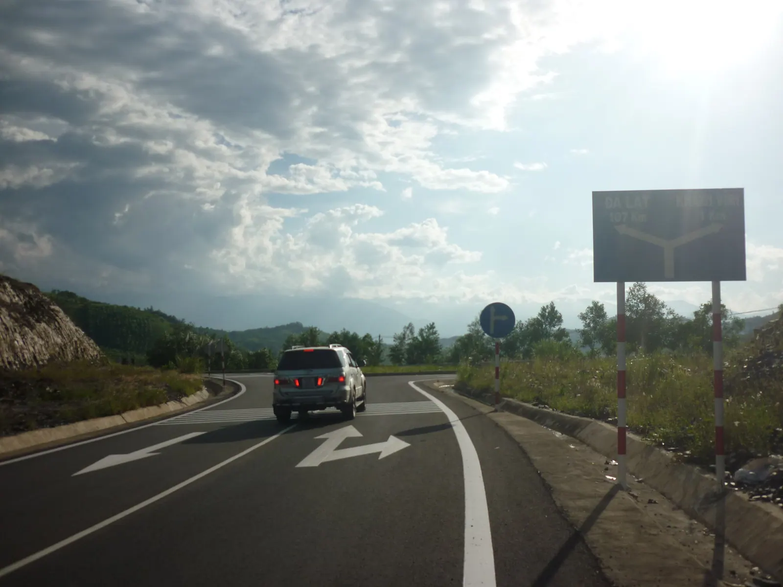
Yes, ride it, but by day and in the dry months. The pass was shut for over a month after a rockfall killed six bus passengers on 16 November 2025, reopened to all vehicles from 13 February 2026 between 05:00 and 18:00, and in September 2026 the authorities still advised staying off it at night.

6 min

Where it is

Khanh Vinh on the map of Khanh Hoa Khanh Vinh town (The Raglai of Khanh Vinh: what is polite, what is for sale) Yang Bay waterfall (The Raglai of Khanh Vinh: what is polite, what is for sale) Hon Ba summit (Hon Ba: the mountain where Khanh Hoa gets cold) Yang Bay waterfall (Yang Bay: an honest take on the waterfall park) Khanh Le pass (Riding the Khanh Le pass to Da Lat: road, fog and timing) Khanh Vinh town (Riding the Khanh Le pass to Da Lat: road, fog and timing) Nha Trang Cam Ranh Dien Khanh Ninh Hoa Van Ninh Khanh Vinh Khanh Son Ninh Thuan 32 km 20 km

this region other regions places in these posts

In one line

The mountain road to Da Lat, the waterfalls, Hon Ba where it gets cold, the Raglai villages.

Straight-line distance from the Nha Trang beachfront to Khanh Vinh: 32 km. Road distances are longer and are quoted in the posts from their sources.