Khanh Hoa Guide Two years in Nha Trang and every road in the province

Topic

Mountains and waterfalls

The cold side of a beach province: passes, plateaus, pools and the hikes to them.

Mui Dinh: dunes, the lighthouse walk and the jeep question

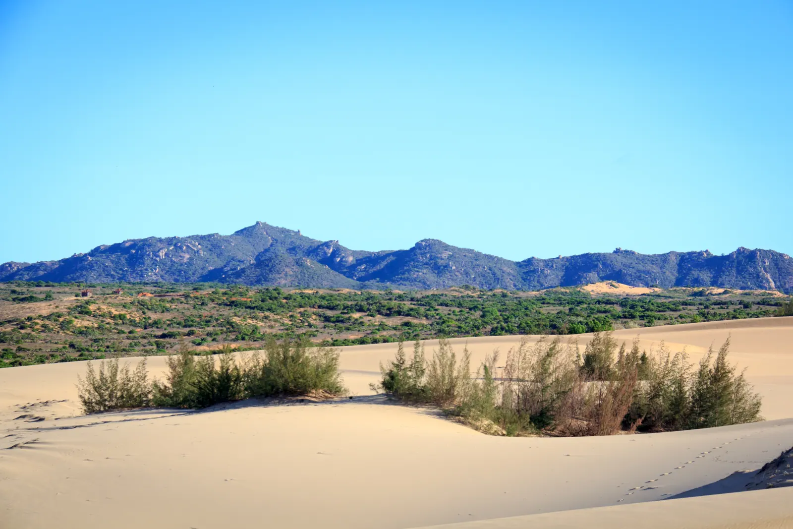
Walk it. The 1904 lighthouse on its 178 m hill is about 1.5 km from the car park across sand and rock, and the lift to the top by jeep, 20,000 to 30,000 VND a trip on a 2026 travel-agency page, is a different product from the 700,000 VND dune tour. There is no entrance ticket, only parking. Go at first light; there is no shade and no water on the walk.
6 min

Following the Cai river upstream from Nha Trang

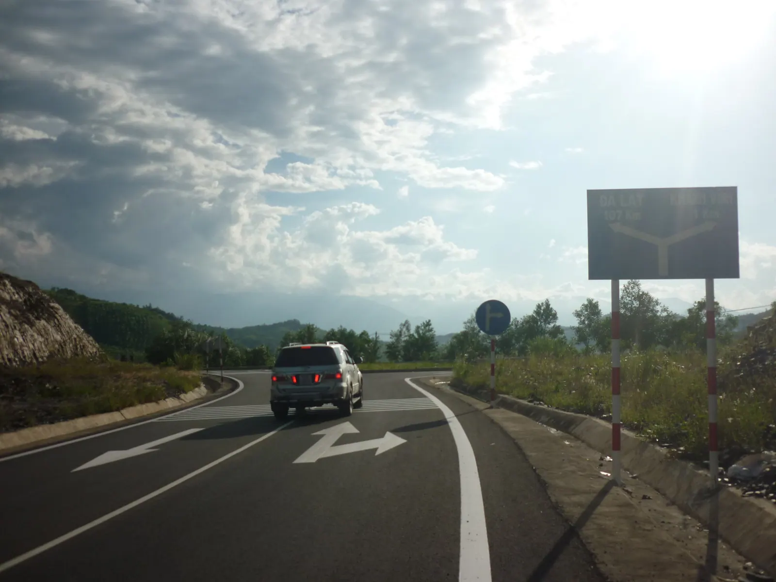
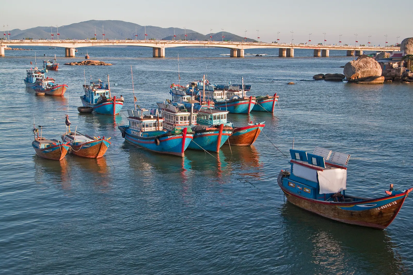
The Cai river runs 84 km from its source on Hon Gia Le at 1,812 m to the sea at Cua Lon in Nha Trang. Followed upstream by motorbike it is the fishing fleet and three bridges in the first stretch, the rice of Dien Khanh in the second and the hills of Khanh Vinh in the third, 30 to 35 km by road. I turn back at Khanh Vinh town, where the road climbs the pass.

6 min

Hon Ba: the mountain where Khanh Hoa gets cold

Hon Ba is the 1,578 m mountain south-west of Nha Trang where Alexandre Yersin built a research station in 1915 and where Tuoi Tre measured 17 to 20 degrees in June 2024. Since a pilot scheme at Tet 2024 the summit is reached with an organised tour, not independently, and I found no 2025 or 2026 statement on whether the 37 km summit road is open.

6 min

Ta Gu waterfall: the hike, the guide and the leeches

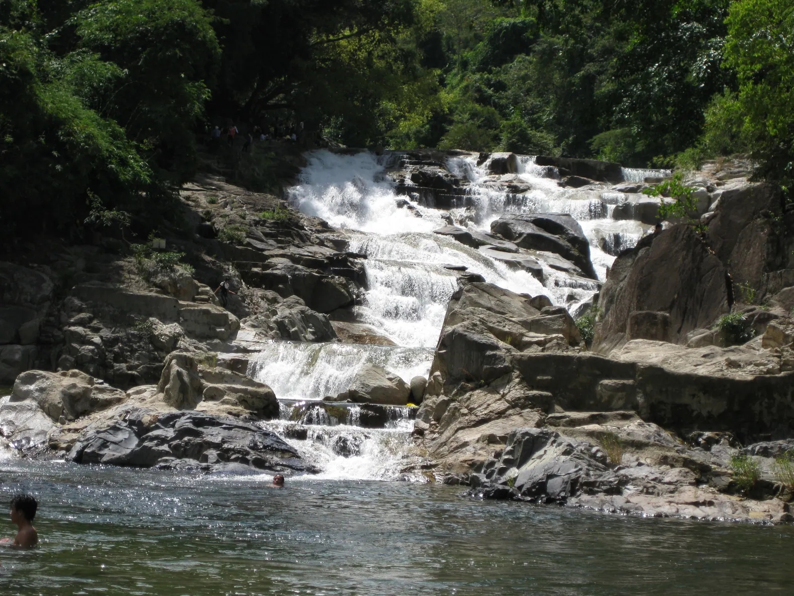
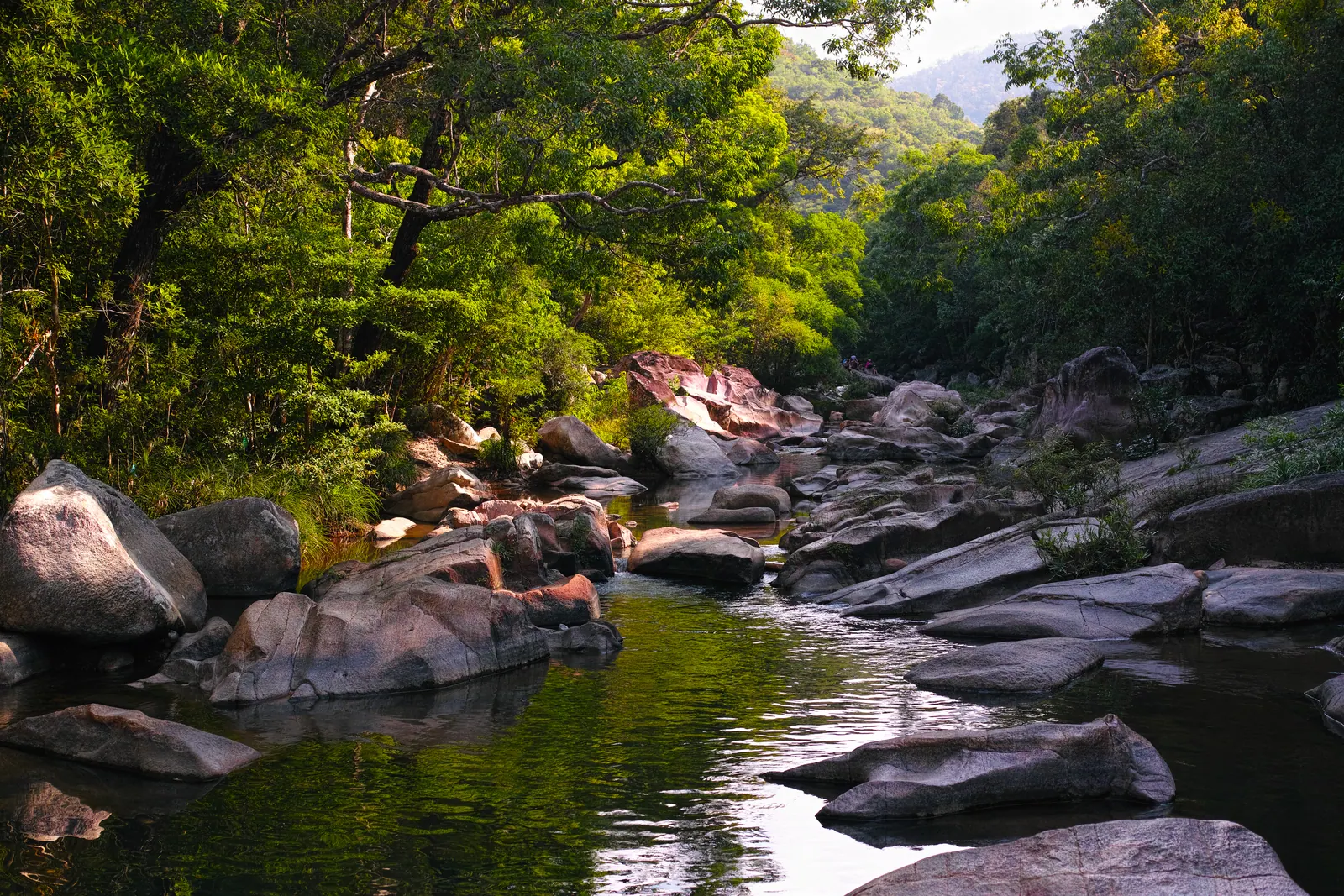
Ta Gu is a 40 m single-drop waterfall in Son Hiep, Khanh Son, 10 to 15 km from To Hap and about 100 km from Nha Trang. The walk from the road end is a couple of hundred metres over stream crossings and steep wet rock; no source I found requires a guide for the falls, entry is free with a small cleaning fee quoted, and in the wet months the leeches find you.

5 min

Yang Bay: an honest take on the waterfall park

Yang Bay is worth the 200,000 VND gate price (2026) if you are taking children or parents and want a full, easy day out of the city. It is the wrong choice if the waterfall is the point: the fall itself is modest, and the park around it, with its hot spring, crocodile farm and animal races, is the real product.

5 min

Riding the Khanh Le pass to Da Lat: road, fog and timing

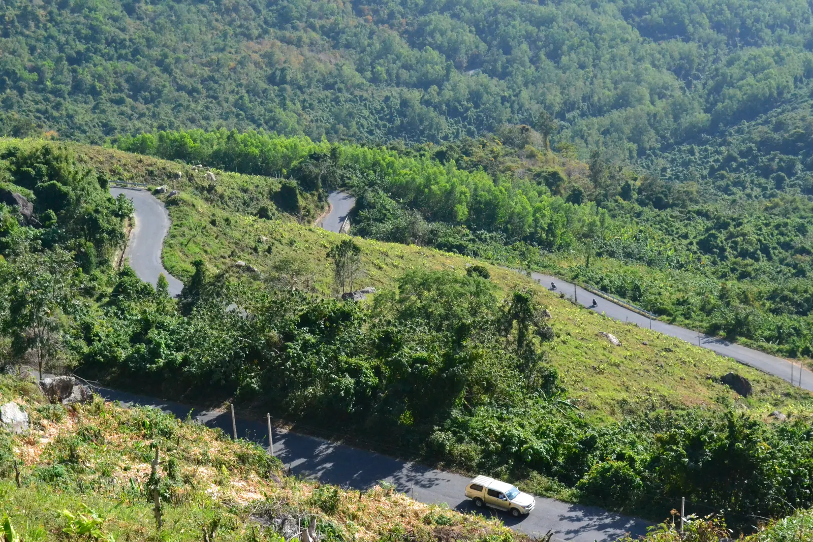
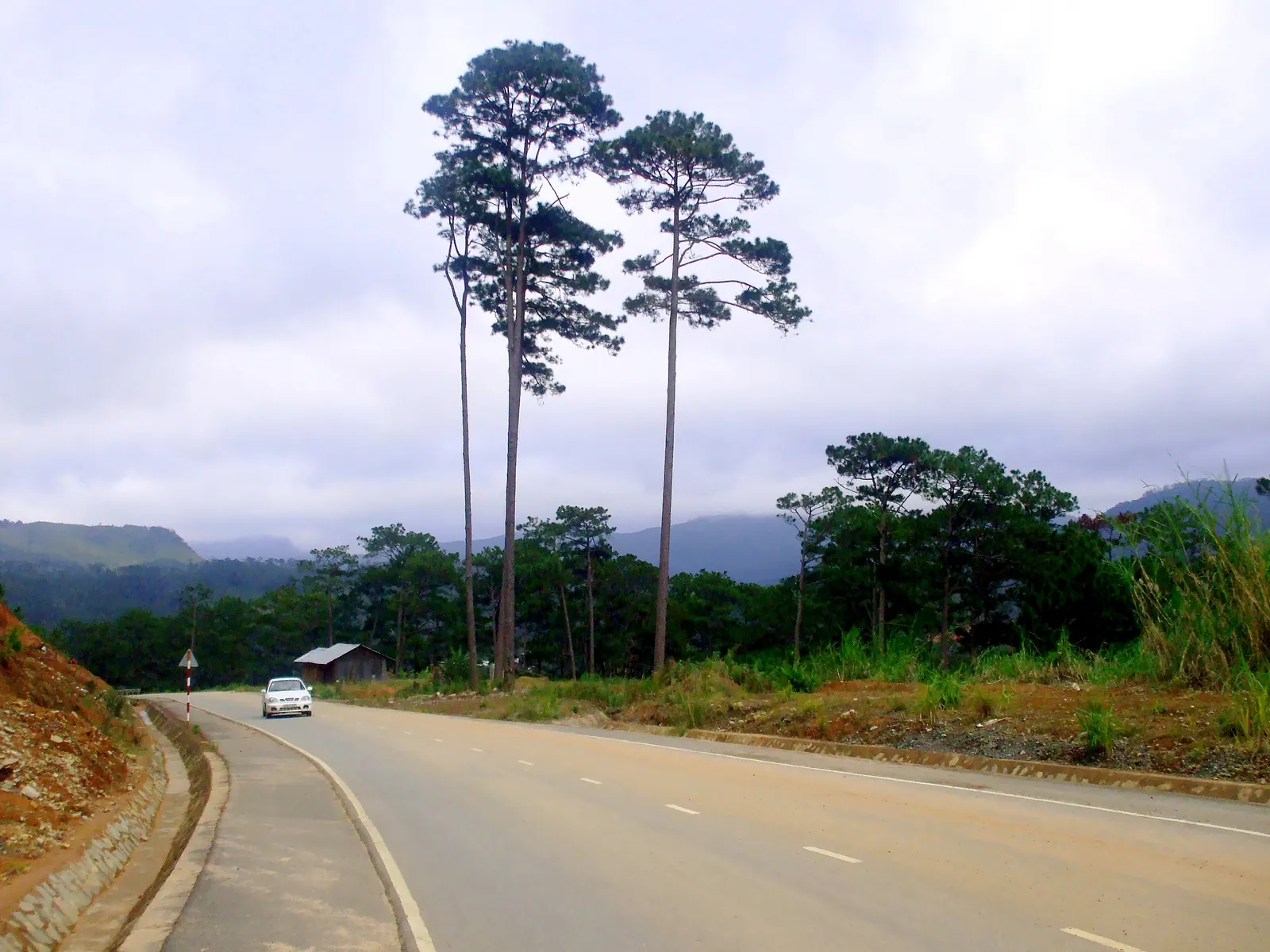
Yes, ride it, but by day and in the dry months. The pass was shut for over a month after a rockfall killed six bus passengers on 16 November 2025, reopened to all vehicles from 13 February 2026 between 05:00 and 18:00, and in September 2026 the authorities still advised staying off it at night.

6 min

Walking to Mui Doi, mainland Vietnam's easternmost point

Mui Doi, at the tip of the Hon Gom sandbar in Dai Lanh commune, is the easternmost point of mainland Vietnam; Mui Dien across the water in the former Phu Yen is second. You reach it on foot from Dam Mon, 12 to 13 km each way over dunes, forest and boulders with a night at Bai Rang beach, or by hired boat in 30 to 45 minutes. January to June is the season.

7 min