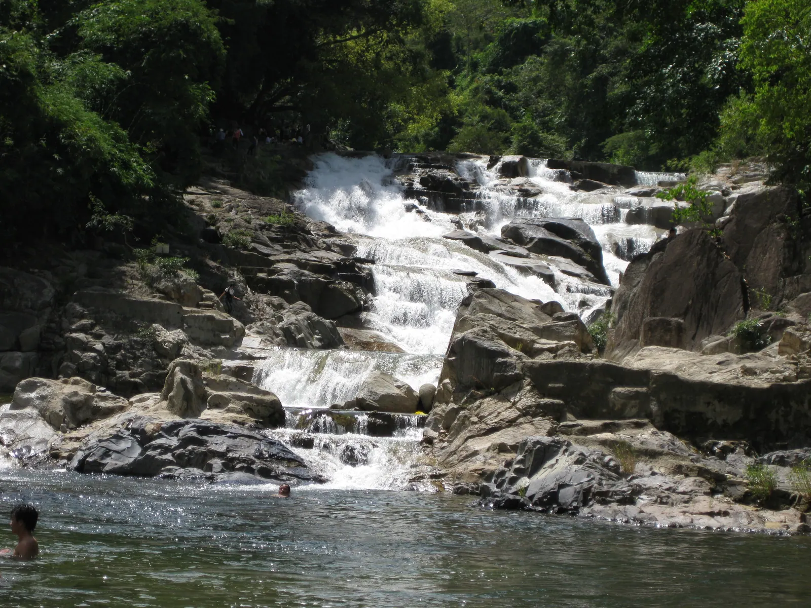
Tà Gụ is the tallest waterfall in the province I have found a figure for, 40 m in a single white ribbon by Tuoi Tre’s count, and it is not a long hike: from the end of the road it is a couple of hundred metres of forest path, small stream crossings and steep rock to the pool. No rule I could find requires a guide for the falls themselves, entry is free, and the only charge I have seen quoted is a cleaning fee of about 10,000 to 20,000 VND per person. The hard parts are getting to Khánh Sơn at all, the footing when the rock is wet and, from June to September, the leeches.
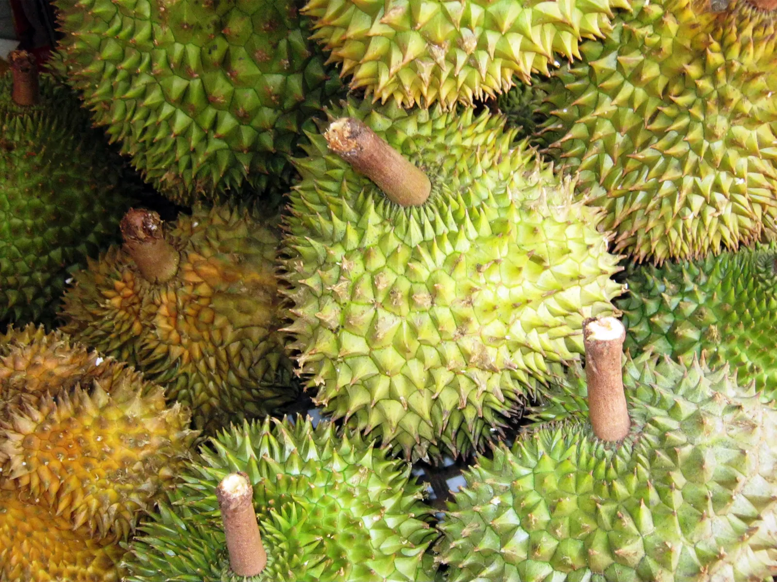
I have been twice, once in August with the durian and once in the dry season, and the second was the better visit for the water and the first for the sound.
Where is it and how far?
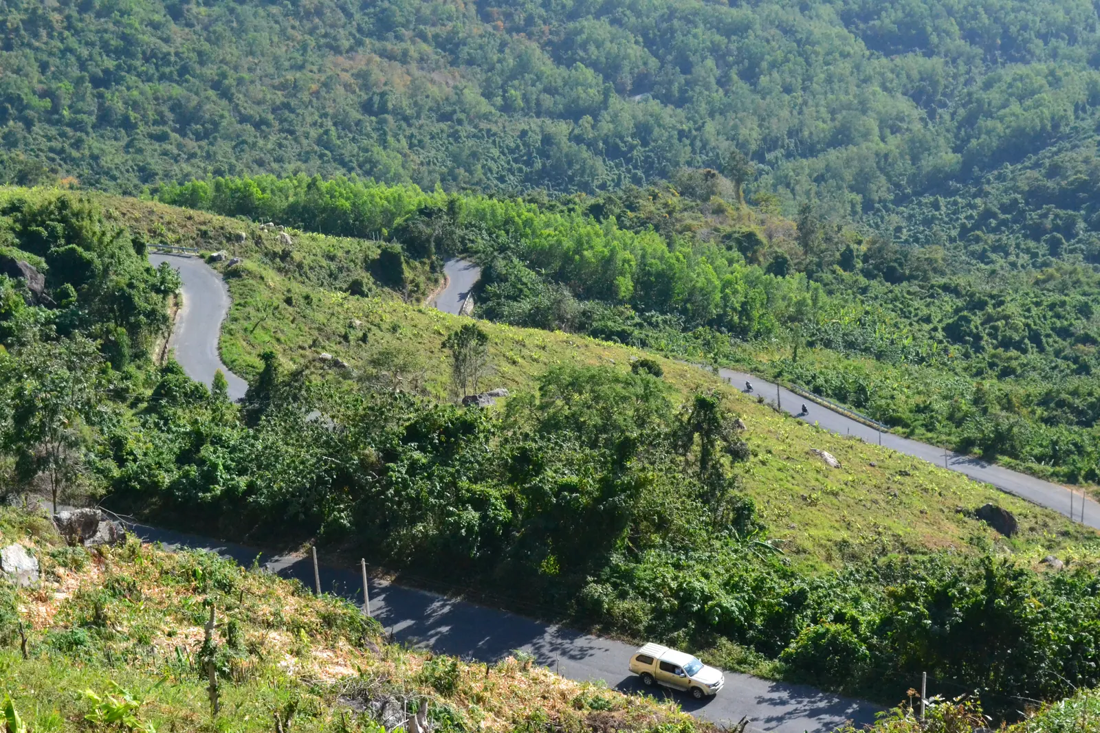
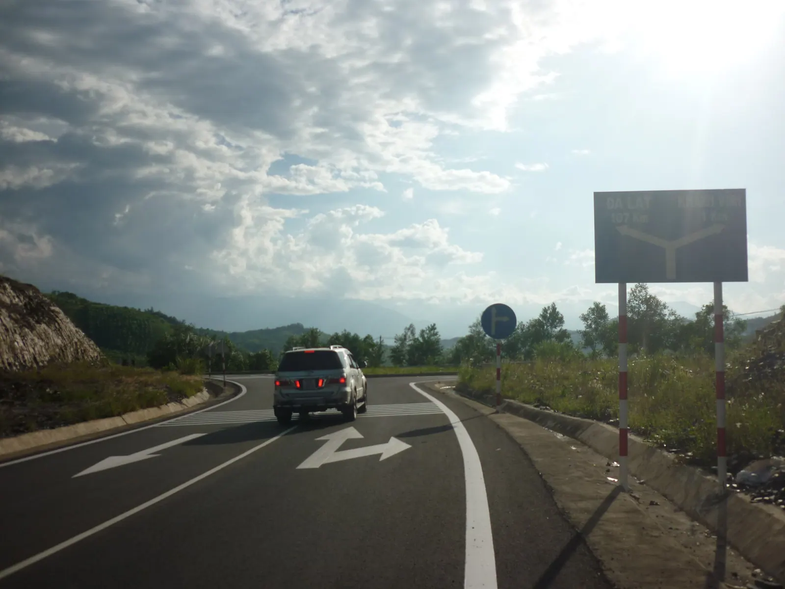
The falls are in Sơn Hiệp, now part of Khanh Son commune, about 10 km from Tô Hạp by one source and 15 km by another, half an hour by road either way, and roughly 100 km from Nha Trang by the only road in: National Route 1 to Ba Ngòi in Cam Ranh, then Tỉnh lộ 9 over the 600 m Khanh Son pass. The water comes off the Hòn Bà massif from above 1,300 m according to one trekking page, and the falls themselves sit at about 1,100 m in the profile of the operator that walks past them. Its older name is Thác Ngà, the ivory fall, for the colour of the drop.
| Figure | Source |
|---|
| Height | 40 m, a single drop | Tuoi Tre, August 2024 |
| From To Hap | 10 to 15 km, about 30 minutes | Bao Gia Lai; newlifetravel.vn; Tuoi Tre |
| From Nha Trang | about 100 km | newlifetravel.vn |
| Approach from the road end | over 200 m of path, stream crossings, steep rock | newlifetravel.vn |
| Entry | free; cleaning fee about 10,000 to 20,000 VND quoted, undated | newlifetravel.vn |
| Guided trek past the falls | 38 km, 3 days, 3,500,000 VND per person | Nobitrip, September 2026 |
Do you need a guide?
For the falls, no, by any rule I could find, and the path is obvious once you are on it. For anything beyond them, yes, and not because of a rule. The province listed Ta Gu in August 2026 as one of the three working tourism sites of the former district, alongside Hòn Dung village and the To Hap centre, which makes it a place the province counts and maintains, not a wilderness trailhead. If someone at the road end offers to walk you in, I would say yes the first time, in the wet months especially; I never found a published fee for that, so agree it before you set off.
The serious option is the guided trek. Nobitrip’s Con đường mây, the cloud road, is a 38 km, three-day, two-night walk from Ta Gu over the Hon Ba range to Yang Bay in Khanh Vinh, in stages of 12 km, 12 km and 14 km, climbing from about 400 m to 1,200 m on the first day. The operator grades it level 5 on its own scale, takes at most 12 walkers with one guide per four, and provides hammock camps, forest-cooked meals and transport from Nha Trang, for 3,500,000 VND per person when I checked in September 2026. I have not done it. It runs weekly, year-round, which tells you the operator does not fear the rain the way I do.
When should you go?
June to September for volume, when the ribbon is thickest and loudest and the pool is a place to stand back from; the dry months for clear water, dry rock and a swim. The two are not compatible, and the sources say so plainly: the rainy months are when the rocks are most slippery and the water rises fast. The one sourced timing rule for day-trippers from Nha Trang is to set out by 05:00 and leave the falls by 16:00, which is really a rule about the pass road in daylight rather than about the falls.
My own rule after two visits is to go in the dry season unless you are already in Khanh Son for the durian, in which case go in August and accept wet feet. In my comparison of the province’s waterfalls this is the biggest drop and the hardest to reach; Ba Ho is the one with the same season problem an hour from the city.
What about the leeches?
They are there in the wet months and they are not a reason to stay home. On my August visit I picked up three on the walk in, all below the knee, all from brushing the wet undergrowth on the stream banks. Long trousers tucked into socks, a check at the pool, and salt or a lighter if you carry one; the bites bleed more than they hurt. In the dry season I saw none. No source mentions them, so treat this as one visitor’s count, not a rule.
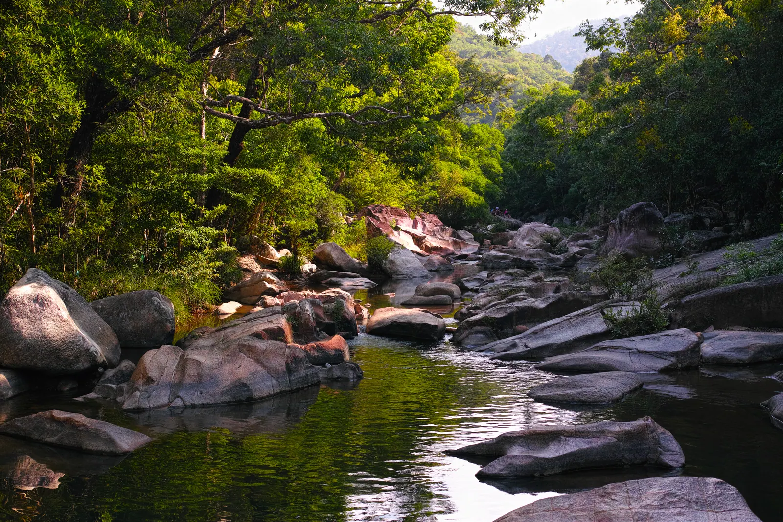
The real hazards are the ones the sources do name: slippery rock, stream crossings, and water that rises fast when it rains upstream. There are no shops at the road end; bring water and food. Wear shoes that can get wet and still grip; I did the first visit in sandals and would not again.
Field note: the sound arrives before the fall does. On the last bend of the path you hear it through the trees, and then the whole 40 m is in front of you at once. Stop there for a minute before the scramble; it is the best view.
What I’d do
- Sleep in To Hap the night before rather than day-tripping from Nha Trang; the 05:00 start the sources advise is a hard morning on a motorbike.
- Leave To Hap by 07:00 and be at the road end by 07:30, before the heat and before any groups.
- Take a local guide the first time if one offers, and agree the fee before walking. For the falls alone it is a short walk; the guide is for the crossings.
- Long trousers, wet-capable shoes, water, food, a dry bag for the phone. In the wet months, check for leeches at the pool and again at the bike.
- Be back on the bike by early afternoon and over the pass before the light goes. If it has rained hard, do not go down to the pool at all; look from the path and come back in the dry season.