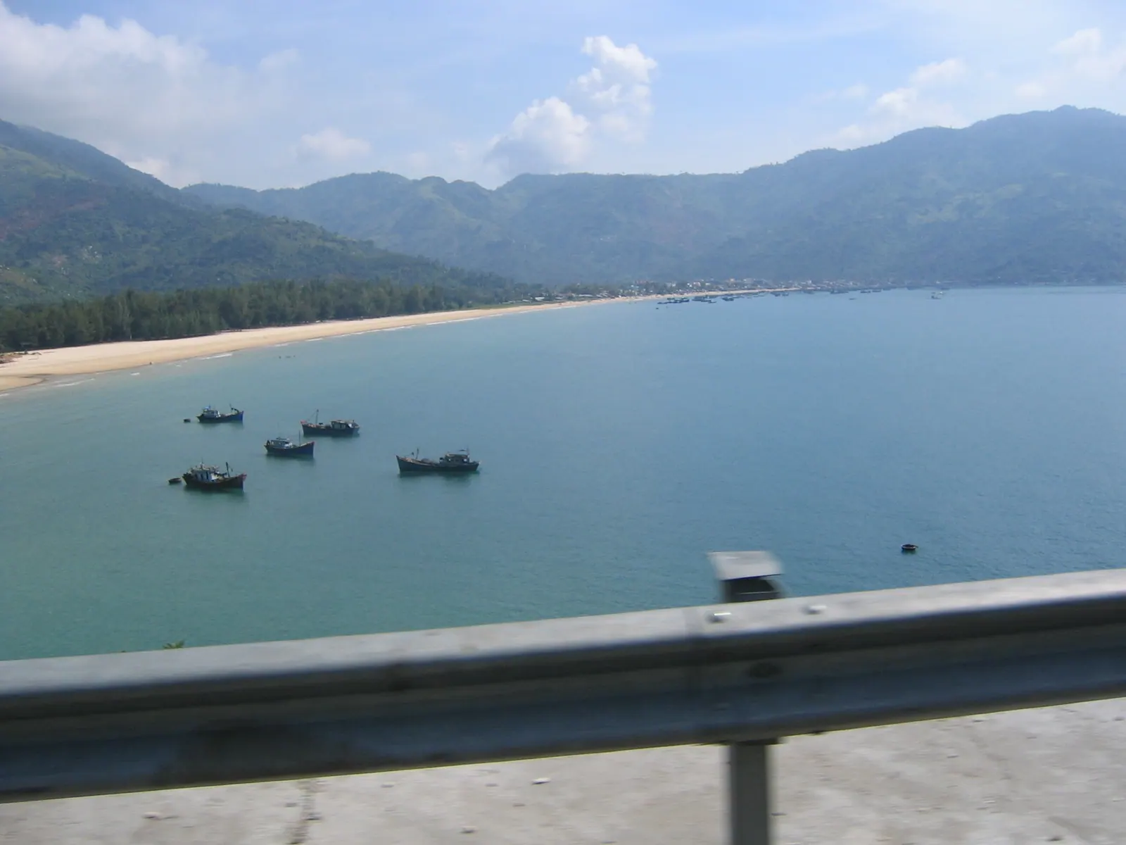
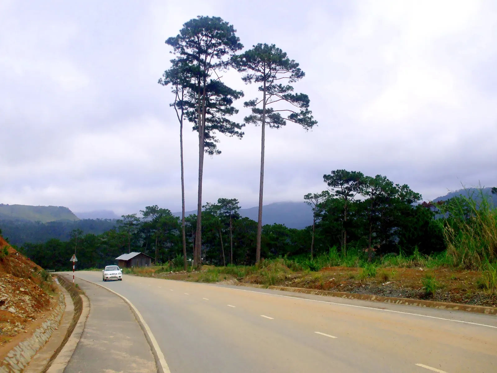
Mũi Đôi is the easternmost point of mainland Vietnam, and the only ways I know to stand on it are to walk there from Đầm Môn, across the sand of the Hòn Gốm peninsula, or to hire a boat from the same village and scramble up the rocks from the water. On foot it is 12 to 13 km each way by the account I trust most, a night in a tent at Bãi Rạng beach, and a sunrise on the granite at the end. I did it that way, with a local guide, and it was harder than the distance suggests.
The short version: go between January and June, carry more water than you think you need, stay away in the September to December monsoon, and do not confuse this headland with the Dai Lanh lighthouse, which stands on the rival cape in another province.
Is Mui Doi really the easternmost point?
Yes. Vietnamese Wikipedia puts the headland at 12°38′39″ N, 109°27′50″ E, at the tip of the Hon Gom sandbar in what is now Đại Lãnh commune. The rival is Mũi Điện, the Cap Varella of the French charts, across the water to the north in what was Phú Yên and, since the June 2025 merger, is Đắk Lắk. Depending on which article you read, Mui Dien sits about 45 seconds of arc further west, and its own Wikipedia page concedes second place. The grade 12 geography textbook gives the title to Mui Doi, which settles it for the people who put up markers.
The marker on the rocks is a triangular pyramid engraved with the coordinates, rounded on the stone to 12°39′ N, 109°28′ E. Wikipedia says the granite version was completed in 2017; a 2026 travel page still describes the earlier stainless-steel one that trekkers put up, so I will only say that there is a marker and that you will want a photograph beside it. About 500 m offshore is Hòn Đôi islet, point A7 of Vietnam’s maritime baseline, which is why the whole place has a border-post feel. The Ministry of Culture listed the headland as a national scenic landmark in 2005.
How do you get to Dam Mon?
Dam Mon is the fishing settlement and port near the tip of the peninsula. From Nha Trang it is QL1 north past Vạn Giã to the turn-off at Tu Bông, then the road out along the sandbar. Published distances disagree: a January 2026 trekking page says about 80 km, Vietnam Coracle says 110 km, and the longer figure felt nearer the truth on my bike, because 80 km is roughly the highway distance to Dai Lanh and the sandbar road comes on top of it. From Tuy Hòa it is about 60 km. Allow a good two hours from the city, and fill the tank on QL1, because there is no fuel out on the peninsula beyond the villages.
The village is where the walk starts, where the Whale Island resort boat leaves and where boats to the point are hired. It was Vạn Thạnh commune until the July 2025 reform and is now part of Dai Lanh commune. I have never found a hotel there; you leave the bike in the village and sleep on the beach. The bay behind it is the subject of Van Phong Bay explained, and the village is earmarked for a deepwater port and, since June 2025, an approved new town, so the sandbar may not stay this empty for long.
What is the walk actually like?
Three kinds of ground, in this order: dunes, forest, boulders. The two guides I have read put the one-way distance at 12 to 13 km (seayoutravel, January 2026) and 10 to 15 km (dicungdien, June 2025), and the time at 6 to 8 hours or 4 to 6 hours depending on fitness. Both rate it medium to hard, and both are right that the difficulty is not the distance. It is the sand. The dunes sink under each step, there is no shade on them and no water, and by mid-morning the heat comes up off them as well as down on them. The forest is the relief. The last stretch follows the coast over granite, and the final 100 m to the marker is a scramble over big wet boulders with a fixed rope in places. In any swell that scramble is dangerous, which is the plainest reason to pick a calm month.
| On foot from Dam Mon | By hired boat from Dam Mon |
|---|
| Distance or time | 12 to 13 km each way; 4 to 8 hours depending on the source and your legs | 30 to 45 minutes on the water |
| Overnight | Yes: camp at Bai Rang beach, sunrise at the point | No: half a day |
| Water | Carry 3 to 4 litres per person; the guided camps provide about 10 litres each for washing | Carry your own |
| The end | The boulder scramble, with a rope | The same scramble, from the water side |
| Price | Guide and tour prices are not published on any page I could open | The boat price is not published on any page I could open |
What was harder than I expected: the second hour on the dunes, when the map said we had barely started; how much of my water was gone before the forest; and the walk back over the sand the next morning on legs that had done the boulders twice. What was easier: the camp. The guided camps carry fresh water, the beach is sheltered, and sunrise at the marker is the reason the whole thing exists.
Do you need a guide, and what does it cost?
Every account I have read recommends a local guide or treats one as required, and I went with one arranged in Dam Mon. I have not found a published price for a guide, a porter or a two-day tour from a Nha Trang operator, so I will not give one; it cost less than I expected, and the water and the tent were part of it. I never found an entry fee or a permit either. What I can say is that the route is not marked, the dunes all look alike, and a wrong line in the forest costs an hour you do not have. Carry your passport; I do not know whether the border post requires registration, and nothing I read says.
The boat is the alternative for anyone who wants the marker without the night. A hired boat from Dam Mon takes 30 to 45 minutes to the rocks and then you climb the same boulders from below. The price per boat appears only in search snippets of pages I could not open, so ask at the port and share the boat.
When should you go?
| Months | What the sources say | My reading |
|---|
| January to March | The best season by one trekking guide | Cooler mornings, calm sea, the sunrise you came for |
| April to June | Still in season by the other guide; the coast is dry from January to August | Hotter on the dunes; be walking before dawn |
| July and August | Dry, but neither guide names them | I would go, early, with extra water |
| September to December | Avoid: the north-east monsoon, and the typhoon window runs from early September to about 10 December | Do not |
The sea state matters as much as the rain. The scramble at the point is on wet rock at the best of times, and in the monsoon the swell breaks over it.
Field note: on the dunes the guide walked on the wet sand at the water’s edge wherever the route allowed, and so did I after the first hour. It is longer and it is easier.
What I’d do
- Ride up the day before and sleep at Dai Lanh, 80 km north of Nha Trang, so the walk starts at dawn; Dai Lanh beach and the Ca pass covers the beach, which is in the same commune as the point.
- Fill up on QL1, turn off at Tu Bong, leave the bike in Dam Mon with the guide’s people.
- Walk out with 3 to 4 litres of water each, mostly on the wet sand, and reach Bai Rang by early afternoon.
- Sunrise at the marker, then back to Dam Mon by the middle of the day. Ask in the village beforehand whether a boat can collect you from the rocks instead; I did not, and I walked the dunes twice.
- If a night on a beach is not on, take the boat out and back and put the saved day into Diep Son’s tide path from Van Gia.
It fits into the northern days of the seven-day Khanh Hoa motorbike loop as an overnight, and it does not fit into one long day north of Nha Trang at all. Wikipedia’s 80 km from Nha Trang and 35 km from Tuy Hoa read like straight-line figures, and on the ground the point is a long way from anything.