Seven days, one motorbike, the province from its northern tip to its southern edge. North up Highway 1 to the salt at Hòn Khói, Dốc Lết, the Điệp Sơn pier at Vạn Giã and the easternmost point of the mainland at Mũi Đôi; over the old Cả pass road and back to the city; west up the Khánh Lê pass as far as the top; south over the Khánh Sơn pass to the plateau; down to Cam Ranh bay and Bình Lập; along the Núi Chúa coast road to Vĩnh Hy and Phan Rang; and home on Highway 1. That is the loop I ride with anyone who visits for a week.
It is not hard riding. The longest day is the pass day west of the city, and the two passes are the only real climbs. What decides the week is the season: the mountain roads have closed in November or December in each of the last two years, and I would not plan this between October and December at all.
The licence question, with dates
Vietnam joined the 1968 Vienna Convention on 20 August 2014, so the only foreign paperwork it recognises is a home licence plus an International Driving Permit issued under that convention. The United States, Australia, Japan, China, Canada, New Zealand and India do not issue those. Since 1 January 2025 (Decree 168/2024/ND-CP) an unlicensed rider on anything over 125 cc is fined 6 to 8 million VND, and no helmet costs 400,000 to 600,000 VND. Enforcement tightened in 2026: between mid-May and the end of June the police checked 720 foreigners in the province and fined 210, more than 610 million VND in all. Insurance does not pay out without a valid licence.
The long version is in a year on a motorbike in Nha Trang. For a bike, the Nha Trang Guide page on motorbike rental lists shops and 2026 prices, one of them 150,000 VND a day or 900,000 VND a week.
Days 1 and 2: salt, sand and the easternmost point
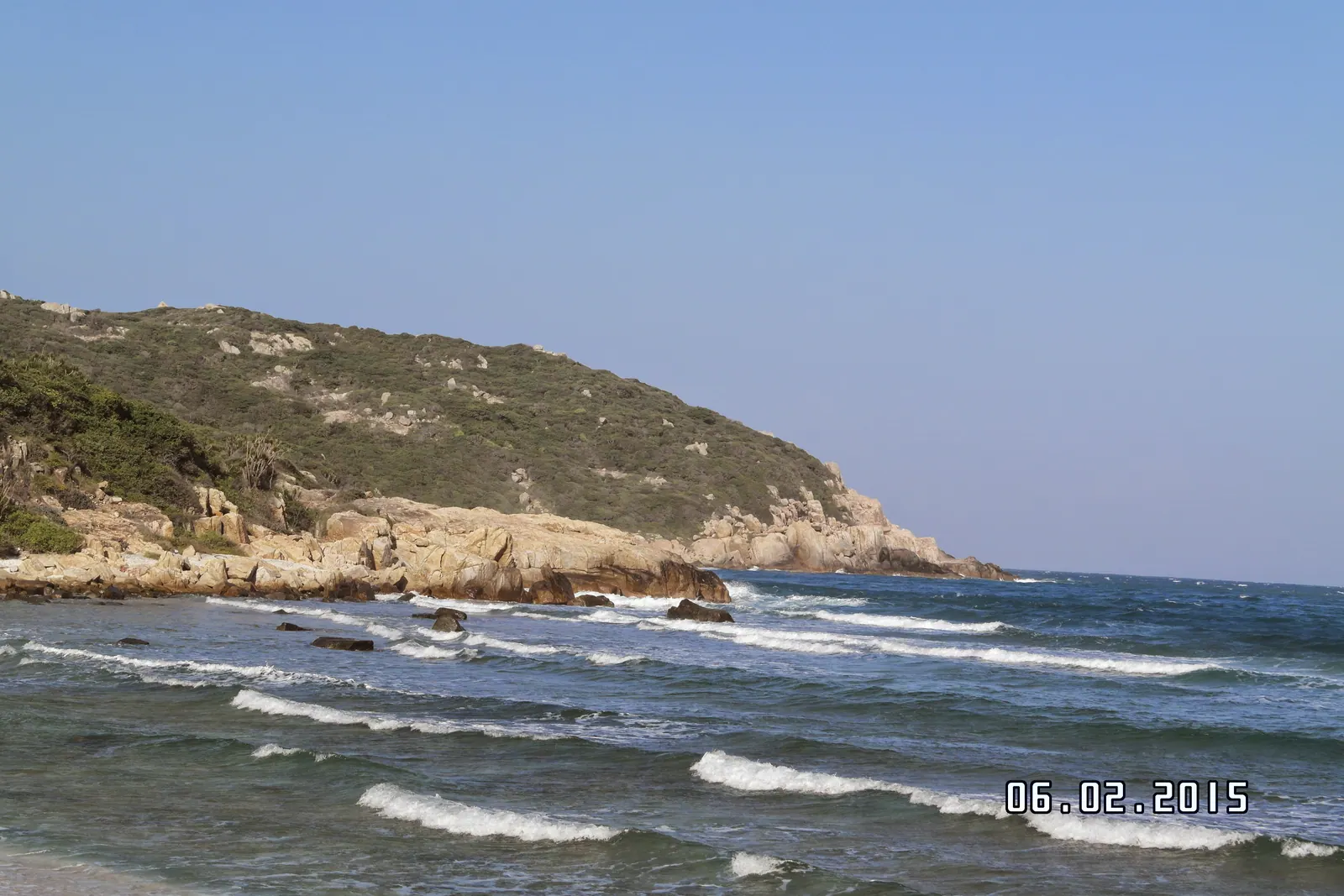
Day 1 is short. Highway 1 north 25 km to Ba Ho for the three pools, Ninh Hoa at 33 km for nem nướng in its home town, then the turn east to Doc Let, 46.3 km from the city, for the afternoon in shallow water. Sleep there: day 2 starts at the Hon Khoi salt pans a kilometre inland, where the workers are on the pans from 04:00 to 09:00 in season, March to September.
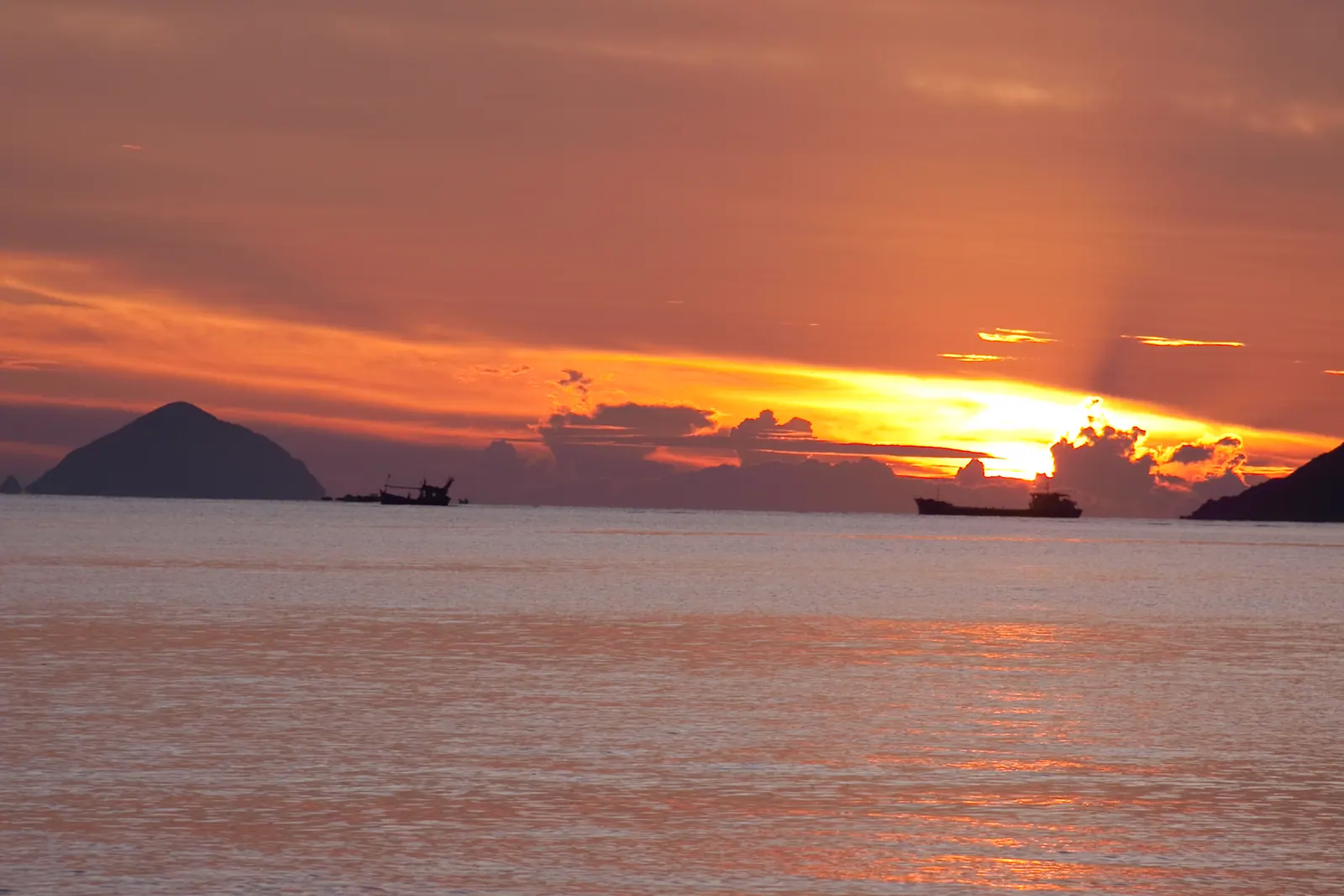
Then north. Van Gia, about 60 km from the city, is the Diep Son pier and the last town before the Dam Mon turn at Tu Bong. Dam Mon is the port at the tip of the Hon Gom sandbar, about 80 km from Nha Trang by one source and 110 km by another; fill up on Highway 1, there is no fuel on the peninsula beyond the villages. From Dam Mon, Mui Doi is either a hired boat of 30 to 45 minutes and a scramble, or the walk: 12 to 13 km each way over sinking sand, forest and coastal rock, camping at Bai Rang and reaching the marker for sunrise. With a week I take the boat and sleep at Dai Lanh, 80 km from the city. Walking to Mui Doi is the two-day version.
Day 3: the Ca pass and a night at home
Dai Lanh is the last beach before the pass, and the managed section charged 20,000 VND with a shower in 2025. The Ca pass carries Highway 1 over the mountains into the former Phu Yen, 12 km long and 333 m at the summit, and since 21 August 2017 the through traffic has used the 4.1 km tunnel. Motorbikes are kept out of the tunnel, which is the point: the old road over the pass stays open and toll-free, and its 30 minutes are the best of the week. Ride to the summit at Vung Ro, turn round, and it is 80 km of Highway 1 back to Nha Trang. I sleep in my own bed on night 3.
Day 4: the Khanh Le pass, as far as the top
West on QL27C through Dien Khanh to Khanh Vinh, 30 to 35 km, the last fuel and food before the pass. The Khanh Le pass is 33 km long by the usual count and tops out at about 1,700 m on the Lam Dong border, with the worst landslide record in the province: a slide closed it for about a week in December 2024, and a rockfall at km 45 hit a bus at about 23:00 on 16 November 2025, killing six. The whole pass shut from 17 November 2025, reopened to all vehicles between 05:00 and 18:00 from 13 February 2026, and repairs to nine slide sites, begun in June 2026, were due in early October. On 13 September 2026 the authorities were still advising against crossing between 18:00 and 05:00.
So: morning only, dry months only, and check the current order the night before. Ride to the top, where it is cold even when the coast is hot, and come back down. The full crossing is in riding the Khanh Le pass to Da Lat. If it is raining, Yang Bay park at 40 to 45 km is the substitute, 200,000 VND at the gate in 2026.
Days 5 and 6: Khanh Son and Cam Ranh bay
Highway 1 south past the airport turn to Ba Ngoi, on the west shore of Cam Ranh bay, then west on provincial road 9 (DT 656) over the Khanh Son pass, 600 m at the top, to To Hap: about 40 km from Cam Ranh, about 100 km from the city, and the only sealed road in. Ta Gu waterfall is 10 to 15 km beyond the town, a 40 m single drop; entry is free, with a cleaning fee of about 10,000 to 20,000 VND quoted. Sleep in To Hap. The cloud sea over the valley is best from about 05:30 to 06:30, and in late July or August the roadside stalls are selling durian; see Khanh Son in durian season.
Day 6 is back over the pass to Ba Ngoi, the market before eight, and out to Binh Lap, the peninsula on the south side of the bay, reached entirely by road. Since the June 2026 order banned every tour to Binh Ba and Binh Hung, it is the lawful way to get the island feeling. This is a naval base town: no photographs of anything behind military signage, which has been a matter of criminal law since 1 January 2025. Sleep in one of the small bays.
Day 7: the Nui Chua coast road and Highway 1 home
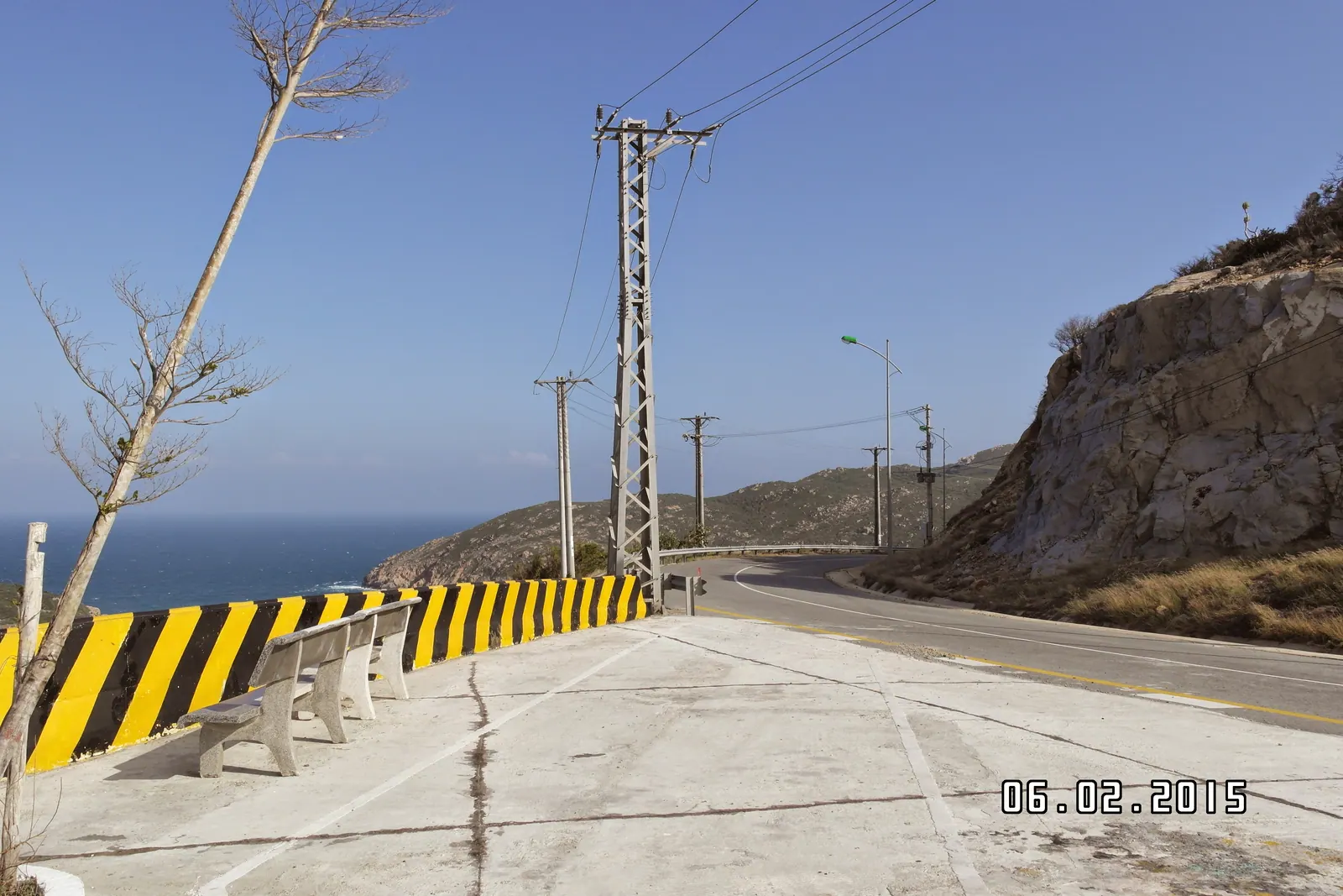
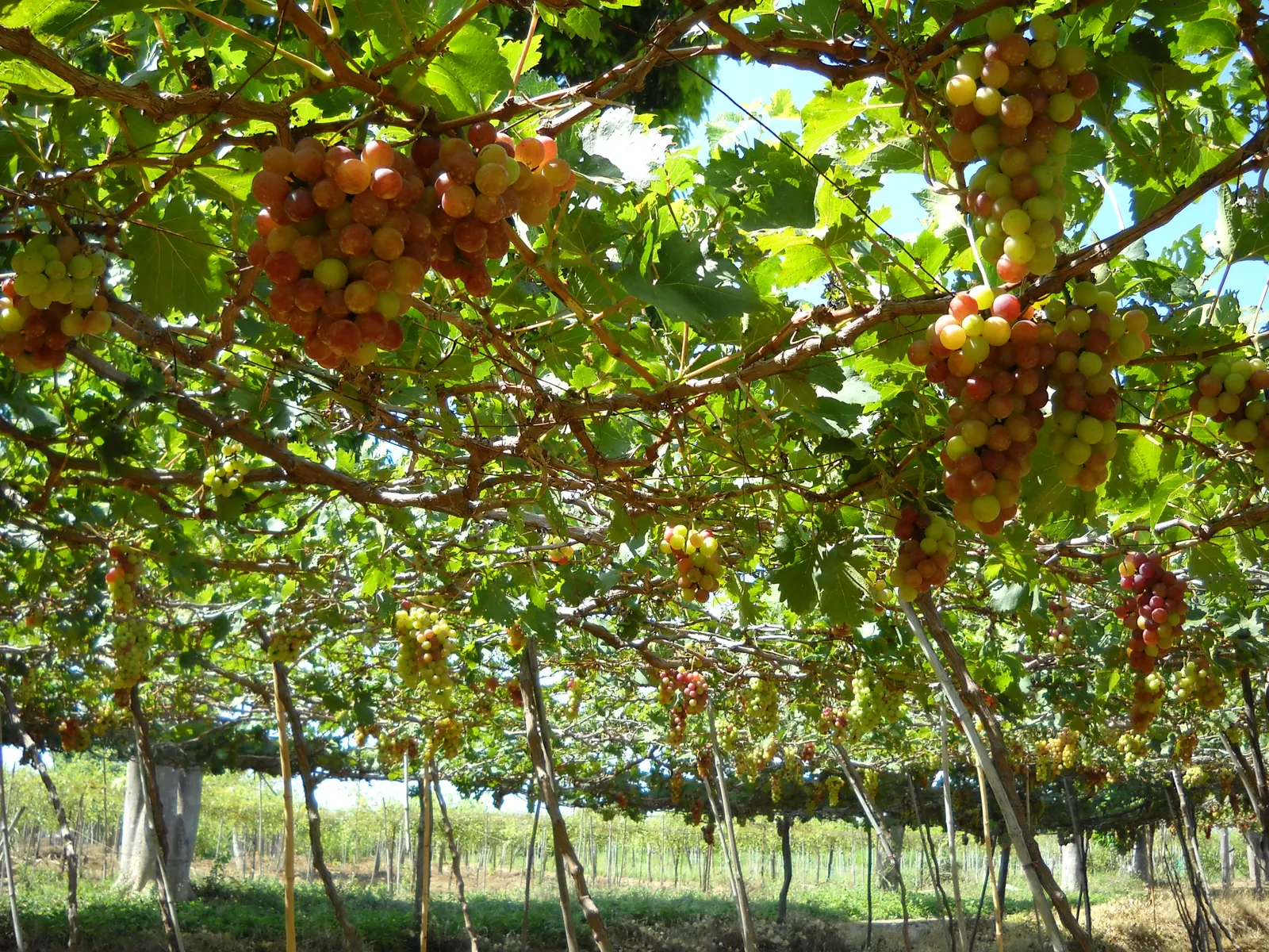
From Binh Lap the coast road runs south through Binh Tien and Bai Kinh (the old pier for Binh Hung, so no canoe) and over the Vinh Hy pass. Fill up before it; there are long stretches with nothing. Vinh Hy is 43 km south of Cam Ranh, and DT702 carries on about 50 km along the seaward edge of Nui Chua National Park past Hang Rai and the Thai An grape village to Ninh Chu, Phan Rang’s beach. The pass section is steep and exposed to rockfall in heavy rain. The Nui Chua coast road has every stop. From Phan Rang it is 95 km of Highway 1 back to Nha Trang, and the Po Klong Garai towers, 6 to 7 km west of the town, are the last stop worth making.
The distances
| Day | Legs | Road | Sourced figures |
|---|
| 1 | Nha Trang, Ba Ho, Ninh Hoa, Doc Let | QL1 | 25 km, 33 km, 46.3 km from Nha Trang |
| 2 | Doc Let, Van Gia, Dam Mon, Mui Doi, Dai Lanh | QL1, sandbar road, boat | Van Gia about 60 km, Dam Mon 80 to 110 km, Dai Lanh 80 km from Nha Trang |
| 3 | Dai Lanh, Ca pass, Nha Trang | Old pass road, QL1 | Pass 12 km and 333 m; 80 km home |
| 4 | Nha Trang, Khanh Vinh, pass summit and back | QL27C | 30 to 35 km to Khanh Vinh; pass 33 km, about 1,700 m |
| 5 | Nha Trang, Ba Ngoi, To Hap, Ta Gu | QL1, DT 656 | To Hap about 100 km; pass 600 m; Ta Gu 10 to 15 km on |
| 6 | To Hap, Ba Ngoi, Binh Lap | DT 656, QL1, Cam Lap road | To Hap 40 km from Cam Ranh; Binh Lap about 80 km from Nha Trang |
| 7 | Binh Lap, Vinh Hy, Ninh Chu, Nha Trang | Coast road, DT702, QL1 | Vinh Hy 43 km from Cam Ranh; DT702 about 50 km; Phan Rang to Nha Trang 95 km |
What I’d do
Ride it between February and August, and check three things the night before each mountain day: the current Khanh Le order, the weather over the Khanh Son pass, and the fuel. Leave by 07:00 every day and be off the passes by mid-afternoon; fog and rain are the stated reasons for the night bans. Carry 3 to 4 litres of water a person on the dunes if you walk to Mui Doi.
If it rains: skip Ba Ho (flash floods in the October to December rains), skip both passes, skip the Mui Doi walk (not advised from September to December), and make it a coast week, Doc Let to Dai Lanh in the north and Binh Lap to Ninh Chu in the south, chosen from the beaches ranked. If it rains all week, the month was wrong; Khanh Hoa month by month says which to pick.