The Hon Heo peninsula road: Doc Let to Ninh Van by motorbike
The Hon Heo pass road is the only way onto the outer peninsula: QL26B east from Ninh Hoa past the salt flats and the shipyard turn, then nearly 10 km of single road over the ridge to Ninh Van fishing village, about 70 km from Nha Trang. It opened in 2009, parts of it have broken up, and it is still the best short ride in the north of the province.
Hon Heo mountain rising above green rice fields near Ninh Hoa under a sky of cumulus clouds.Photo: Tấn Phú Lương, CC0
There is one road onto the outer Hòn Hèo peninsula and it is worth the detour from Dốc Lết. It leaves QL1 at Ninh Hòa as QL26B, runs east past the salt flats and the turn for the shipyard, goes through Ninh Phước, and then climbs as a single pass road of nearly 10 km over the ridge and down to the fishing village of Ninh Vân. It opened in 2009; before that the village was boat-only. Vietnamese riders call it the most beautiful ride near Nha Trang, and on a dry morning I would not argue.
The catch is the surface. Parts of the pass had broken up by 2025 and the sensible advice is to slow down, which on a scooter means walking pace on the worst bits. Do it in daylight, in the dry season, with a full tank.
Where does the road go?
From Nha Trang the whole run to Ninh Van village is about 70 km by road; from Ninh Hoa town centre it is about 30 km. Those two are one source and the 33 km to Ninh Hoa in the table below is another, so they do not quite add up; all three are rounded, and on this road the minutes matter more than the kilometres anyway. The first stretch is flat and busy: the salt pans of Hòn Khói on the flats, about 400 ha of them, then the junction where the shipyard traffic turns off towards Mỹ Giang. The HD Hyundai yard there is the largest in Vietnam and delivered 710,369 gross tonnes of ships in 2025, about 80 percent of everything the country launched, so the trucks on this stretch are real. Then the road narrows through Ninh Phuoc and Ninh Tịnh, the houses thin out, and the climb starts.
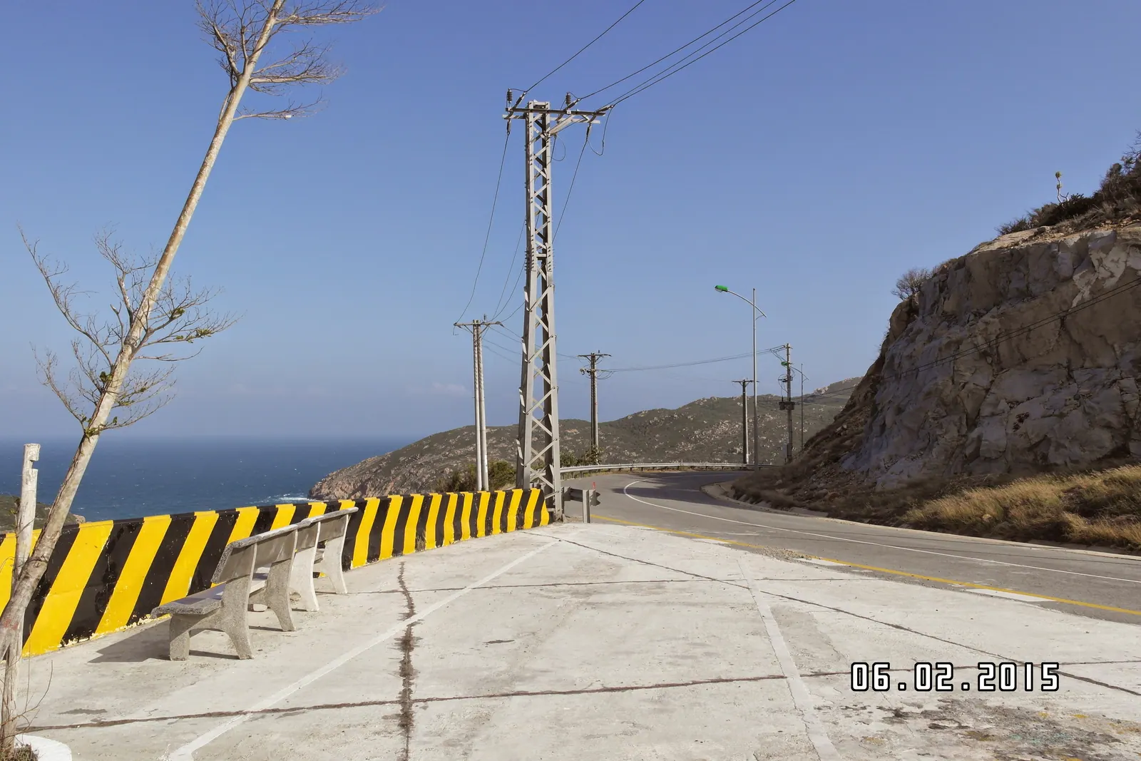
The pass itself is the reason to come. It is cut into the side of the ridge with the water opening below on one side and forest on the other, and there are two or three places where you will stop without meaning to. At the top the road drops to the village, which is the end of it. It does not continue round to the resort bay: the resorts on the seaward side are reached only by their own boats from Nha Trang, and I have written about that split in Ninh Van Bay without a Six Senses budget.
From Nha Trang
Distance by road
Time
Ninh Hoa, where QL26B leaves QL1
33 km
Under an hour on QL1 in my experience
Doc Let beach
46.3 km
About 1 hour by car or motorbike (2025 travel-site figure)
Ninh Van village over the pass
About 70 km
The better part of two hours, allowing for the surface
What is the road like to ride?
Two roads, really. QL26B out of Ninh Hoa is straight, flat and carries shipyard and salt traffic; it is not pretty but it is quick. The pass is the opposite: narrow, climbing, almost empty, and with stretches where the tarmac has gone and the base is showing. Nothing on it needs a big bike. An ordinary rental scooter with decent tyres gets over it, as long as you ride it like a road that can drop a pothole in front of you on a blind bend, because it can.
There is no fuel, no water and no mechanic on the pass. Fill up in Ninh Hoa or Ninh Phuoc. I carry a litre of water and a puncture kit, and I have needed the water more than once. In the wet months the run-off crosses the road in places, and the ride I regretted was the one I did with rain coming in from the sea and the light going.
Field note: the road number is less useful than the signs. Maps label the coast road QL26B and then a provincial road number; on the ground you follow Ninh Phuoc and then Ninh Van, and there is nothing else to follow.
Is it worth the detour from Doc Let?
Yes, if you have the morning and the weather. Doc Let is 46.3 km from Nha Trang and Ninh Hoa 33 km, so by subtraction the beach is about 13 km out of Ninh Hoa along the same corridor. Ninh Van is a further half hour or more beyond the point where the Doc Let road turns off. If you started early, do the pass first while it is cool and the light is behind you, eat in Ninh Van, and come back to Doc Let for the afternoon. The beach is at its best when the families have gone, which is the subject of Doc Let on a weekday.
If you only have a couple of hours, ride to the top of the pass and turn round. The view is at the top, the village is small, and the broken surface is mostly on the descent to the village. That is the version I recommend to friends with a rental scooter and a flight the next day.
The peninsula itself I cannot give you numbers for. I have not found a reliable published height for the ridge or an area for Hon Heo, so it stays a mountain that is high enough to make its own weather, which on the wrong afternoon it does.
What I’d do
Leave Nha Trang at first light in the dry season, February to August. Fuel in Ninh Hoa.
QL26B east. If it is before eight, stop at the salt pans; Hon Khoi salt fields at dawn explains why the hour matters.
Follow the signs for Ninh Phuoc, top up the tank there, then climb. Stop at the top.
Down to Ninh Van for lunch and a swim. Back over the pass by two.
Doc Let for the late afternoon, then QL1 home before dark.
Done as a loop it fits the pattern of one long day north of Nha Trang, though that day goes further up the coast and skips the pass. You cannot do both in daylight and enjoy either.
Questions I get asked
How long is the Hon Heo pass road?
Nearly 10 km of single road over the ridge from Ninh Phuoc to Ninh Van village, opened in 2009. The whole ride from Nha Trang to the village is about 70 km, and about 30 km from Ninh Hoa town.
What condition is the road in?
Several sections had broken up as of 2025 and the advice from Vietnamese riders is to slow down. It is fine on a dry morning on an ordinary scooter; I would not ride it in rain or after dark.
Is there fuel on the peninsula?
Not on the pass. Fill up in Ninh Hoa or Ninh Phuoc before the climb; there are no services between there and the village.
Can you combine Doc Let and Ninh Van in one day?
Yes, they share the QL26B corridor out of Ninh Hoa. Doc Let is 46.3 km from Nha Trang and Ninh Van village about 70 km; do the pass in the morning and the beach on the way back.
Does the road reach the Ninh Van resorts?
No. Six Senses, An Lam and L'Alya are boat-in only from Nha Trang. The road ends at the fishing village, on a different stretch of the peninsula.
Sources
Read on 15 September 2026. Prices, hours and rules change; these are the pages the figures came from.
Ninh Van is two places with one name. The resort bay has no road and no public landing; you reach it as a guest of Six Senses, An Lam or L'Alya. The fishing village of Ninh Van, on the same Hon Heo peninsula, has had a road since 2009, sits about 70 km from Nha Trang, and has homestays, seafood and beaches.
Doc Let is the long, very shallow white-sand beach 46.3 km north of Nha Trang, about an hour by motorbike, and on a weekday in the dry months it is close to empty. The gated resort strip charged 50,000 VND an adult in 2025, chair and shower included; there is free sand outside it. At weekends the families arrive.
In kilometres the coast road is no longer than the highway: about 60 km from Phan Rang to the Binh Lap peninsula against roughly 60 km on QL1. In hours it is a different day, with a pass, a bay, a coral shelf, a grape village and almost no fuel. Ride it between January and August and give it the whole day.
North first: Doc Let and the Hon Khoi salt, Dam Mon and Mui Doi, Dai Lanh and the old Ca pass road. Then west to the top of the Khanh Le pass, south over the Khanh Son pass to To Hap and Ta Gu, down to Cam Ranh bay and Binh Lap, along the Nui Chua coast road to Phan Rang, and 95 km of Highway 1 home. Not between October and December.