The slow way from Cam Ranh to Phan Rang is the coast, and it is slow because of what is on it, not because of how far it is. From Phan Rang the coastal route to the Bình Lập peninsula is about 60 km by the figure Voice of Vietnam published in July 2025. Cam Ranh to Phan Rang on QL1 comes out at roughly the same distance, worked back from the 95 km Vietnamese Wikipedia gives for Nha Trang to Phan Rang. The highway takes me a little over an hour on a scooter. The coast road, with the stops that are the reason to be on it, takes the day.
The road is Tỉnh lộ 702, DT702 on the signs: about 50 km from Ninh Chử beach north to Bình Tiên along the seaward edge of Núi Chúa National Park, then an unnumbered continuation over the last headlands to Binh Lap, where you rejoin the Cam Ranh side. It is free to ride, nothing I could find reports a closure in 2025 or 2026, and it has almost no petrol on it.
Which road is DT702, exactly?
The names get muddled, so here is the map as the sources give it. DT702 starts at Ninh Chu, the town beach about 8 km east of central Phan Rang, and runs north past the Phương Cựu and Đầm Vua salt flats, the Thái An grape village, Hang Rái, the park’s coastal strip and Vĩnh Hy, then over the pass to Bãi Chuối, Bãi Kinh, Bãi Nước Ngọt and Binh Tien. The Phan Rang travel site I rely on for the numbering puts that at about 50 km. Voice of Vietnam describes the same run continuing to Binh Lap as about 60 km from Phan Rang in all.
It has a southern twin, DT701, about 51 km from Cà Ná through Sơn Hải and Bình Sơn back to Ninh Chu, which is the road for Mui Dinh and the dunes, not this one. Tuoi Tre, writing in April 2025 about the whole coastal chain, put Nguyễn Tất Thành boulevard in Nha Trang to Phan Rang at about 120 km, with the Công Hải to Phan Rang section, the old Ninh Thuận part, at 50 km, and the Cù Hin pass at the Nha Trang end at 8 km.
How does it compare with QL1?
| Route | Distance | My time on a scooter | What you get |
|---|
| QL1, the airport to Phan Rang | Roughly 60 km, worked back from the 95 km Nha Trang to Phan Rang figure | A little over an hour | Trucks and a straight inland road |
| Coast road, Binh Lap to Phan Rang | About 60 km (Voice of Vietnam, July 2025) | Most of a day with stops | The pass, Vinh Hy, Hang Rai, Thai An, the salt flats, Ninh Chu |
| Cam Ranh airport to Vinh Hy | 75 minutes by road, Aman’s own figure for its Amanoi guests | About the same on a bike, in the dry | The pass section only |
The honest comparison is time, not distance. If the aim is to be in Phan Rang for lunch, take the highway. If the aim is the coast, this road is the point of the trip, and it is the southern leg of the seven-day motorbike loop.
What is the road like, section by section?
From the Cam Ranh side there are two ways onto it. The direct one is QL1 south to Cong Hai and then east to Binh Tien. The longer one, and the one I take, is through Ba Ngòi and out along the Binh Lap peninsula, about 50 km from the airport by a travel guide’s May 2026 figure, where the coastal route from the south ends. The Cam Ranh half of that is in around Cam Ranh bay by motorbike. Nothing I found says whether the last stretch between Binh Lap and Binh Tien is fully paved; on my rides in the dry season it was rideable on a scooter, and I would ask in Binh Tien before doing it after rain.
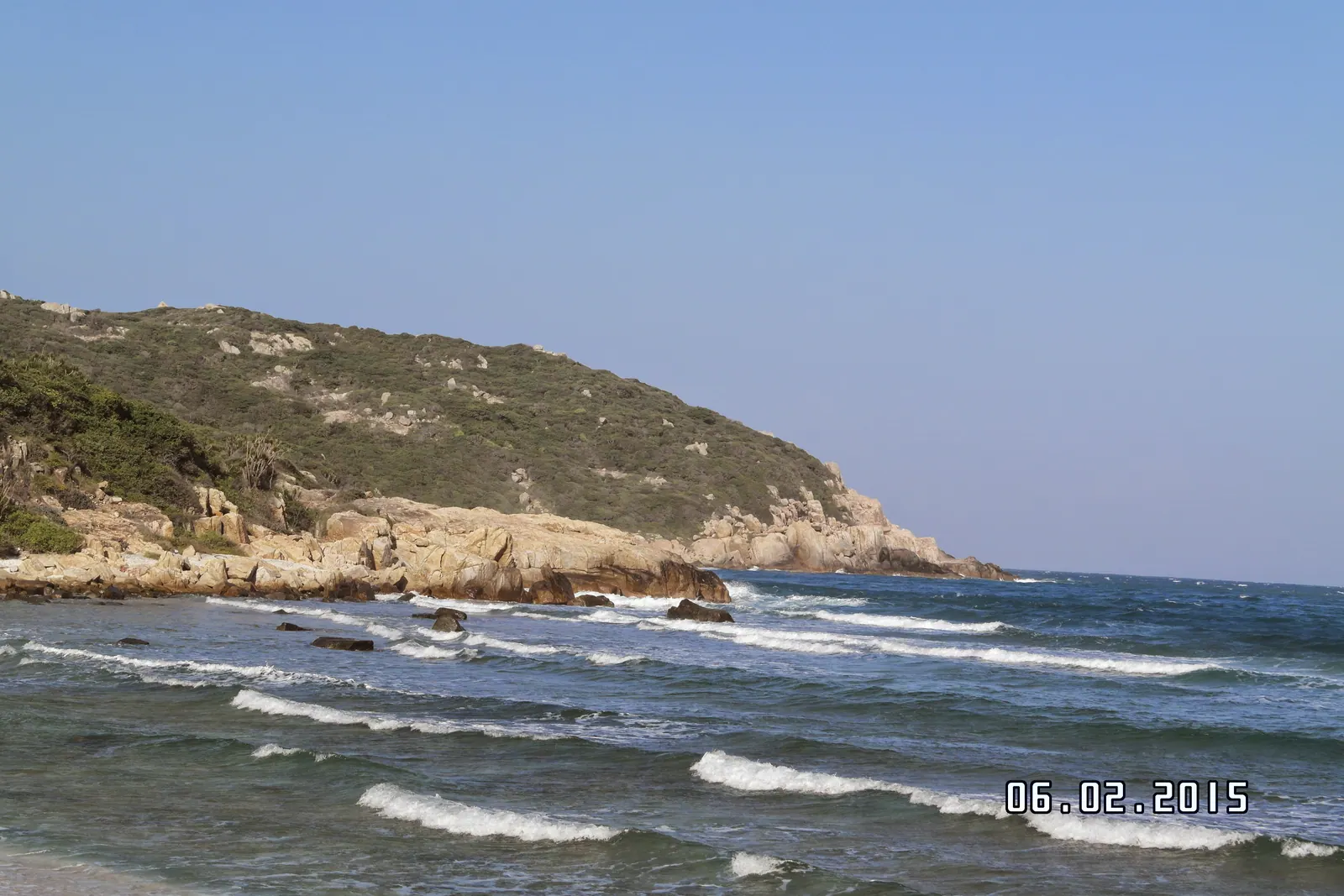
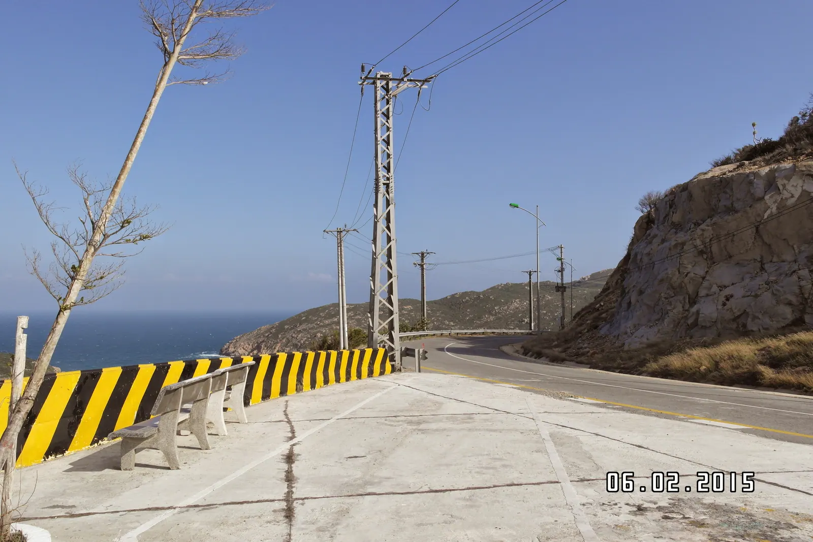
Binh Tien to Vinh Hy is the pass. It is steep, sharply bent and cut into the flank of the mountain with the sea straight below, and it is the section every warning about this road refers to, because in heavy rain rocks come down onto it. On a dry morning it is the best stretch of the ride.
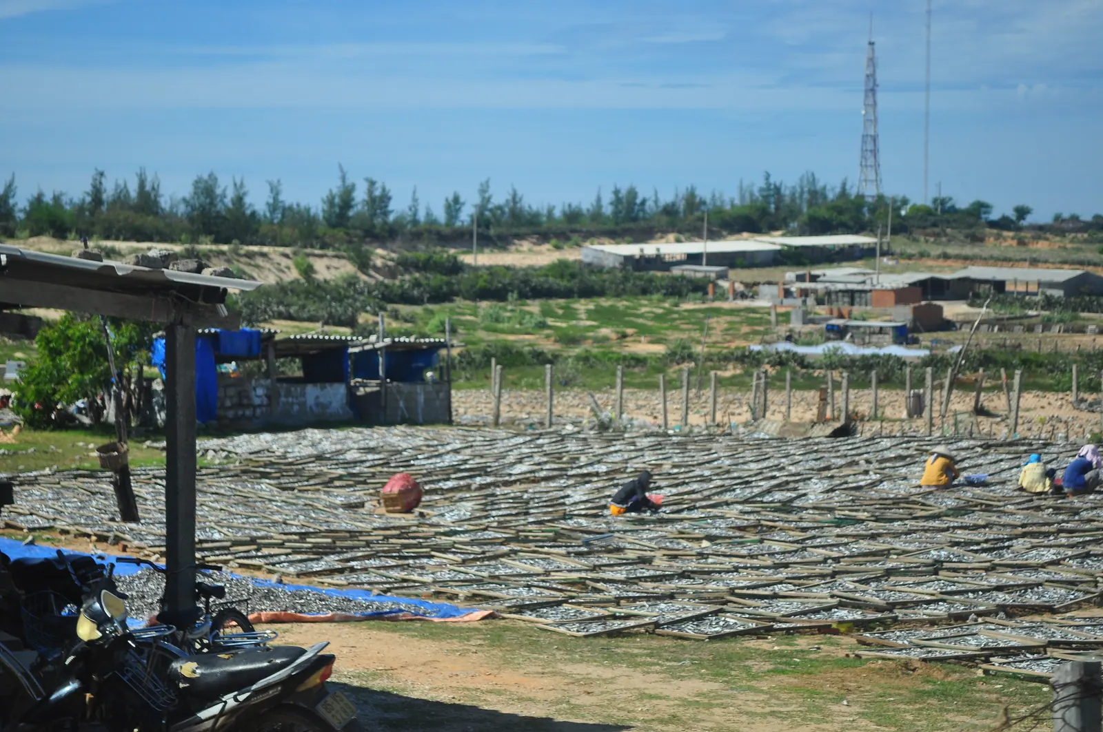
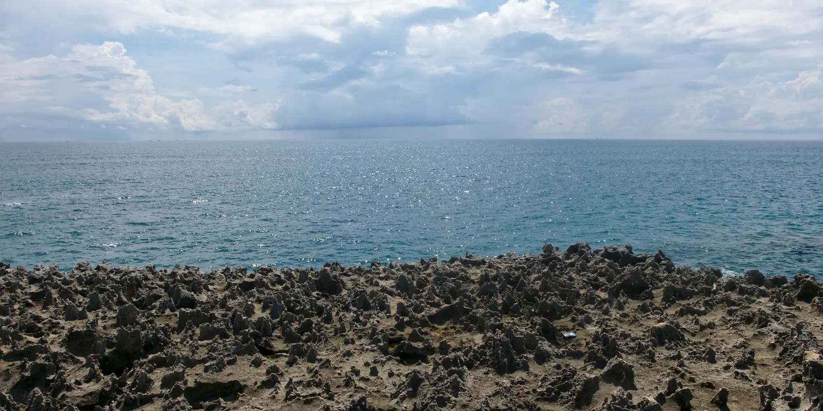
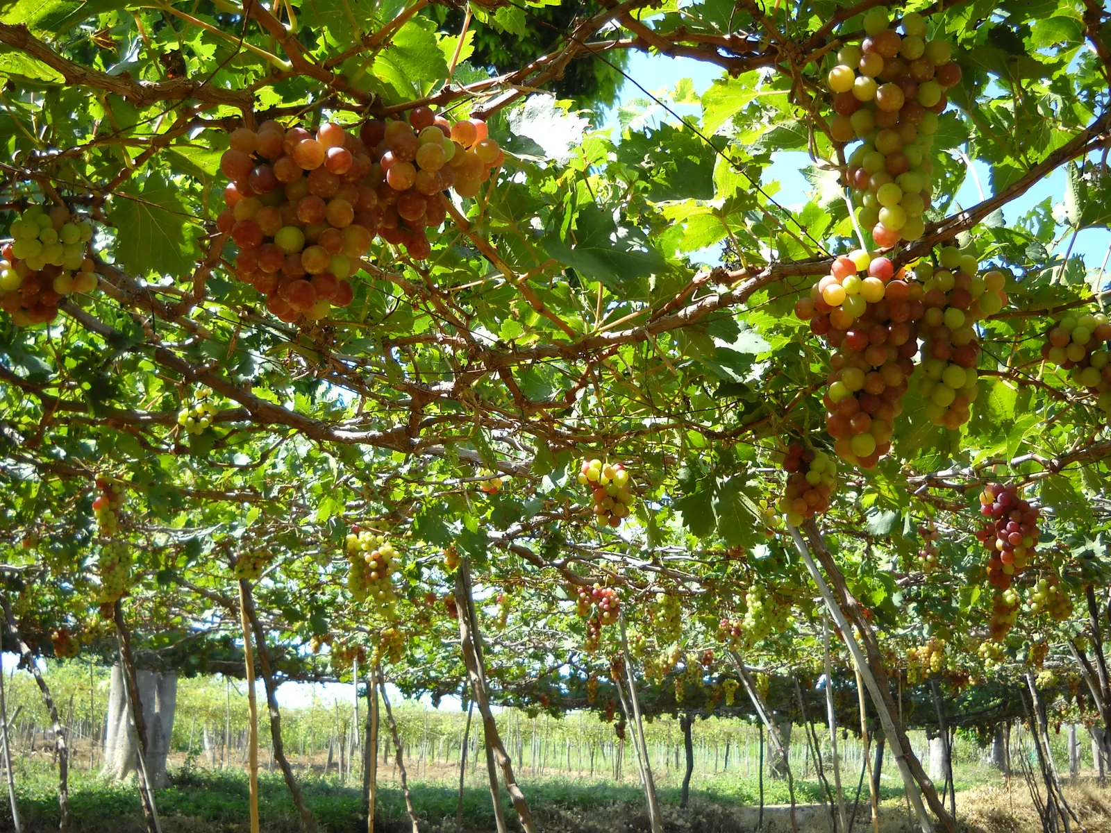
Vinh Hy to Hang Rai is short and inside the park’s coastal strip: thorn forest, cactus, boulders the size of houses, and unmarked pull-offs with the road, the cliff and the sea in one frame. From there the road drops to Thai An, where the grape trellises begin, then along the salt flats at Dam Vua and Phuong Cuu, and into Ninh Chu.
| Stop, north to south | From Phan Rang | Source |
|---|
| Binh Lap peninsula, the end of the route | About 60 km | Voice of Vietnam, July 2025 |
| Vinh Hy Bay | 42 km, and 43 km south of Cam Ranh | Vietnamese Wikipedia |
| Hang Rai | About 35 km | intour.com.vn, 2026 |
| Ninh Chu beach | About 8 km | Wikivoyage |
What does it cost to stop?
The road is free. None of the stops has an official price I could find, so these are travel-site and operator figures. Hang Rai is run as the park’s visitor site: the travel-agency page dated June 2026 gives 30,000 VND an adult and 20,000 for a child, stated for 2025, plus 20,000 VND for the electric shuttle from the gate to the rocks, while other sites quote 35,000 VND with the shuttle included. At Vinh Hy the glass-bottom boats were 80,000 to 100,000 VND an adult for the 45-minute coral trip on the two 2026 price lists, 160,000 VND with snorkelling, plus a 20,000 VND conservation fee for the park on every ticket. The Thai An gardens are free to walk from 07:00 to 18:00, and grapes at the gate were 40,000 to 50,000 VND a kilo in 2025.
I have written both big stops up on their own: Hang Rai at sunrise and Vinh Hy Bay, what changed. If you are coming from the Bai Dai strip, the Cam Ranh Guide pages on Hang Rai and Vinh Hy Bay have the airport-side distances.
What about Bai Kinh and the islands?
Bai Kinh, on the pass section between Vinh Hy and Binh Tien, is the canoe pier for Bình Hưng island, and you may still be offered the crossing. Do not take it. Binh Hung and Bình Ba sit inside the security belt of the Cam Ranh naval base, and on 4 June 2026 the provincial culture, sports and tourism department ordered every operator to stop selling, advertising or running tours to either island. The rule itself goes back to a 2015 decision and applies to everyone, Vietnamese or foreign; the idea that the islands are open to Vietnamese citizens only is wrong. Binh Lap, where the road ends, is not named in the ban. Obey any military signage there and keep the camera pointed at the sea. Which Khanh Hoa islands you can still visit has the whole picture.
Where is the fuel, and the shade?
Phan Rang and Vinh Hy. That is the complete list of petrol. Nui Chua is the driest landscape in Vietnam: the Phan Rang station’s normals are 838.5 mm of rain a year and 3,029 hours of sun, and the park’s thorn forest throws no shade worth stopping in. The park was created on 9 July 2003 and has been a UNESCO biosphere reserve since 14 April 2021, with its summit at 1,039 m above the road and about 57 km of coastline below it. Water, sun cover and a full tank at Ninh Chu or Ba Ngoi before you commit.
Field note: the wind on the pass comes off the sea in gusts you feel through the handlebars. Slow down before the bends, not in them, and give the buses the whole road; they take it anyway.
When should you ride it?
January to August is the dry season on this coast. Voice of Vietnam names March to September as the best window for the Vinh Hy to Binh Lap route; I would narrow that to a weekday between February and May, when the light is clean and the shared boats at Vinh Hy are not yet full. From roughly September to December the north-east monsoon brings almost all the rain this coast gets, and with it rockfall and greasy bends on the pass. I have ridden it in November once, in drizzle, and would not do it again.
What I’d do
- Leave Cam Ranh after lunch on a weekday in the dry season, tank full at Ba Ngoi, and ride out through Binh Lap and Binh Tien so the pass comes in the late afternoon light.
- Sleep in Vinh Hy village. Eat what was landed that afternoon.
- Be at Hang Rai at first light, on a falling tide if the tables allow, before the vans.
- Walk the Thai An trellises when the gardens open at 07:00, buy a kilo, and ride the salt flats at Dam Vua while the workers are still out.
- Ninh Chu for a swim and a late breakfast, then Phan Rang, or DT701 south if the day has room in it.
Northbound, the order flips: Hang Rai at dawn from Ninh Chu, Vinh Hy for the boats, and the pass in the afternoon, which puts the sun behind you.