Hang Rái is not a beach, and I would not take anyone there expecting one. It is a shelf of ancient coral, lifted out of the sea and pitted into terraces, on the DT702 coast road about 35 km from Phan Rang, and it is run as the visitor site of Núi Chúa National Park. The reason to go is a picture: the sea running up over the lower terraces and sheeting back off the rock as the swell pulls out, which the Vietnamese call the waterfall on the sea, with the sun coming up behind it.
Two things decide whether you get it. The first is the tide, which should be low and falling at dawn. The second is the month: from December to about March the shelf carries a green moss that turns the rock the colour of a wet lawn, and that is the version of the photograph everyone has seen. I never found an official entrance fee; the travel sites quote 30,000 to 35,000 VND, and the details are below.
What is Hang Rai, exactly?
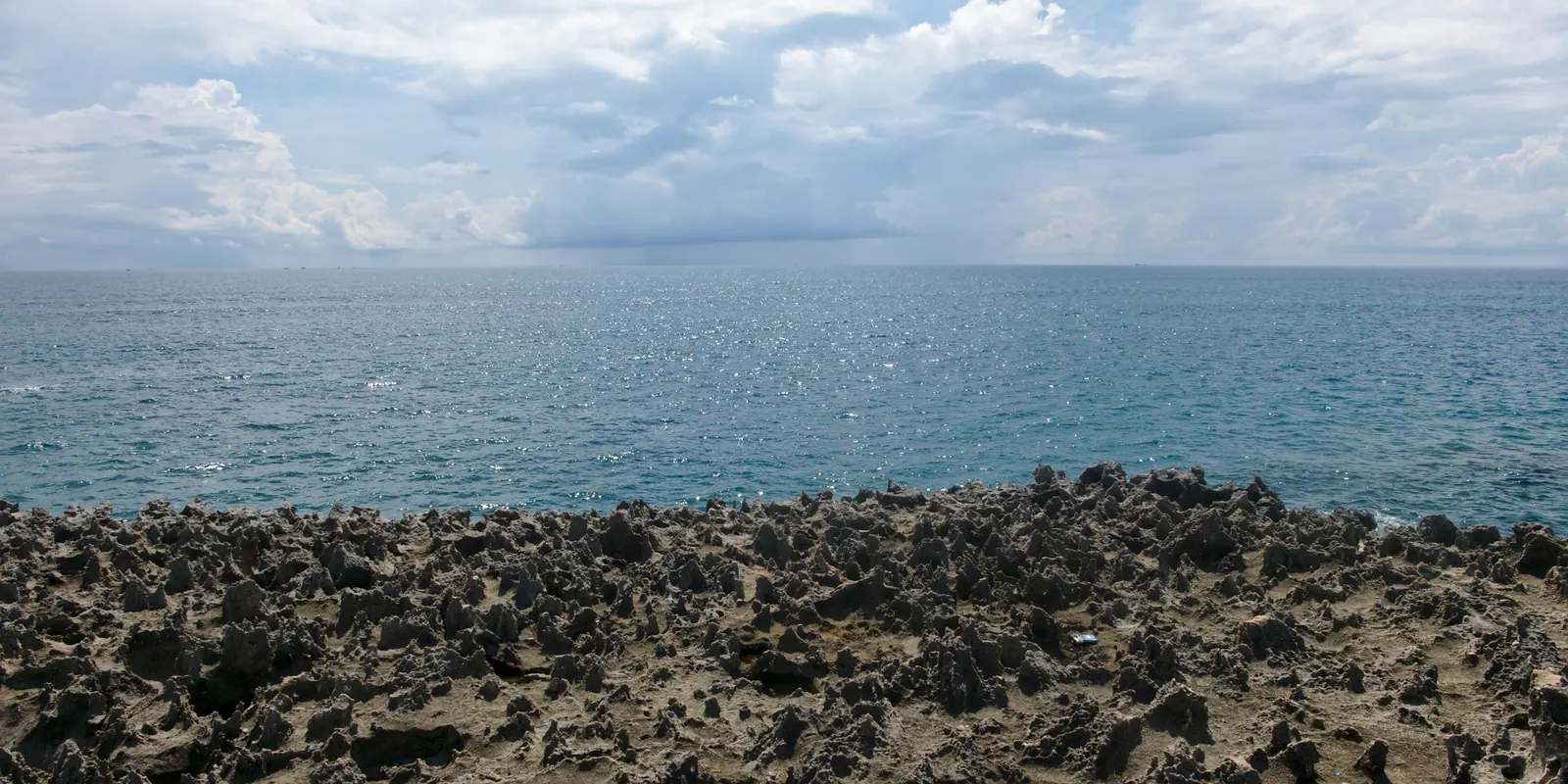
A raised platform of fossil coral rock at the water’s edge in Vĩnh Hải commune, on the seaward edge of the park between Ninh Chử and Vĩnh Hy. The rock is honeycombed and sharp, worn into shallow terraces that step down to the sea, with granite boulders piled behind. Water that a wave pushes up over the top terrace drains back over the lip as the wave retreats, and for a few seconds the edge of the shelf is a low, wide waterfall.
The park uses the site as its front door. From the gate an electric shuttle runs to the rocks, and the park lists a screening room for a documentary on the biosphere reserve and a marine animal rescue centre here; it counted over 4,000 students through its programme in 2023. The park itself dates from 9 July 2003 and has been a UNESCO biosphere reserve since 14 April 2021. The reefs offshore carry 307 recorded coral species that the English Wikipedia entry describes as in generally good to excellent condition, and what you are standing on is the same reef, a long time dead.
When does the moss come?
Later and shorter than the postcards suggest. Thanh Nien, reporting from this coast in February 2023, wrote that the moss grows most in about February and March, and that the best viewing is at low water around the full moon and the turn of the month from December to February, at dawn or dusk. The same report notes that the same moss covers nearly 4 km of shore, over 500 m wide, at Từ Thiện village about 15 km south of Phan Rang, which is the less-photographed alternative.
My own record over two winters: green in January and February, patchy in December and March, bare rock from April. The moss is a winter thing, and winter here is also the driest season. The Phan Rang station’s normals put February at 2.8 mm of rain, the driest month in the driest place in Vietnam.
| Month | Rain at Phan Rang, station normal | Sunshine hours | Moss, from Thanh Nien and my visits |
|---|
| December | 83.6 mm | 189.4 | Starting; best at the lowest tides |
| January | 8.8 mm | 241.7 | Green on the upper terraces |
| February | 2.8 mm | 255.2 | Heaviest growth; the classic month |
| March | 12.0 mm | 278.5 | Still growing early on, thinning late |
| April | 20.4 mm | 278.3 | Mostly bare rock |
What does the tide do?
Everything. Low water exposes the terraces and the rock pools; high water covers the lower shelf and turns the waterfall into ordinary surf against a wall. Thanh Nien’s advice is low water at dawn or dusk, and the tide here typically runs twice a day, so a low at sunrise comes round on a cycle rather than to order. I check a tide table for the Phan Rang coast the night before and go on the mornings when low water falls within an hour or two of first light.
The waterfall needs swell as well as a low tide. On a glassy summer morning the water barely reaches the top terrace and nothing drains. The north-wind season, which Dan Tri’s account of the kite beach at Mỹ Hòa up the road puts around December and January, sends sets over the shelf, and it coincides with the moss, which is why the famous photographs are all winter ones. Vinh Hy Bay, a few kilometres further north, is calmer in those months because the mountains close it in; Hang Rai is open to everything.
What does it cost and how do you get in?
The site is on DT702, about 35 km north of Phan Rang and a few kilometres short of Vinh Hy; park at the gate. I have never seen a price on the park’s own pages, and the 2017 provincial fee decision that would settle it is no longer online, so what follows is travel-site figures. The agency page I trust most, dated June 2026 and stating its prices for 2025, gives 30,000 VND an adult, 20,000 VND a child, under 6 free, plus 20,000 VND return for the electric shuttle from the gate to the rocks. Other sites quote 35,000 VND with the shuttle included, and some quote a separate special-use forest ticket of 40,000 VND for the park as a whole. Expect something in that range and do not argue over the difference.
The shuttle is optional. The walk from the gate is short and flat, and at dawn it is the better way in. The Cam Ranh Guide page on Hang Rai has the airport-side timings, and the ride itself is in the Nui Chua coast road.
How do you get the photograph without slipping?
Shoes first. The rock is fossil coral, which cuts, and the moss on it is as slick as ice; flip-flops are how people get hurt here. Thick soles with grip, and a dry bag for the camera.
Then position. The sun rises out of the sea, so the shot is from the upper terrace looking east, with the terraces backlit and the water going the colour of brass. Stand on the upper shelf and stay there. The lower shelf is where the waterfall forms and where the sets arrive, and a set arrives without warning; I have watched one come to the knees of a man who was looking through a viewfinder. Never turn your back on the sea down there, and do not go down at all if the swell is up.
The moment to press the shutter is a second or two after a wave has run up over the top, when the sheet of water is thickest at the lip. A fast shutter freezes it into glass; a slow one turns it to silk. Both work. What does not work is arriving at nine, when the light is flat, the tide has usually turned and the vans from Phan Rang are unloading.
Field note: the shelf faces east, so on a clear morning the sun comes straight at the lens. My best frames were in the ten minutes before it cleared the horizon, when the sky was lit and the rock was not.
What else happens here?
Hang Rai is where the park runs its turtle education, and in season you can join a supervised hatchling release through the park rather than by turning up. The nesting beaches themselves, Bãi Thịt above all, are strict protection zones patrolled at night. Green turtles, hawksbills and a third species come ashore from May to October with a peak in August, and between 2014 and August 2024 the park counted 173 successful nests and 11,349 hatchlings released. I have never managed to be there for a release, which tells you it runs on the park’s calendar, not yours.
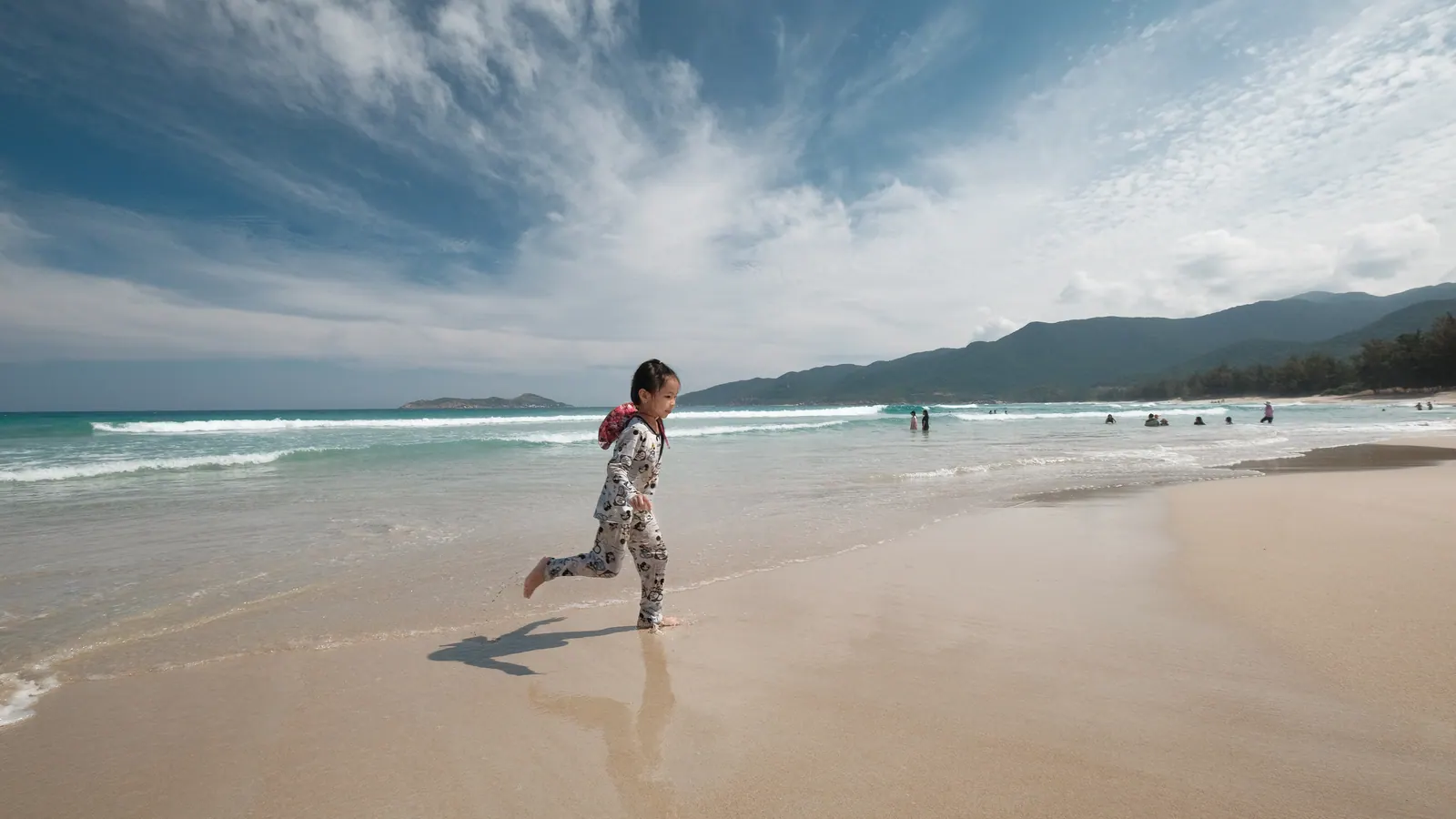
If you want sand after the rocks, my ranking of the province’s beaches puts the nearest swimmable ones in order; Ninh Chu is the closest.
What I’d do
- Sleep in Ninh Chu or Vinh Hy the night before, on a weekday between December and March, with a tide table checked for a low water near sunrise.
- Leave in the dark; it is about 35 km from Phan Rang on DT702, less from Vinh Hy.
- Pay at the gate, skip the shuttle, and walk in so you are on the upper terrace before the sun clears the sea.
- Shoot for half an hour, then put the camera away and look at the rock pools while the tide is still out.
- Breakfast at Vinh Hy and the coral boats there before eleven, or the Thai An grape gardens on the way back to Ninh Chu.
If you can only come in summer, come anyway: the terraces and the pools are there in any month and the sunrise is the same one. You will not get the green, and you should know that before you ride 35 km in the dark for it.