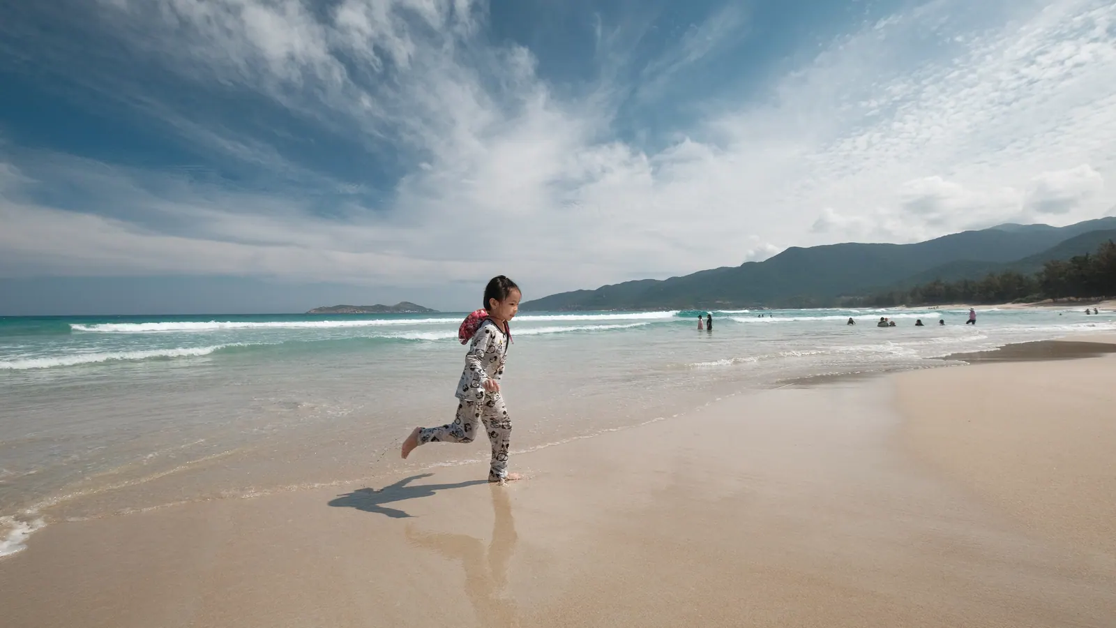
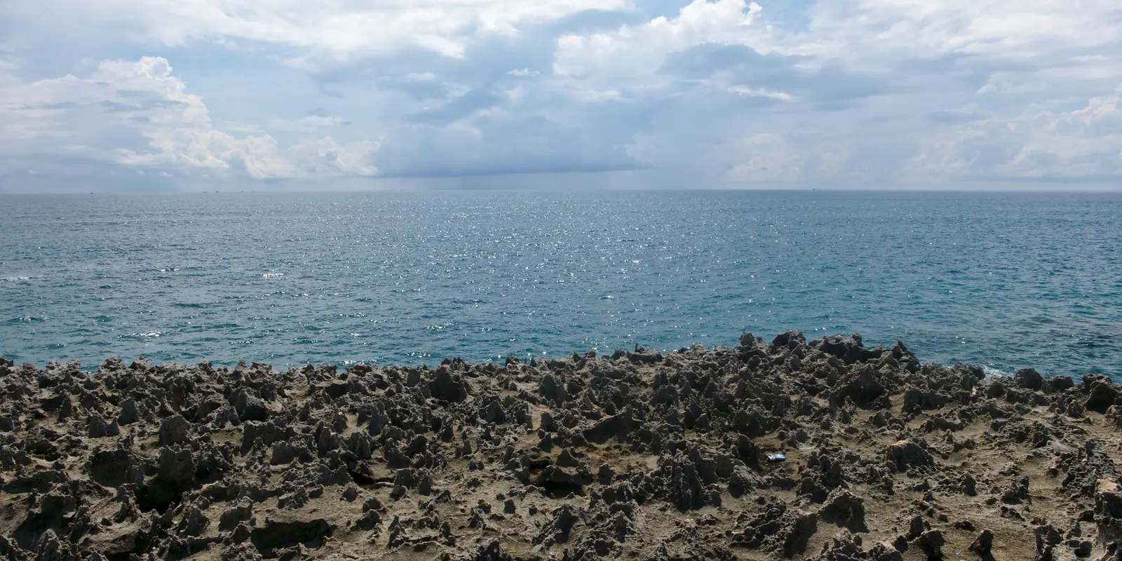
Between November and March, Bãi Dài is the beach I like best in the province, and it is the season the resorts would rather you did not see. The north-east monsoon blows down the length of it, the tide covers most of the sand the bathers use, the sea goes grey and short, and the strip empties. What is left is a long, firm, walkable beach with kites at the north end and almost nobody in the water, which is my idea of a good afternoon.
This is written from the public access points, on a motorbike, not from a resort. If you want the hotels, the Cam Ranh Guide hotel list has all of them and I have nothing to add.
What does the wind season look like in numbers?
The averages below are from the Cam Ranh weather station as published in the climate table of the English Wikipedia article on Cam Ranh. The sea temperatures are Nha Trang figures from climatestotravel, about 50 km north, because the Cam Ranh table carries none.
| Month | Average high | Rain | Rainy days | Sunshine hours | Sea (Nha Trang) |
|---|
| October | 30.6 °C | 248.8 mm | 15.8 | 182.5 | 28.5 °C |
| November | 29.2 °C | 319.6 mm | 14.8 | 169.5 | 27 °C |
| December | 28.0 °C | 164.9 mm | 11.6 | 164.7 | 26 °C |
| January | 28.3 °C | 24.4 mm | 5.6 | 214.7 | 25.5 °C |
| February | 29.6 °C | 10 mm | 2.6 | 237 | 25.5 °C |
| March | 31.0 °C | 38 mm | 3.1 | 272 | 26.5 °C |
So the wind season is really two seasons. November is wet and windy and the sea is up. By the middle of January the rain has stopped, the wind has not, and the light is the best of the year. The InterContinental’s 2026 guide names November to March as the months with the most dependable wind on this coastline, and Wikivoyage describes heavy sea winds at Nha Trang from October to mid-December. The main typhoon window runs from early September to 10 December; direct hits are rare because of the mountains and the islands, but the fringes bring wind and rain in late October and November.
Where do you get onto the beach?
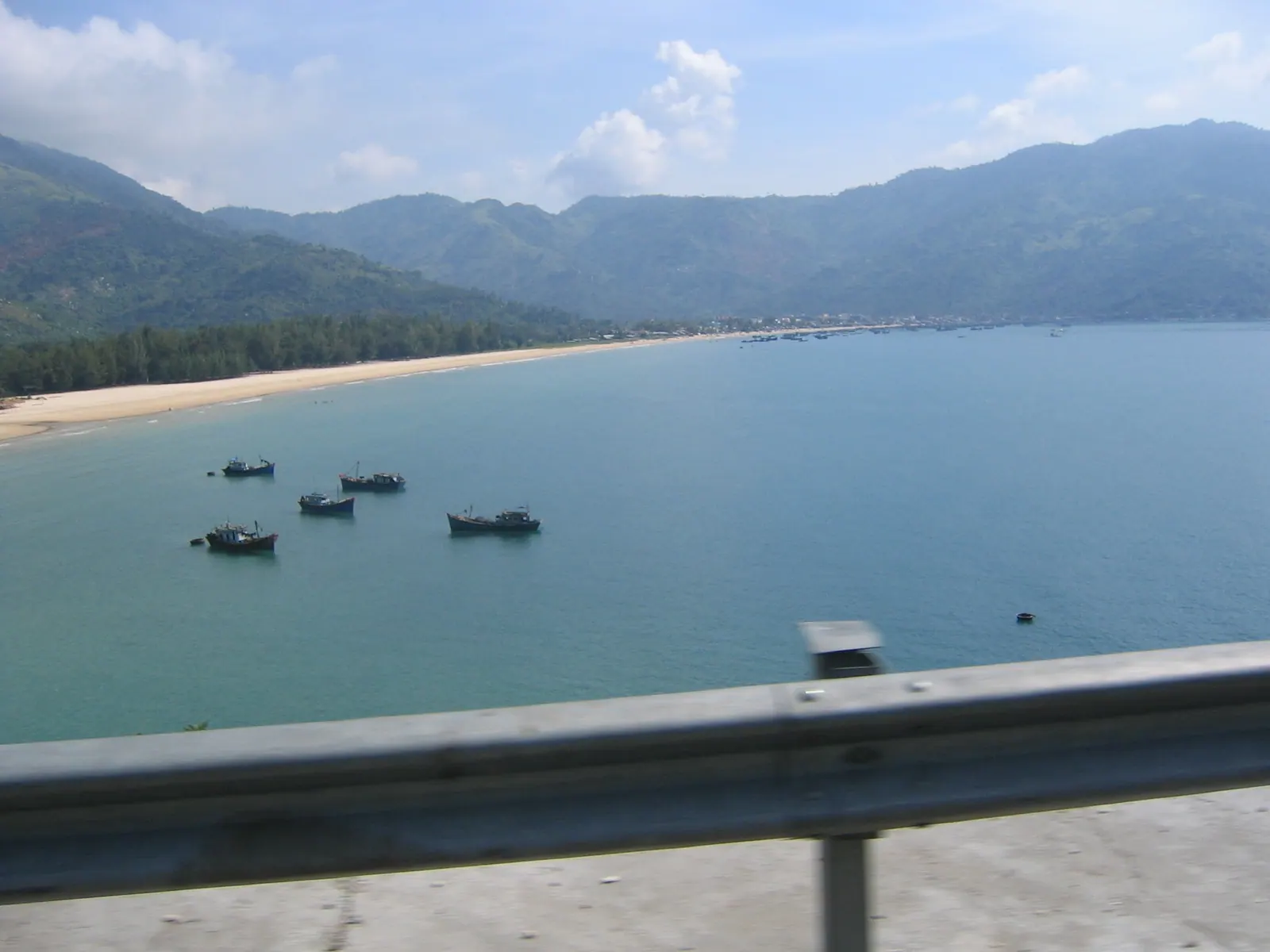
The resort strip begins a few kilometres north of Cam Ranh airport on Nguyễn Tất Thành boulevard, the beach is about 12 km north of the terminal by the Vietnamese Wikipedia figure, and roughly 15 km of resorts line the sand. The beach itself is public and free. The resorts own their frontage but not the beach, and the access points are the gaps between them: look for a sandy track with local motorbikes parked at the end rather than a gatehouse with a barrier. The resort beach clubs charge their own fees for loungers and pools, and I have never paid one.
The name comes from the very wide flat of sand that appears at low tide, and in this season that flat is the beach: a firm strip you can walk for an hour without passing anyone. The Cam Ranh Guide page on Bai Dai has the airport-side practicalities, including the resort fees I skip.
Can you swim?
Mostly not, which is the honest answer the brochures avoid. Vietnamese Wikipedia notes that the bathing season effectively runs about six months and that high water covers the bathing areas for the rest of the year. The rough-sea season runs roughly from the ninth lunar month to Lunar New Year, with big waves and strong wind. A red flag means a strong undercurrent and swimming is prohibited; on this coast that is a rule, not a suggestion.
If you want a swim in winter, the beaches ranked has the ones that still work, and the month by month post has the trade-offs. Surfers occasionally try Bai Dai in October, which surf-forecast lists as the prime month for an east-north-east swell with an offshore westerly, while noting that clean waves happen about 16 per cent of the time and it is blown out about 67 per cent of the time. I have watched, not paddled.
Where are the kites?
At the far northern end, which is the windiest, where the riders rig on the wide sand and launch into the cross-shore wind. November to March is the season. The InterContinental’s guide quotes lessons from around USD 50 an hour including equipment, but that is a hotel’s guide rather than a school’s price list, and this is the part I have to be careful about: no page I could find names a kite school operating at Bai Dai. The riders I have watched brought their own kit and their own van.
If kiting is the reason for the trip, confirm an operator exists for your dates before you book a flight, or plan on the Phan Rang kite season instead. Mỹ Hòa near Vinh Hy, about 60 km south, has four established centres and stronger, steadier wind, and is where I would send anyone who wants lessons.
What else is on the strip?
Between the resort walls, on the road side of the beach, there are still simple local shelters and seafood shacks with plastic chairs and a view of the sand. In the swimming season they are full of families from Cam Ranh; in the wind season they are half shut and the one that is open has the best seat on the coast. Prices are on a board or not at all, so ask before you order, and expect to pay for the shelter rather than the food if you bring your own.
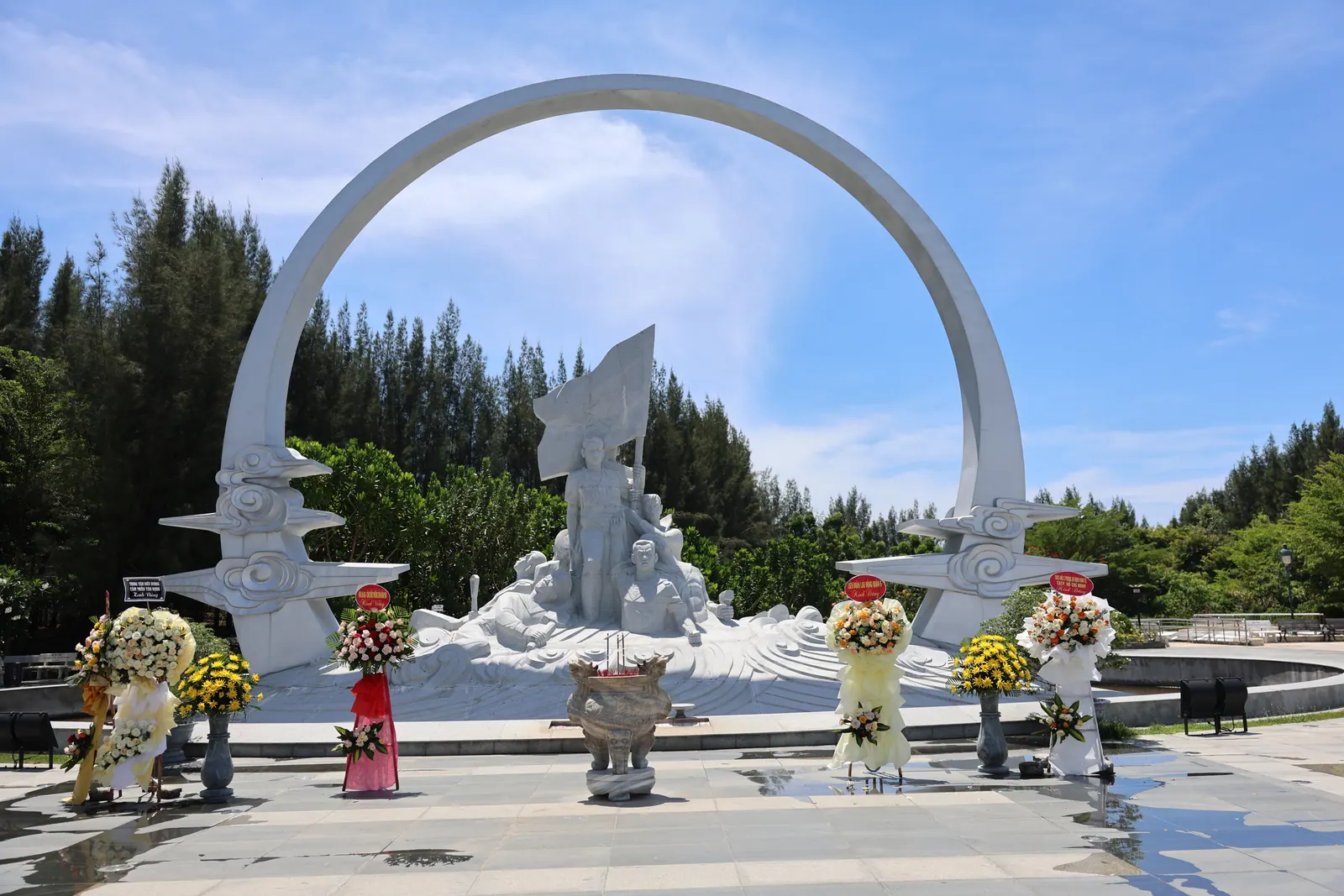
The Gạc Ma memorial is on the same boulevard at the Cam Lam end, free to enter since it opened in July 2017 and the one place on the strip I would call essential; the memorial post explains what it commemorates. The whole boulevard is also the first leg of the loop around the bay, which is a better use of a windy day than lying behind a windbreak.
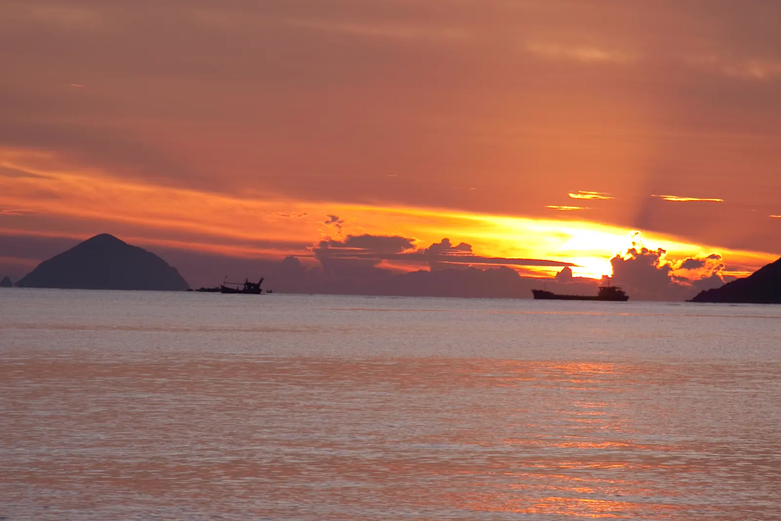
Field note: the wind drops for an hour around first light and the flat is at its widest on a falling morning tide. That hour, in February, is the best walk in Khanh Hoa.
Why I prefer it to the swimming season
In May the same beach is hot, still and full, and the resorts have their loungers out to the tideline. In February it is cool, loud with wind, and mine. The sand is hard enough to walk fast on, the light comes in low from the sea, and the kites at the north end give you something to walk towards. I have never once been asked to move on, and I have never once wanted to stay past sunset, because the wind gets cold, which is a sentence you do not get to write about many Vietnamese beaches.
What I’d do
- Go in the second half of January or in February, when the Cam Ranh station averages 24.4 mm and 10 mm of rain respectively and the wind is still running. Skip November unless you want the drama of a 319.6 mm month.
- Ride Nguyen Tat Thanh south from Nha Trang, or north from the airport, and park at a gap between two resorts where the local motorbikes are.
- Walk north on the low-tide flat towards the kite end; check the tide before you go, because on a high tide there is no flat at all.
- Eat at whichever shack is open, then stop at the Gac Ma memorial on the way back.
- Do not swim under a red flag, and do not fly in expecting a kite school unless someone has confirmed one for your dates.