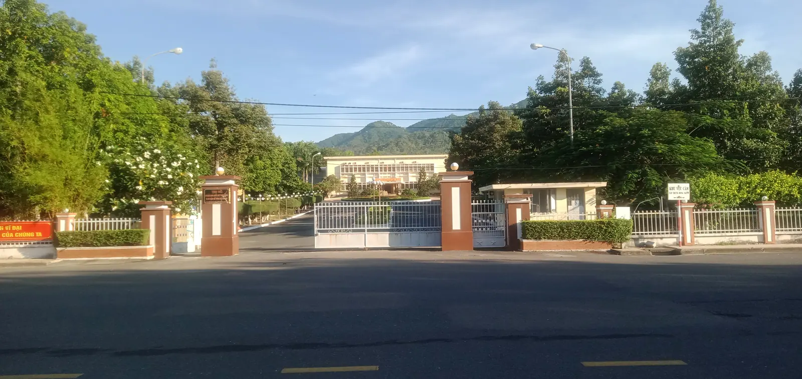
On 1 July 2025 Ninh Thuận stopped being a province and became the south of Khánh Hòa, the district tier disappeared across Vietnam, and Nha Trang, Cam Ranh, Ninh Hòa and Phan Rang stopped being cities and towns and became wards. The province I live in went from 194 communes, wards and towns to 65, and the country went from 63 provinces to 34.
For a visitor almost nothing changed on the ground. The streets kept their names and numbers, the plates on the road kept theirs, and the old ward names are still on the restaurant listings, the business cards and the map data. What changed is every address, every map label and every office with district or city in its name, and this is the page that keeps the dates straight.
What happened on paper, and when
Four instruments did it, and I keep their dates because the questions always arrive with a date attached.
Resolution 202/2025/QH15 of the National Assembly, passed on 12 June 2025 and effective the same day, merged the whole of Ninh Thuan into Khanh Hoa under the name Khanh Hoa, part of a national reduction from 63 provincial-level units to 34, being 28 provinces and 6 centrally run cities. The stated area at the merger was 8,555.86 km2 and the population 2,243,554. Resolution 203/2025/QH15 of 16 June 2025 amended the Constitution so that administrative units are provinces and the units below them, with districts ceasing to operate from 1 July 2025. Law 72/2025/QH15, passed the same day and in force from 1 July, set local government at two levels, provincial and communal, with communes, wards and special zones at the lower one. Resolution 1667/NQ-UBTVQH15 of the Standing Committee, signed on 16 June 2025, drew the new map of the merged province: 65 units, being 48 communes, 16 wards and 1 special zone. The new provincial government started work on 1 July 2025, after a ceremony on 30 June.
Where did Nha Trang city go?
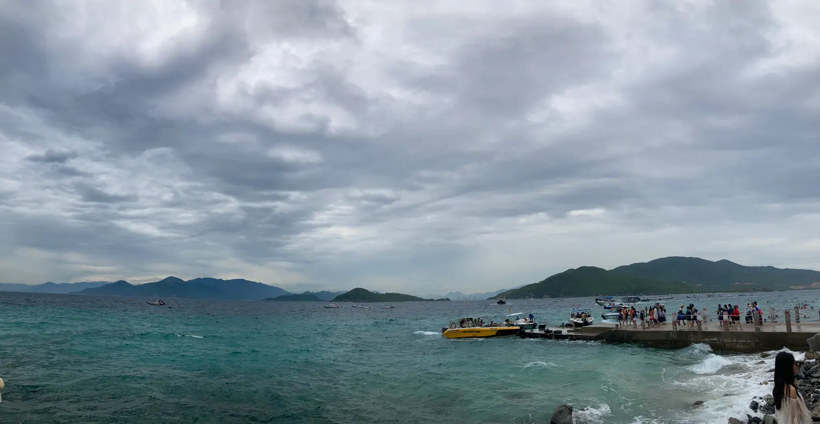
Into four wards. Nha Trang ward is the old centre: Van Thanh, Loc Tho, Vinh Nguyen, Tan Tien and Phuoc Hoa, 47.13 km2 with a 2024 population of 136,118. That figure is the ward, not the former city, and it gets misquoted. Bac Nha Trang took Vinh Hoa, Vinh Hai, Vinh Phuoc and Vinh Tho plus the communes of Vinh Luong and Vinh Phuong; Tay Nha Trang took Ngoc Hiep and Phuong Sai plus Vinh Ngoc, Vinh Thanh, Vinh Hiep and Vinh Trung; Nam Nha Trang took Phuoc Hai, Phuoc Long and Vinh Truong plus Vinh Thai and Phuoc Dong, so the tourist port and Hon Ro fishing port are now in Nam Nha Trang.
Nha Trang is still the capital. Resolution 60-NQ/TW of 12 April 2025 fixed the political and administrative centre in the existing Khanh Hoa, and the provincial chairman explained the choice by the city’s complete administrative infrastructure, its location and its urban potential. Two years in Nha Trang has what living through the change was like, which was mostly a matter of learning the new names.
Cam Ranh, Ninh Hoa, Phan Rang and Truong Sa
Cam Ranh had been a provincial city since 23 December 2010, 316 km2 with 134,100 people in 2024. It became four wards, Bac Cam Ranh, Cam Ranh, Cam Linh and Ba Ngoi, with a Nam Cam Ranh commune for the rural south, which is where Binh Ba and Binh Hung sit. Ninh Hoa town became the wards of Ninh Hoa, Dong Ninh Hoa and Hoa Thang, and the salt at Hon Khoi is in Dong Ninh Hoa now.
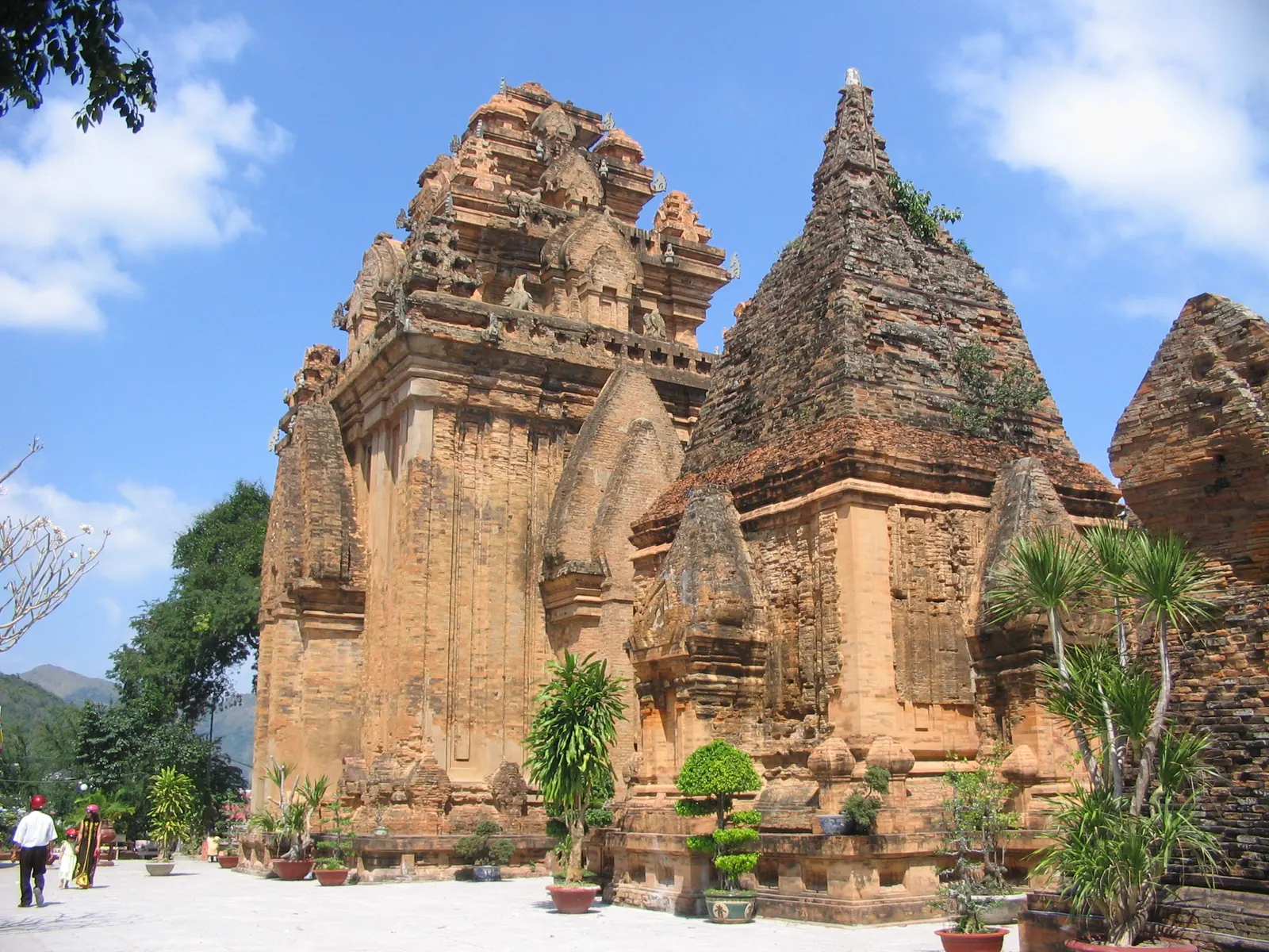
Phan Rang - Thap Cham, the former Ninh Thuan capital, 79.18 km2 with 245,623 people at the last year-end count before the merger, became five wards: Phan Rang, Dong Hai, Ninh Chu, Bao An and Do Vinh. The Po Klong Garai towers are in Do Vinh and the beach is in Ninh Chu, which matters when the map you are holding still says Ninh Thuan; a Cham day in Phan Rang uses the new names. Truong Sa, the Spratly islands, became a special zone, 9.35 km2 with a 2025 population of 153, formed from Truong Sa town and the communes of Song Tu Tay and Sinh Ton. There is no civilian tourism there, and the islands post says what there is instead.
Why old addresses and new maps disagree
An address now has three parts: the house number with the lane and street, or the hamlet, then the ward, commune or special zone, then the province. There is no district line and no city line. The tax authority’s own example is TDP Hoa Do 6A, Phuong Bac Cam Ranh, Tinh Khanh Hoa. Documents issued with old addresses remain valid, which is why nobody rushed to reprint anything: listings and business cards still carry Loc Tho, Vinh Hai and the rest, and the two systems will coexist for years.
Navigate by street number and street name, which did not change, and ignore the ward. Read every label that says Ninh Thuan as the south of the province, and every one that says Cam Lam district as the mango country north of the airport. The postal code is 65xxxx and the telephone code 258.
Plates, offices and who runs tourism now
Circular 51/2025/TT-BCA of the Ministry of Public Security, issued on 30 June 2025 and in force from 1 July, gives the merged province both plate codes, 79 for the old Khanh Hoa and 85 for the old Ninh Thuan. A bike with an 85 plate in Nha Trang is a local bike. I found no rule in the circular’s text requiring an existing plate to be changed, and I see both on the road every day.
Provincial offices are in Nha Trang. The immigration division of the provincial police gave its counter as 47 Ly Tu Trong in a notice of 26 June 2025, while the police public-service page lists the division at 80 Tran Phu; both are quoted, so check before a special trip. The July 2024 directive on the islands came from a Department of Tourism; the June 2026 one came from the Department of Culture, Sports and Tourism, which is now the name on the orders for the whole province, south included. The tourist information centre at 61 Yersin in Nha Trang covers the former Ninh Thuan too.
The table
| Before 1 July 2025 | Since 1 July 2025 |
|---|
| Ninh Thuan province | The south of Khanh Hoa province |
| 63 provincial-level units in Vietnam | 34: 28 provinces and 6 centrally run cities |
| Nha Trang city | Nha Trang, Bac Nha Trang, Tay Nha Trang and Nam Nha Trang wards |
| Cam Ranh city | Bac Cam Ranh, Cam Ranh, Cam Linh and Ba Ngoi wards; Nam Cam Ranh commune |
| Ninh Hoa town | Ninh Hoa, Dong Ninh Hoa and Hoa Thang wards, plus communes |
| Phan Rang - Thap Cham city | Phan Rang, Dong Hai, Ninh Chu, Bao An and Do Vinh wards |
| Truong Sa district | Truong Sa special zone |
| Districts such as Van Ninh, Dien Khanh, Khanh Vinh, Khanh Son and Cam Lam | Abolished; their communes answer to the province |
| 194 commune-level units | 65: 48 communes, 16 wards, 1 special zone |
| Plate code 79 (Khanh Hoa), 85 (Ninh Thuan) | Both are Khanh Hoa |
What I’d do
Write addresses the new way when a form asks for one, keep saying the old names when a taxi driver does, and stop correcting anyone. If a booking names a ward, check the street and the number instead. If you need a provincial office, it is in Nha Trang, and a phone call first saves the 95 km from Phan Rang. Treat the merger as what it is for a traveller: a bigger province with about 490 km of coastline and one tourism department, where the dry south and the wet north now share a name.
For how the province came to be this shape, the short history of Khanh Hoa starts in 1653 and ends with this page.