Khánh Hòa was Cham country called Kauthara, became Vietnamese in 1653, was named Khánh Hòa in 1832, was made a base by three navies in turn, was joined with Phú Yên from 1975 to 1989, and absorbed Ninh Thuận in 2025. That is the short version.
The longer one is below: the dates, each with a place you can stand in this week, from the Po Nagar towers above the river in Nha Trang to the citadel gates at Diên Khánh, Yersin’s tomb at Suối Dầu, the bay at Cam Ranh and the Gạc Ma memorial on the airport road. I have put my own reactions in between, because a list of dates is not a reason to go anywhere.
Before 781: Kauthara and the goddess on the hill
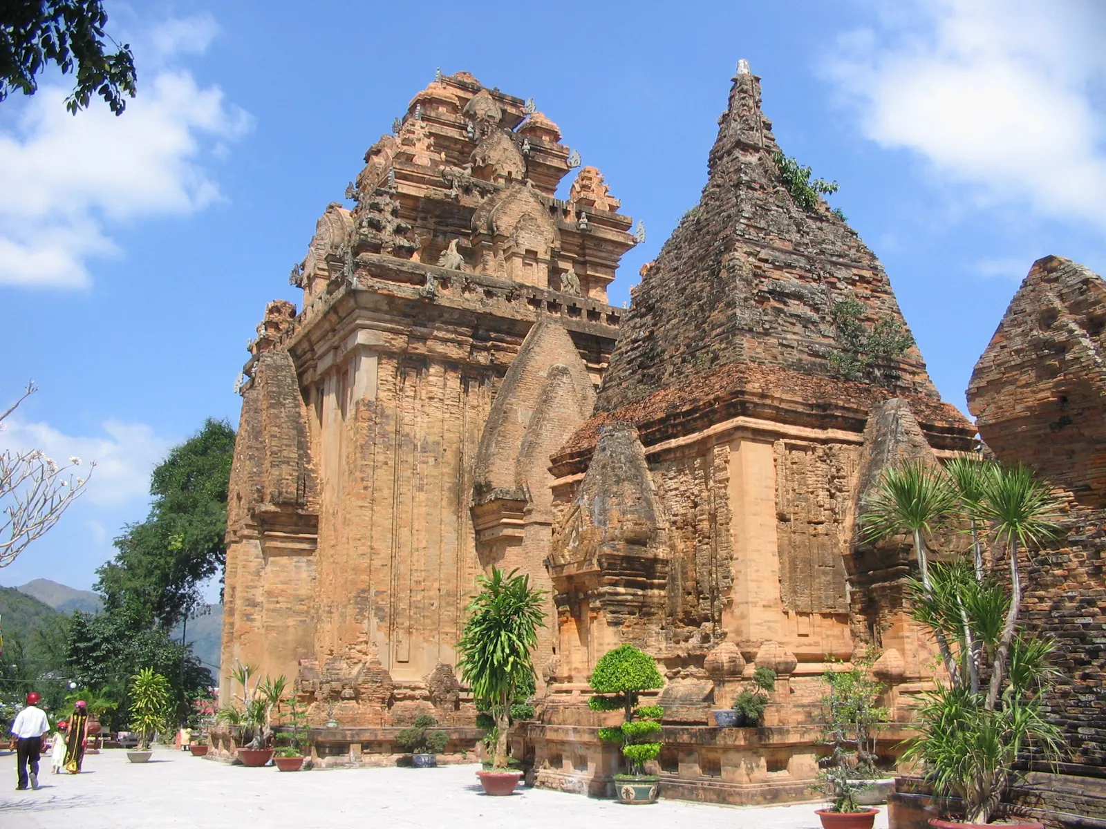
The coast around Nha Trang was Kauthara, a principality of Champa, and its temple to the goddess Yan Po Nagar stands on Cù Lao hill above the mouth of the Cái river. It was founded before 781: a stele of that year records King Satyavarman restoring a temple devastated by a raid, the linga was restored in 784, a golden statue was stolen in 950 and replaced in stone in 965, and building went on into the 13th century. The main tower is about 25 m high. When the Vietnamese took the coast in the 17th century they absorbed the goddess as Thiên Y Thánh Mẫu, and the towers have never stopped being a temple: entry was 30,000 VND an adult and 15,000 VND a child in 2026, the festival runs on the 20th to 23rd days of the third lunar month (26 to 29 April in 2027), and the best photograph is from the Xóm Bóng bridge.
The Cham themselves are now mostly in the south of the province, around Phan Rang, where the Po Klong Garai towers of the late 13th to early 14th century are the best preserved in Vietnam and the Kate festival opens on the first day of the seventh Cham month, 20 and 21 October in 2025. A Cham day in Phan Rang is the second half of this chapter.
1471 to 1653: a frontier, then a Nguyen province
For nearly two centuries the Cả pass, where Highway 1 crosses the mountains north of Đại Lãnh, was the border between Đại Việt and Champa, from 1471 to 1653. In 1653 the Nguyễn lord Nguyễn Phúc Tần sent Hùng Lộc south with 3,000 troops and created the dinh of Thái Khang, with the prefectures of Thái Khang and Diên Ninh. The names then shuffled the way names here do: Bình Khang from 1690, Bình Hòa from 1803, and Khánh Hòa under Minh Mạng in 1832, or 1831 by some accounts. Stand on the old pass road, which motorbikes still use because they are barred from the 2017 tunnel, and you are on the line.
1793: the citadel at Dien Khanh
In 1793 Nguyễn Ánh, the future Gia Long, beat the Tây Sơn at Dien Khanh and built a Vauban-style citadel there, 10 km west of Nha Trang beside Highway 1: about 36,000 m2 inside a 2,693 m earthen rampart about 3.5 m high, a moat 3 to 5 m deep and 20 to 30 m wide, and six gates, of which four survive after the Left and Right gates were sealed in 1823. It was the provincial seat from 1802 to 1945 and a national relic from 1988. A restoration that began in early 2025 was about 75 percent complete in September 2026, moat dredged and gates done, with a target of 31 October 2026, so expect works. The gates stand on the town’s streets and cost nothing; an afternoon at the Dien Khanh citadel is the walk.
A few kilometres north, Am Chúa on Đại An hill is where local tradition, recorded on an 1856 stele at the towers, says the goddess spent her childhood. Its festival is the 1st to 3rd of the third lunar month, 17 to 19 April in 2026, and it keeps more of the old ceremony than any other in the province.
1891 to 1943: Yersin
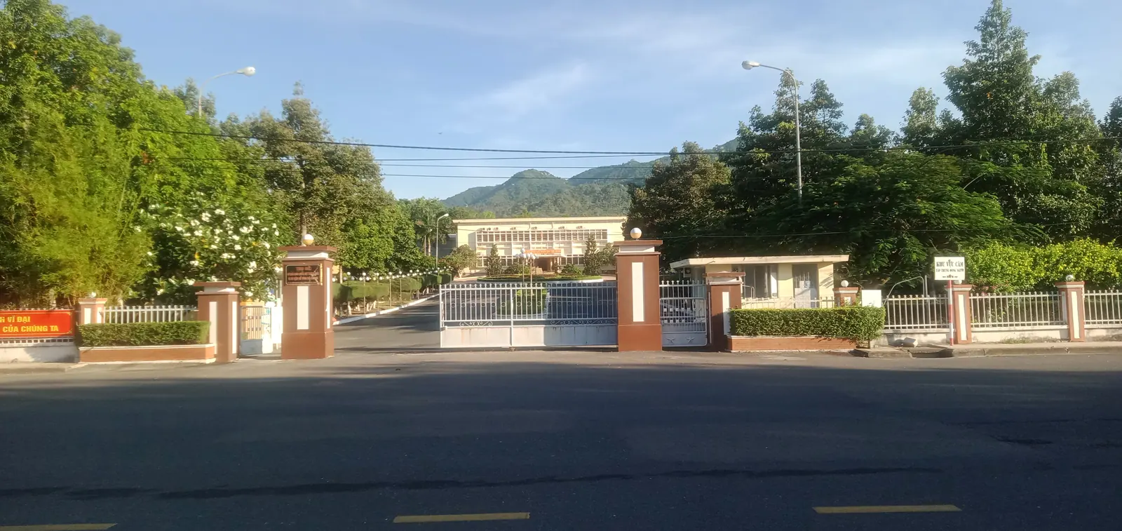
Alexandre Yersin left the shipping line and settled in the fishing village of Xóm Cồn in Nha Trang in 1891. He isolated the plague bacillus in Hong Kong in June 1894, built a serum laboratory in Nha Trang in 1895 that became a branch of the Pasteur Institute in 1905, bought land at Suoi Dau in 1896 for an agricultural station, and in 1915 set up a research station at about 1,500 m on Hòn Bà, where the province has rebuilt his wooden house. He died at home on 1 March 1943 and was buried, as he asked, at Suoi Dau, where the tomb is kept with a small shrine.
His museum is on the second floor of the Pasteur Institute at 6-8-10 Trần Phú, 20,000 VND in 2026, open mornings Monday to Saturday and weekday afternoons, closed over lunch and all day Sunday, which is the most common wasted trip in the city. The mountain is in Hon Ba, the mountain where it gets cold.
1941 to 1975: Cam Ranh bay and the wars
Cam Ranh bay, about 32 km long and 18 to 30 m deep, is why the province has been fought over. The French navy used it; the Japanese navy staged the invasions of Malaya and Borneo from it in 1941 and 1942, and in January 1945 an American task force destroyed most of what the Japanese had built there. After the Vũng Rô incident of February 1965 the United States turned the bay into a major base, finishing a 10,000 ft runway in about 50 days by October 1965, and handed it to South Vietnam in May 1972.
Ninh Hòa, Nha Trang and Cam Ranh were taken on 1, 2 and 3 April 1975. 2 April is the province’s liberation day, marked at the square of that name on the Nha Trang seafront, where about 70,000 people came for the 50th anniversary on 2 April 2025. From 1975 to 30 June 1989 the province was merged with Phu Yen as Phú Khánh.
1979 to 2016: the Soviets, Gac Ma and the navy
The Soviet Union signed a 25-year lease on the bay in 1979 and by 1987 had made it its largest overseas naval base; Russia finished leaving on 2 May 2002. On 14 March 1988, 64 Vietnamese naval soldiers were killed defending Gac Ma reef in the Trường Sa archipelago, which the province has administered as a district since 28 December 1982 and as a special zone since 1 July 2025. Their memorial stands on the airport road at Bãi Dài, opened on 15 July 2017 and free to enter, with an underground hall and wind graves carrying all 64 names; a Truong Sa museum broke ground beside it on 29 April 2026 for completion in early 2028.
The bay is now the Vietnam People’s Navy’s main base. Cam Ranh International Port opened to foreign warships on 8 March 2016, and since 1 January 2025 photographing or filming defence works and military zones has been a matter of criminal law, so the history is read from the shore. The Gac Ma memorial and Truong Sa is the visit.
2001 to 2026: the bay, the merger and the islands
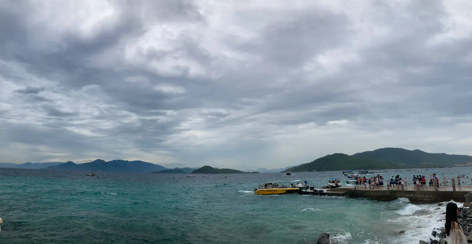
Hòn Mun became Vietnam’s first marine protected area in 2001, Nha Trang bay joined the Most Beautiful Bays of the World club in 2003 as its 29th member, and Cam Ranh became a city on 23 December 2010. Then the shape changed again. On 1 July 2025 Ninh Thuan merged into Khanh Hoa, the districts and the cities were abolished, and the province became 65 commune-level units: 48 communes, 16 wards and the Truong Sa special zone. On 4 June 2026 the province ordered every tour to Bình Ba and Bình Hưng stopped, because the islands sit inside the security belt of the base. The 2025 shake-up and which islands you can still visit carry the story to this month.
The dates in one table
| Date | What happened | Where to stand |
|---|
| Before 781 | Po Nagar founded; the stele of 781 | Po Nagar towers, Nha Trang |
| Late 13th to early 14th century | Po Klong Garai built | Do Vinh ward, Phan Rang |
| 1471 to 1653 | The Ca pass is the Dai Viet and Champa border | The old pass road above Dai Lanh |
| 1653 | Hung Loc’s 3,000 troops; the dinh of Thai Khang | Dien Khanh |
| 1793 | The citadel built | The four gates, Dien Khanh |
| 1832 | Named Khanh Hoa under Minh Mang | Anywhere with a sign |
| 1891 to 1943 | Yersin in Nha Trang | Pasteur Institute, Suoi Dau, Hon Ba |
| 1965 to 1972 | The American base at Cam Ranh | Bai Dai and the bay |
| 2 April 1975 | Liberation day | 2 April Square, Nha Trang |
| 14 March 1988 | Gac Ma | Gac Ma memorial, Bai Dai |
| 2 May 2002 | Russia leaves the bay | The shore at Ba Ngoi |
| 1 July 2025 | Ninh Thuan joins; districts abolished | Everywhere |
What I’d do
In one day from Nha Trang: Po Nagar before 08:30 to beat the coaches, the Yersin museum before it shuts at 11:30, the citadel gates at Dien Khanh in the afternoon light, and the 2 April Square at dusk. On the way to the airport, an hour at the Gac Ma memorial, quiet in the underground hall. With a night in the south, Po Klong Garai early in the morning and, if it is late October, the Kate procession the day before. Go in that order, because it is the order the province happened in.