Điệp Sơn is three small islands in Vân Phong Bay, about 60 km north of Nha Trang, and the reason to go is a strip of sand that joins two of them at low water and lies about a metre under the sea at high water. Whether you walk it or wade it depends on the tide, not the weather, and the tide follows a rule that fits on one line: in the first half of the lunar month the water falls in the afternoon; in the second half it falls in the morning. I got this wrong once and arrived to a path that was not there.
Boats leave from Vạn Giã pier from about seven in the morning until midday, 100,000 to 300,000 VND return per person depending on the boat and the year, and December to June is the season. Everything else in this post is detail on those three sentences.
When does the path appear?
The rule above comes from a Vietnamese travel account published in 2025: lunar days 1 to 15, the water falls in the afternoon; lunar days 16 to 30, it falls in the morning. Two English accounts add texture without contradicting it. One saw the bar exposed as early as six in the morning; the other says it is most exposed in the afternoons, which is why the tour groups land around lunch. Both are consistent with a tide that moves about 50 minutes a day, which is what a lunar rule is.
So the method is this. Look up the lunar date, use the rule to decide whether you want a morning or an afternoon, then check a tide table for Van Phong Bay for the actual hour of low water. You want low water somewhere between late morning and early afternoon, because the boats stop leaving Van Gia around midday and you need to be on the island before the water drops, not after. At high tide the bar is about a metre under. You can still get across; it is a wade with the bag held up, and it is not what you came for.
| Lunar day | Water falls | Plan for |
|---|
| 1 to 15 | Afternoon | A late morning boat, the bar after lunch |
| 16 to 30 | Morning | The first boat, the bar before the heat |
How do you get to Van Gia, and what do the boats cost?
Van Gia was the district town of Vạn Ninh and since 1 July 2025 has been the centre of the new Van Ninh commune. It is about 60 km up QL1 from Nha Trang, 60 to 90 minutes on a motorbike, and the truck traffic on that road is the only unpleasant part of the day. There is a local bus from the city bus station, and the sister guide’s page on bus stations and sleeper buses has the station. Ga Giã, the railway halt, is 26.5 km north of Ninh Hòa station; which trains stop there I have not verified.
At the pier, tickets are sold at tables by the port. The 2025 Vietnamese account and the 2026 English one give slightly different prices, so here are both.
| Item | 2025 (Vietnamese travel blog) | 2026 (Vietnam Coracle) |
|---|
| Speedboat, return, per person | 200,000 to 300,000 VND | 200,000 VND |
| Wooden boat, return, per person | 100,000 to 150,000 VND | 100,000 VND |
| Day tour with boat, guide and lunch | 400,000 to 700,000 VND per person | not listed |
| Motorbike parking at the pier | not listed | 10,000 VND a day |
| Island entrance fee | none documented | none documented |
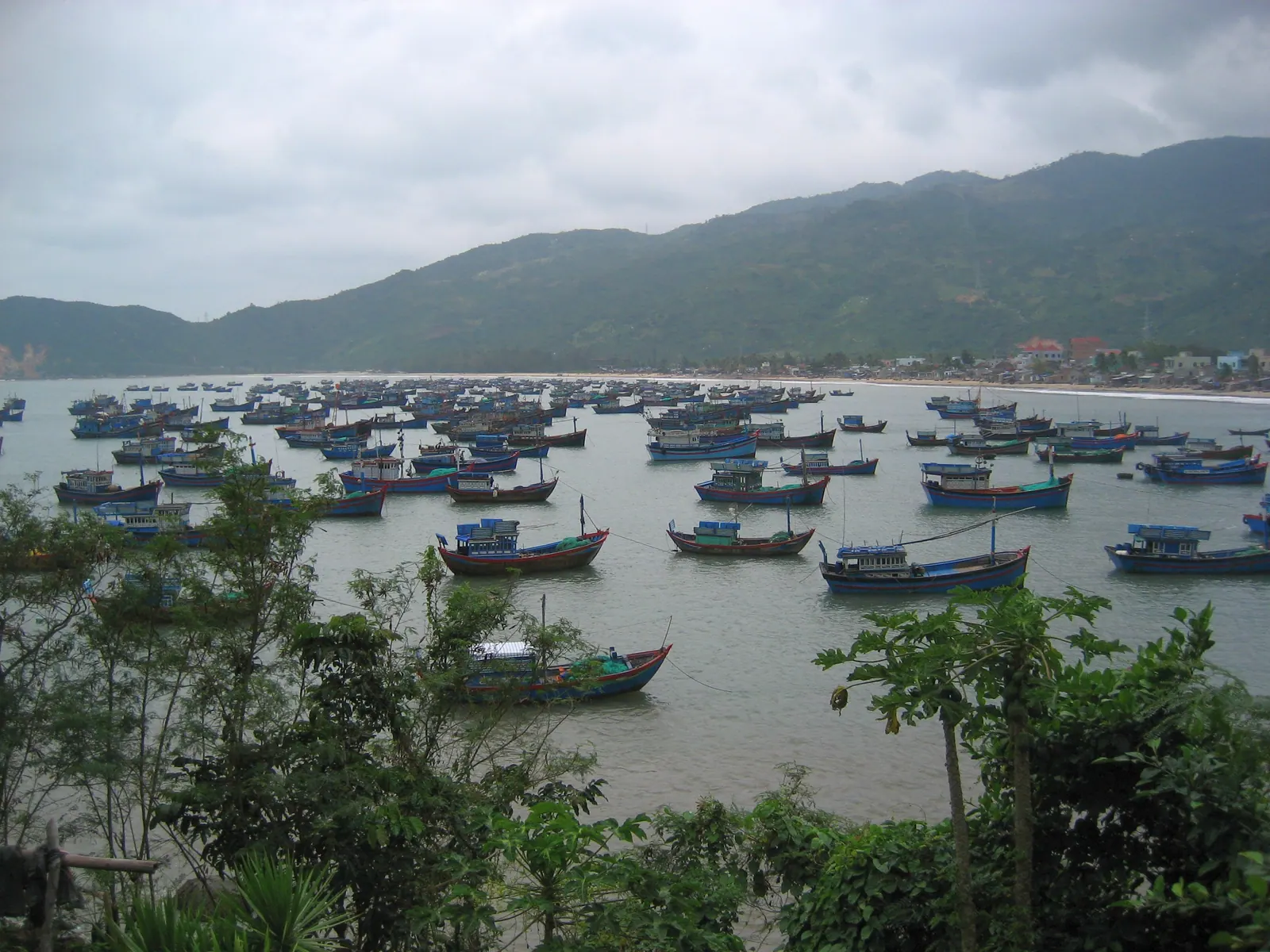
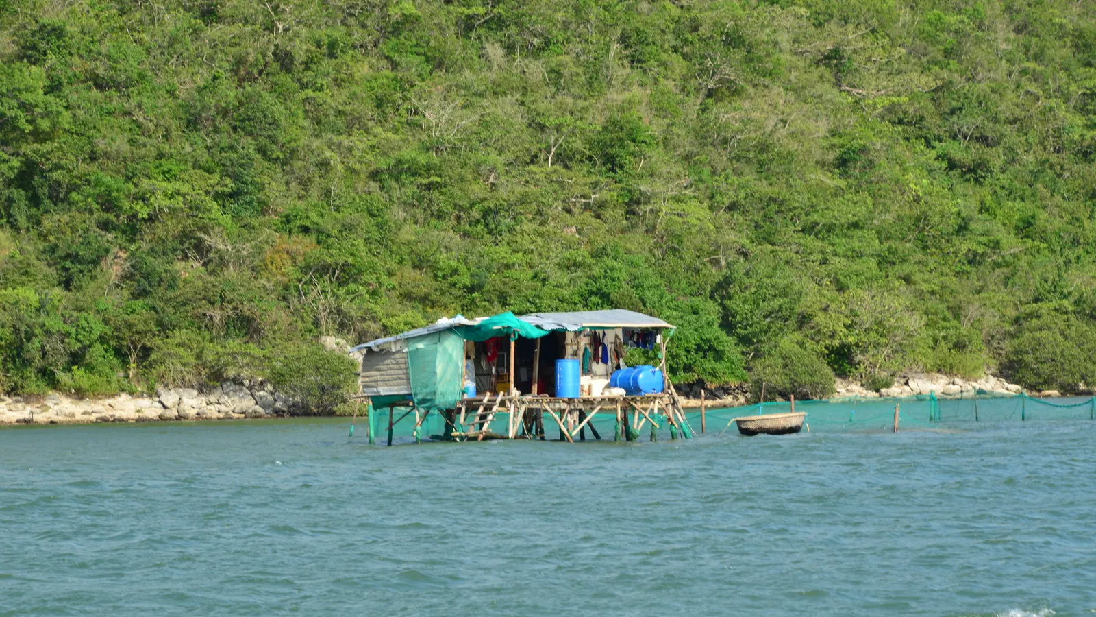
The speedboat takes under twenty minutes, the wooden boat 30 to 45. I take the wooden boat when I am not in a hurry, because the crossing runs past the lobster rafts, and the rafts are half the point of Van Phong Bay: about 35,000 cages sat in the northern bay by an April 2024 count. The bay itself, its size and what is being built on its shores, is in Van Phong Bay explained.
How long is the sandbar, and what is on the island?
I have two published lengths and they disagree by a factor of two. The 2025 Vietnamese account says nearly a kilometre, 1 to 3 m wide. Vietnam Coracle says about 500 m, around 8 m wide near the island and narrowing to 2 or 3 m further out. I have walked it more than once and I am not adding a third number, because how much sand you see depends on how far the tide has dropped, and both writers were describing a real afternoon. Call it several hundred metres of white sand with the bay on both sides.
The main island, Hòn Bịp, is inhabited: a fishing village of more than 100 households, about 300 people. That matters in two ways. It means there is somewhere to eat and someone to ask about the boat back. It also means there is no ATM and almost nothing to buy, so the cash, the water and the shade come with you. The tent and cabin business by the pontoon pier is the overnight option: a beach dome tent for two at 200,000 VND, a stilted bamboo cabin at 400,000 VND, nothing if you bring your own tent, all by the 2026 account, booked in person rather than online.
Which months work?
| Months | The bay | My reading |
|---|
| December to February | Dry and calm by the 2025 account; the coolest part of the dry season | The best light and the fewest excuses |
| March to June | Still in season; the coast is dry from January to August | Hot on the bar by noon, so time the tide for the morning half |
| July and August | Dry, but the 2025 account already says avoid | I have gone; it was fine and I would not promise it |
| September to November | The north-east monsoon; October and November bring 302 and 332 mm to the Nha Trang station, and the typhoon window runs to about 10 December | No boats worth taking, and no bar worth seeing |
The 2025 account says avoid July to November outright; the search snippets narrow that to September to November. The difference is the wind. In the summer months the bay is usually flat enough; from September the swell comes in through the 17 km wide mouth and the boatmen stop going.
The day I got the tide wrong
I went in the first half of a lunar month, took the first boat because that felt like the sensible thing, and stood on the beach at Hon Bip looking at water with no path in it. The boatman was unbothered; he had seen this before. I waded part of it, gave up, swam a little, and watched the bar start to show around the time the last boats were heading back to Van Gia. I had read that the path exists at low tide. I had not read when low tide was.
Since then I check the lunar date first and a tide table second, and I have not missed it again. The path is not a mystery; it is arithmetic, and the arithmetic is above.
Field note: the water over the bar at mid-tide is warm and waist-deep, and the sand under it is firm. Crossing it wet is possible. Crossing it with a phone in your pocket is how phones end up in Van Phong Bay.
What I’d do
- Pick the date by the lunar rule, then confirm low water on a tide table for Van Phong Bay. Aim for low water between late morning and early afternoon.
- Leave Nha Trang by seven, ride the 60 km to Van Gia, park at the pier and buy the ticket at the table. Be on a boat by nine.
- Swim while the water drops, walk the bar at low water, eat in the village or from the bag.
- Agree the return with the boatman before he leaves; boats thin out after midday.
- Or stay the night in a tent and walk the bar again at the other low water, when there is nobody on it.
If you have one boat day in the province and you are choosing, Diep Son against the city’s four-island trip is the choice I would make in a minute, and is the four-island boat trip worth it explains the other side. For the wider list of what you can still land on, see which Khanh Hoa islands you can actually visit; Diep Son is on it, and it is the cheapest entry.