The loop is 10 km out to the Diên Khánh citadel on đường 23 tháng 10, north through the rice of Diên Điền to the foot of Am Chúa, east along the lanes beside the Cái river and back into Nha Trang over the Xóm Bóng bridge. It takes me about three hours with a coffee and a walk through a citadel gate, on an ordinary rental scooter, and it is the ride I give people who ask whether there is anything near the city that is not the city.
When the fields are green is a calendar question, and the calendar is below. Short version: the winter-spring crop is in the ground from late October to April and the summer-autumn crop from late April to early September, so the plain is greenest in the middle of each and stubble and smoke in between.
What is the route?
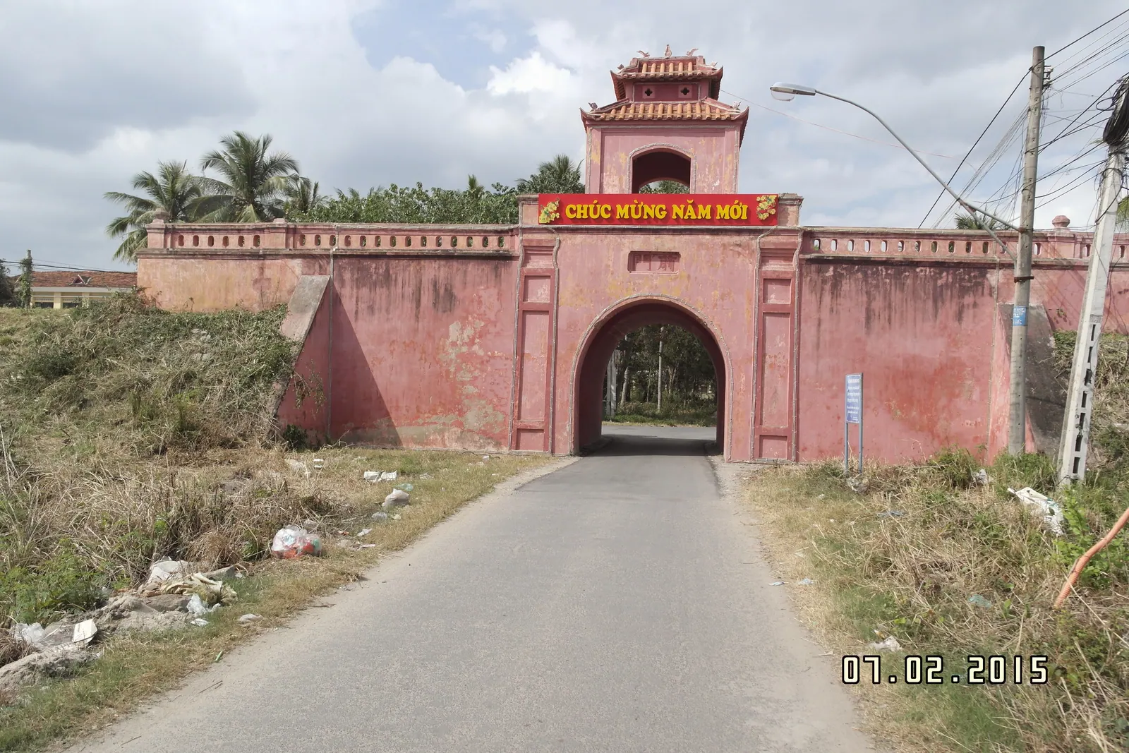
Out of the city west on đường 23 tháng 10, which becomes National Route 1 and runs into Diên Khánh town at 10 km, the one distance on this loop I can give you from a source. The citadel is in the town, four gates on the streets and a restoration due to finish by 31 October 2026; an afternoon at the Dien Khanh citadel has the detail, and on this loop I walk one gate and the stretch of rampart beside it and leave the rest.
From the town, turn north for Diên Điền. The lanes leave the highway noise behind within a minute and run between fields on raised banks, with the hill of Am Chúa ahead as the fixed point; the shrine at the top and the goddess it belongs to are in Am Chua and Thien Y A Na. The lanes have numbers on the map that nobody uses. Navigate by the hill and the river instead: the hill is the marker to the north, the river is the way home to the east, and every lane in between meets one or the other eventually.
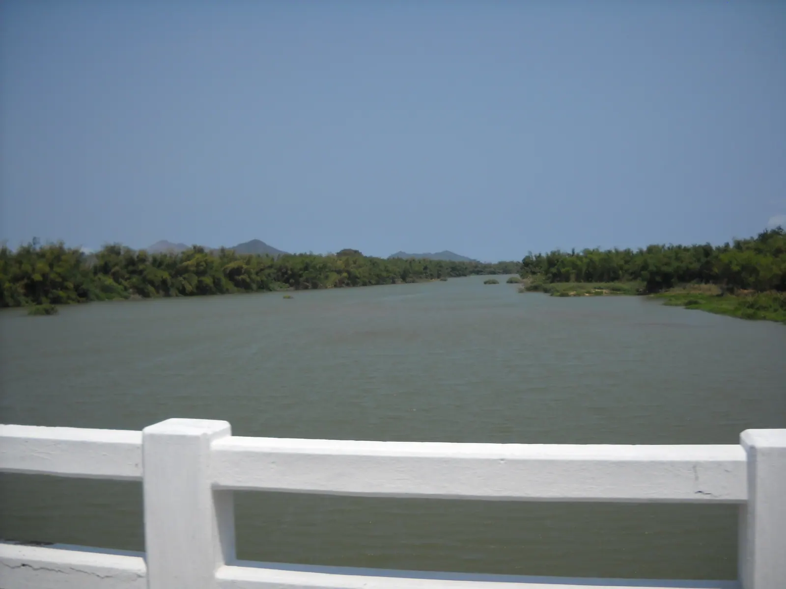
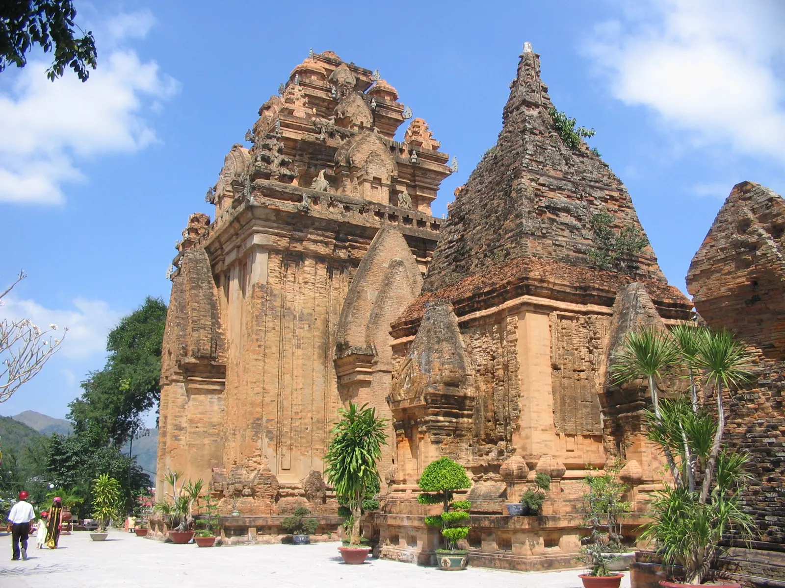
The river is the way home. The Cái runs east from Diên Khánh to the sea at Nha Trang, and lanes follow it through gardens and villages, past the point in Vĩnh Ngọc ward, at Xuân Lạc, where it splits into channels that rejoin at Cồn Dê before the mouth. You come out at the Xóm Bóng bridge with the Po Nagar towers above you and the fishing boats below, which is a good place to end anything. I have no fetched distances for the field and river lanes and I am not going to guess them; they are short, flat and paved, apart from the odd field track that turns to concrete slabs and then to earth.
When are the fields green?
The plain between the town, Diên Điền and the river grows two crops a year on the calendar the central coast uses. I have not found a Khánh Hòa-specific timetable published, so this is the general one from a Vietnamese farming page, checked against what I have seen from the saddle:
| Months | Crop stage | What the plain looks like |
|---|
| Late October to December | Winter-spring crop sown | Flooded mud, seedlings, herons |
| January to February | Winter-spring growing | Green, the best months |
| March to April | Winter-spring harvest | Gold, then stubble, then smoke |
| Late April to May | Summer-autumn crop sown | Flooded again, brown and silver |
| June to July | Summer-autumn growing | Green again, in harder light |
| Late August to early September | Summer-autumn harvest | Gold and stubble before the rains |
Two things to know. The fields are not synchronised: one is stubble while its neighbour is knee-high, because sowing dates spread over weeks, so there is always something green somewhere. And the province’s 2026 winter-spring crop, 36,410.1 ha of it, was being harvested in the first quarter of the year, which fits the calendar; Báo Khánh Hòa reported a yield of 73.11 quintals per hectare that April, up more than five on 2025, which is more than a visitor needs to know but tells you the plain is serious farmland, not scenery kept for tourists.
The rain matters more than the crop. The Cái basin takes 73 percent of its annual flow between October and December, and the lanes along the river flood in a bad week; the month-by-month guide has the coastal rain figures. I ride this loop from January to August and leave it alone in October and November.
Can you add Suối Đổ or Suối Tiên?
Suối Đổ, yes, as a second half, though it turns a morning into a day. The pagoda sits on the west flank of Hoàng Ngưu mountain in Suối Hiệp commune, more than 200 m above sea level and a little over 30 km south of Nha Trang, so it is not on the loop but off the same highway further on. From the turn it is about 20 minutes on foot up more than a hundred cement steps beside the stream, which drops in falls and pools. Allow 2 to 3 hours. The falls are fullest in September and October, when the current is too strong to bathe in; the dry months are for the pools. It is busiest on the 8th, 18th and 28th days of the first lunar month, and the rocks are slippery whenever they are wet.
Suối Tiên, the other Diên Khánh stream, I am leaving out. I have no fetched source for it beyond a line in a search result, so I cannot give you a distance, a fee or a season, and I will not guess at any of them.
Field note: the loop is better anticlockwise. Out to the town by the highway while the trucks are still sleepy, back along the river with the sun behind you. Clockwise you ride into the light on the field lanes and the towers are silhouettes when you reach them.
Where do you stop?
Coffee in the town, at any of the cafés near the gates, before the fields. Bánh ướt on the strip on the way in if you left early enough; that is bánh ướt in Dien Khanh, and it is a breakfast, so it decides your start time. On the river lanes there are garden cafés with hammocks facing the water, which is where the loop stops being a loop and becomes an afternoon; I have not named one because they change, and because the point is the water, not the shop.
Fuel is in the town and along 23 tháng 10; there is nothing on the field lanes. Any rental scooter does it; the Nha Trang Guide’s motorbike rental page has prices and the licence question, which I leave to it. If you want the river rather than the fields, the same lanes go the other way, upstream, which is following the Cai river upstream.
What I’d do
- 06:30, out on đường 23 tháng 10. Bánh ướt on the strip at 07:00.
- 07:30, the citadel’s east gate and the rampart beside it, a quarter of an hour.
- 08:00, north through Diên Điền. Stop where the lane meets the first big field with the hill behind it; that is the photograph. Am Chúa’s steps if you have the legs.
- 09:00, east along the river lanes, coffee at a garden café on the bank.
- 10:00, the Xóm Bóng bridge, then home before the heat. Or, with a whole day, back onto the highway south for Suối Đổ and its pools.
This loop is my answer to the question in is Nha Trang too touristy: the city is, on its front street, and ten kilometres inland nobody has noticed.