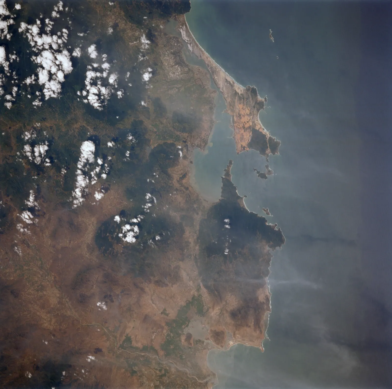
If you wanted Bình Ba and have read why I am not writing a guide to it, Bình Lập is the answer. It is a narrow peninsula reaching into the south side of Cam Ranh bay, in the same commune as the banned islands, with the same shallow clear water and the same lobster rafts, and you get there on a motorbike. No boat, no permit, no tour company, and no document from the province with its name in it.
It is about 50 km from Cam Ranh airport and about 80 km from central Nha Trang according to a May 2026 guide, which makes it a proper weekend rather than a day trip from the city. Two days is right. One is a lot of riding for a swim; three and you have seen every bay twice.
Where is Binh Lap, and how do you get there?
Binh Lap sits in Nam Cam Ranh commune, which was formed on 16 June 2025 from the old Cam Lập, Cam Bình, Cam Thịnh Đông and Cam Thịnh Tây communes. From the Cam Ranh side you ride south through Ba Ngòi on QL1A, past the salt pans, and turn east through Cam Lap along the Hoàng Sa road, which runs out along the headland to the village at the end. That is the way I have always come, and it is the way I would send you.
There is a second approach that I have not ridden. VOV described the coastal route from Vinh Hy north through Bãi Kính, Bãi Nước Ngọt and Bình Tiên as ending at Binh Lap, about 60 km from Phan Rang. Nothing I read says what the surface is like on the last stretch between Binh Tien and Binh Lap, so if you come that way, come in daylight. The Nui Chua coast road covers the southern part of that route.
| From | Road distance | Source |
|---|
| Nha Trang centre | about 80 km | mia.vn, May 2026; vexere, June 2025 |
| Cam Ranh airport | about 50 km | mia.vn, May 2026 |
| Cam Ranh town | about 40 km | vexere, June 2025 |
| Phan Rang, by the coast road via Vinh Hy and Binh Tien | about 60 km | VOV, July 2025 |
The two guides disagree by about 10 km on the airport figure, which tells you they measured from different places. Either way, allow most of a morning from Nha Trang on a motorbike.
Is it really legal, given the island ban?
As far as anyone can tell, yes. The June 2026 order names Binh Ba, Hòn Chút (Binh Hung) and the Mũi Hời area. Decision 04/2025/QĐ-TTg, the base security regulation it relies on, names the same three places at Article 21 clause 1. Binh Lap is not in either document, and no source I found reports any restriction on it.
What I could not establish is where the outer edge of the base’s security belt runs, or whether the peninsula lies inside it. Nobody has ever stopped me on the road, and the camps and homestays operate in the open. My rule is to obey any military signage, stay on the public road and the beaches, and keep the camera pointed at the water rather than at anything grey and moored. That is not caution for its own sake; since 1 January 2025 filming military zones has been a matter for the criminal law.
What are the beaches like?
A string of small bays rather than one long beach. The 2026 guide lists Bãi Bình Châu, Bãi Ngang, Bãi Lao, Bãi Rạn and Bãi Cồn; the 2025 one calls the main beach Bãi Bình Lập and puts Bai Ngang about 2 km north of it and Bai Binh Chau about 5 km west. On the headland before you reach the peninsula proper, the Cam Lập promontory is a run of boulder points and rocky coves looking straight out of the bay mouth, with very little built on it.
The water is the reason to come. It is shallow a long way out, clear enough to see your feet on the sand, and sheltered from the open sea by the shape of the bay. At low tide you walk out further than feels reasonable. The rock at the edges of the coves is sharp, and reef shoes are the one piece of kit I would not leave behind.
Most of the beaches that are easy to use belong to a camp or a small resort, and each charges its own day-use fee for a shelter, a lounger or a parking space. I never found a standard published price, so ask before you unpack. The camps stay quiet outside Vietnamese public holidays and summer weekends; on a Tuesday in the dry season you can have a bay to yourself.
Where do you sleep, and what does it cost?
Homestays and beach camps are the bulk of it, with a few resorts and a villa listed by the guides on the named bays. I am not going to name a homestay, because they change hands and the guides’ lists are already out of date. Book the night before at most; turning up on a weekday has always worked for me.
The only prices I can quote are the 2025 vexere guide prices for tour packages, which are a rough guide to what a weekend costs when someone else organises it: 1,500,000 to 2,000,000 VND per person for two days with a homestay or a two to three star hotel, and 2,500,000 to 3,500,000 VND with a three to four star resort. I could not find a 2026 homestay rate in print. Doing it yourself on a motorbike costs a good deal less than the packages; I will not put a number on it.
What about the lobster?
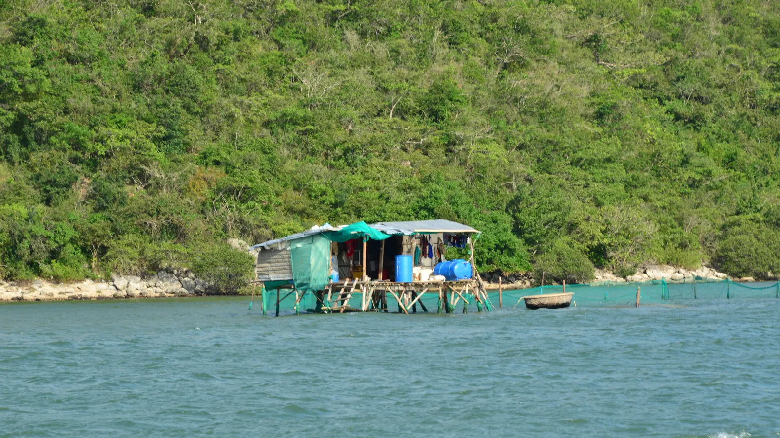
The rafts in the bay off Binh Lap grow the same spiny lobster as the rafts off Binh Ba, and eating it here is the point of the trip for a lot of people. The seafood sellers’ own sites, read in September 2026, put green lobster (tôm hùm xanh) at roughly 800,000 to 1,200,000 VND a kilo and the premium flower lobster (tôm hùm bông) at 1,500,000 VND a kilo and up. May to August is the peak run, and prices creep up in autumn.
Nothing here is sold by the plate. You point at a live animal, it is weighed, and you pay by the kilo at that day’s rate plus a cooking charge. Ask the price per kilo and the cooking fee before it leaves the tank, and watch the scale. The salt and lobster road has more on the trade and on the cheaper mainland way of eating it.
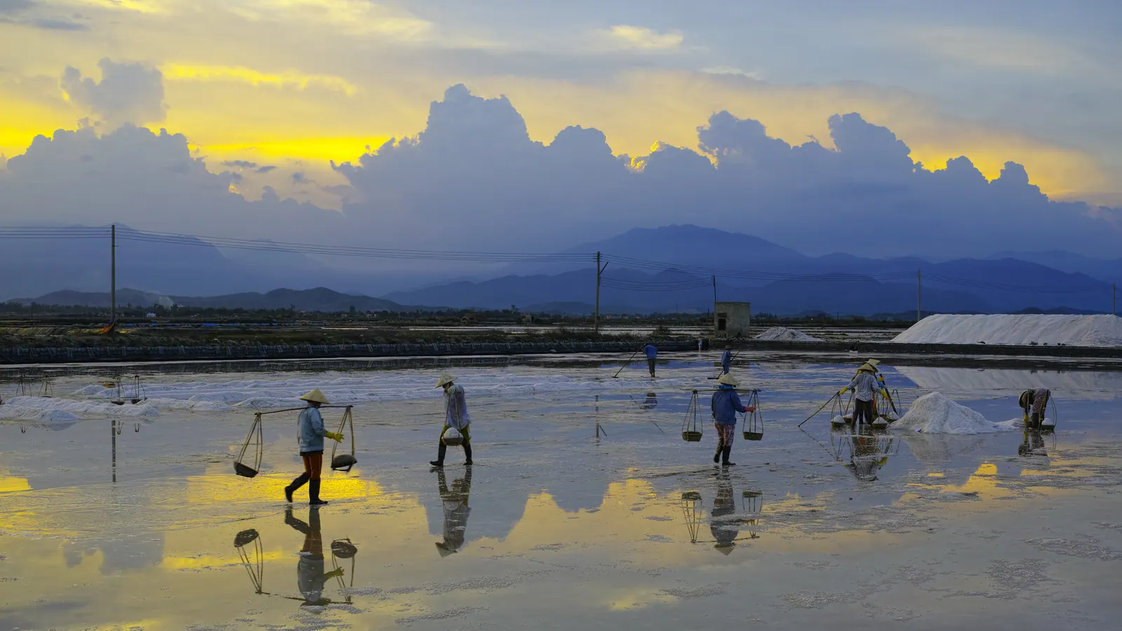
Field note: the salt pans south of Ba Ngoi are on your way in. Leave Nha Trang before dawn and you pass them at first light, when the flooded pans are mirrors and the workers are still on them.
When should you go?
March to September for calm, clear water; the 2026 guide names June to August as the best months, and I would not argue with July. October and November are typhoon months and the guide says to avoid them, which matches my experience of the whole coast in those weeks. Khanh Hoa’s beaches ranked puts Binh Lap in context with the rest.
Bring water, sun cover and small notes; there is no cash machine on the peninsula that I have ever found, and the camps do not take cards. Fuel up in Ba Ngoi.
What I’d do
- Saturday, leave Nha Trang at first light and ride QL1A south through Ba Ngoi, stopping at the salt pans while the light is low. Turn east through Cam Lap and stop at the promontory coves for a first swim.
- Ride on to the end of the road, find a homestay or camp, and spend the afternoon in whichever bay is emptiest. Eat lobster off a raft in the evening, price fixed before it is cooked.
- Sunday, an early swim, then the two smaller bays north and west of the main beach. Leave by mid-afternoon; the QL1A through Cam Ranh is no fun after dark.
- If you would rather sleep on the resort strip and do Binh Lap as a long day, the Cam Ranh Guide hotel list covers Bai Dai, and its page on car rental is the honest read on whether you can drive yourself.