I swim on the central stretch of Trần Phú beach, in front of one of the rescue towers, before eight in the morning, and only when the flag is green. I do it from about February to August. I do not swim at the north end near Hòn Chồng, at the harbour end by Cầu Đá, or in the winter months when the sea runs high and the rip currents form.
That is the whole answer, and everything below is the reasoning. The city beach is a good swimming beach for most of the year, better than its reputation, and it is also the beach where people drown, mostly in winter and mostly under a red flag.
What the city beach actually is
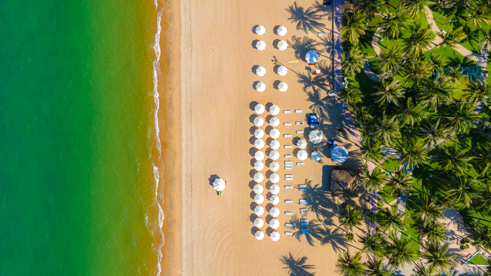
Vietnam Tourism describes the beach that fronts Tran Phu street as about 7 km long; VnExpress, measuring the wider seafront, makes it roughly 12 km. Between the Trần Hưng Đạo shrine and the blocks opposite Mai Xuân Thưởng street it has a landscaped coastal park with a promenade, and the province is turning the whole 16.4 km Tran Phu and Phạm Văn Đồng seafront into a 253-hectare chain of public parks in four zones. The Ana Mandara resort that used to fence off the sand was demolished in 2024 and 2025 and its fences were gone by August 2025, so the beachfront is more open than it has been in twenty years. There are 32 foot-washing stations at the access points, which sounds trivial until you have walked back to a hotel with sand between your toes.
The beach is free and open at all hours. Lifeguard cover is daytime only, and Tran Phu is the only city beach with rescue stations staffed continuously from morning to evening. The Nha Trang Guide page on the beach has the practicalities; this post is about where on it to get in.
The beach section by section
The sand is continuous, but it is not one beach. Reading it from north to south:
| Section | What it is | Do I swim there? |
|---|
| North of the Trần Phú bridge, towards Hòn Chồng | Rocks, the Ba Làng embankment, a known rip-current stretch | No |
| The central park strip, from the 2 April square south past the towers | Rescue towers, flags, the exercise groups, the widest sand | Yes, in front of a tower |
| The southern hotel blocks | Rented sunbeds, fewer towers, quieter water | Sometimes, if a tower is in sight |
| The Cầu Đá end by the harbour | Port water, boats, the cable car station | Never |
The rescue team names its rip-current hotspots, and two of them are on the city beach: the Ba Lang embankment at the north end and the water in front of the College of Culture, Arts and Tourism. The third is near Hon Chong. A rip here is typically 15 to 30 m wide and reaches 100 to 150 m offshore. Those are the published figures, and they match what the water looks like on a rough day: a flat, darker channel between two lines of breaking waves, which is exactly where an inexperienced swimmer thinks the sea is calmest.
What the flags mean, and what the record says
Green means swim, yellow means caution, red means do not enter the water. The central beach flies red for big waves, and the rescue team has said openly that people ignore both the flag and the warning signs. Two tourists photographing the waves were swept off Tran Phu beach on 21 December 2024 and one of them died. On 20 February 2026, in rough seas over Tết, the team pulled ten people out of the water and recovered the body of one foreign man.
I do not write that to frighten anyone. I write it because the beach looks harmless from a hotel balcony and the flag is small. My rule is simple: green flag, a rescue tower within shouting distance, and no swimming at all on the days when the waves are the reason I came down to look. The Nha Trang Guide safety page lists the emergency numbers and the hospitals.
Which months the sea is worth it
The rough season is roughly September to January, with October and November the worst, and accounts from the Bãi Dài coast, which shares this sea, put the windy, cloudy water at November to March. The sea temperature barely moves: 25.5 C in January, 29 C in May. What changes is the swell and the rip.
| Months | Sea temperature | What I do |
|---|
| February to May | 25.5 to 29 C | Swim most mornings; under 70 mm of rain a month |
| June to August | 28.5 to 29 C | Swim early, before the heat; jellyfish peak April to August |
| September | 29 C | Green-flag days only; the rain starts |
| October and November | 27 to 28.5 C | Rarely; the beach flies red on many days |
| December and January | 25.5 to 26 C | Rarely; winter swell and rip currents |
Jellyfish are the other seasonal thing. The peak is April to August and the fire jellyfish is the common one. A sting is painful rather than dangerous for most people, but I have learned to look at the tide line before I go in, because what is lying on the sand was in the water an hour earlier.
The north end past Hon Chong
Hon Chong itself is a viewpoint, not a beach: 30,000 VND to get in as of 2026, open 07:00 to 18:00, and a proper scramble over the boulders. The water off it is not for swimming. The bay management board has been cordoning off the coral between Hon Chong and Đặng Tất during the warm months to protect it, and it is one of the three named rip hotspots. Beyond it, on the road out towards Hòn Hèo, there are small coves and the sand at Bãi Tiên where I have swum on calm days, but there are no rescue towers there and nobody watching, so I only do it in the dry months, with someone else on the sand, and never alone.
Why I skip the harbour end
The southern end of Tran Phu runs into Cầu Đá, where the old tourist pier was and where the Vinpearl cable car station still is. The tourist boats now leave from the wharf at 388 Võ Thị Sáu in Vĩnh Trường, next to the fishing port, and Hòn Rớ beyond it is the largest fishing port on this stretch of the coast. That is a lot of hulls and outboards for one corner of the bay. The water there is port water. I have not measured anything; I simply would not put my head under it when there is a cleaner beach ten minutes north.
Is it worth driving to Bai Dai or Doc Let?
For a different kind of beach, yes. For safer water, not necessarily.
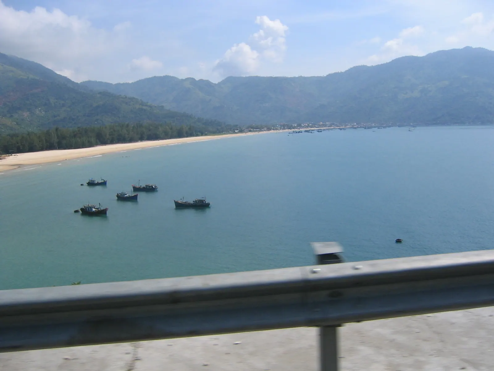
Bai Dai is 20 to 25 km south down Nguyễn Tất Thành, 30 to 40 minutes by car, with more than 15 km of sand and none of the Tran Phu crowding. It is also the surf beach, and the months that make it surfable, November to March, are the months when its currents are serious. April to September is the family swimming window. My notes on Bai Dai in the wind season cover what it is like when the kites are out.
Dốc Lết is 46.3 km north along Highway 1, about an hour by car, and the water is so shallow you can wade a long way out, which is why it is the beach I would take small children to. The resort section charged 50,000 VND an adult in 2025 with a chair and a freshwater shower included; the public sand is free. Go on a weekday, because Vietnamese families fill it at weekends, and I have written up Doc Let on a weekday separately. For how the two compare with everything else on this coast, see the province’s beaches ranked.
Neither has the rescue cover the city beach has. That is the trade-off nobody mentions: the crowded beach is the watched beach.
Field note: the exercise groups on the central sand are in the water by half past five most mornings, in every season, and they know the beach better than any sign. If the regulars are standing on the sand looking at the sea instead of swimming in it, I do the same.
What I’d do
- Walk down to the central park strip between about 05:30 and 08:00, when the locals swim and the sand is empty. Nha Trang at five in the morning is what that hour looks like.
- Find a rescue tower and check the flag. Green, in. Yellow, stay in your depth. Red, go for coffee.
- Swim parallel to the beach, inside the line of breaking waves, in front of the tower.
- If a current takes you, do not fight it straight back to shore: a rip here is 15 to 30 m wide, so swim sideways along the beach until you are out of the channel, then in.
- Between October and January, treat the beach as a place to walk, and drive to Doc Let on a calm weekday if you need to get wet.
- Rinse at one of the foot-washing stations and cross the road for breakfast.